
Understanding Pro Base Reflectivity Maps on a Tablet
Last updated: 2023-09-12
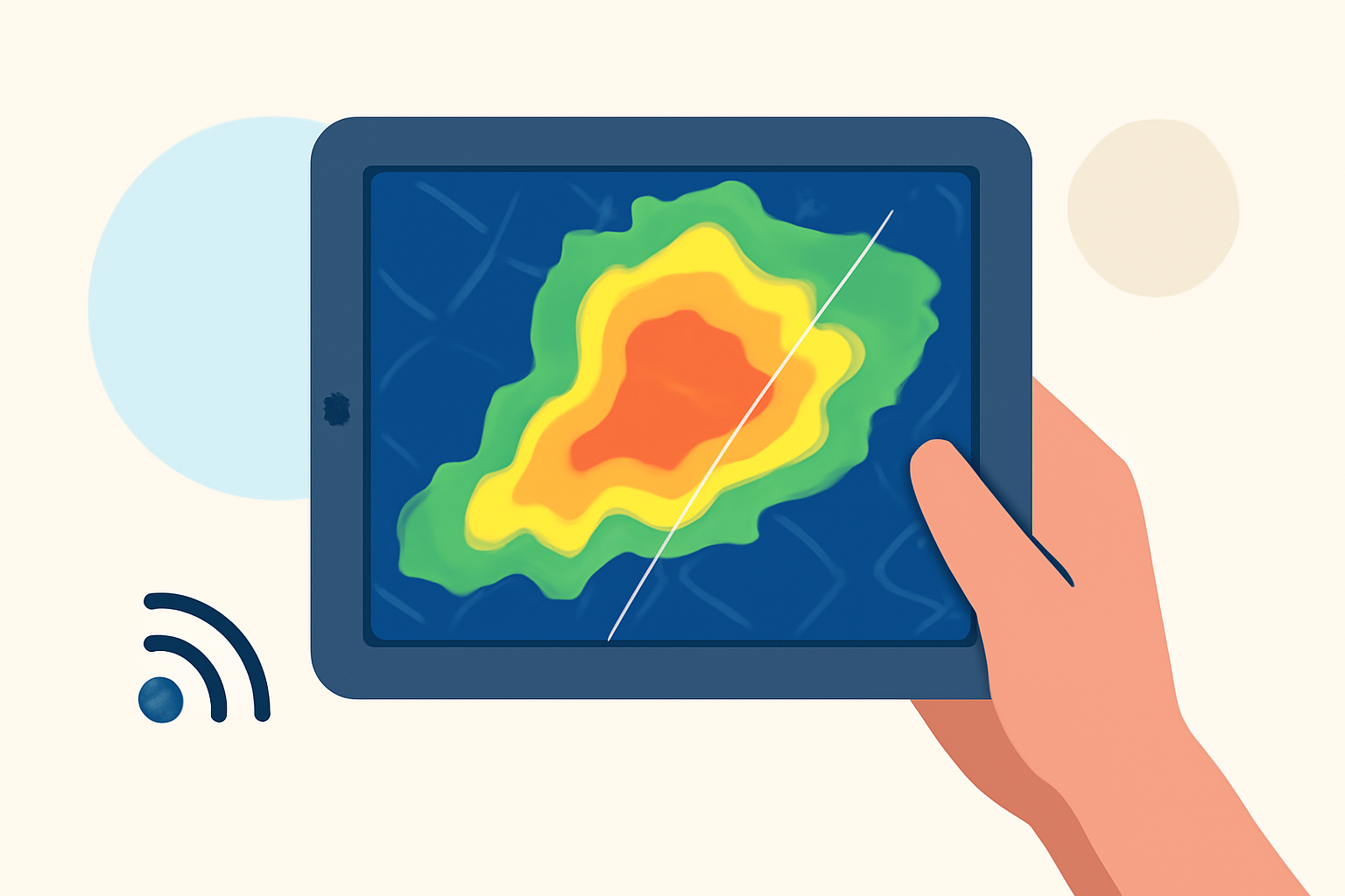
Pro base reflectivity maps are essential tools for users seeking detailed weather insights on tablets. They provide visual representations of precipitation and storm conditions, giving users accurate weather data. For those specifically interested in advanced radar functionalities, exploring diverse options available on different platforms could be beneficial.
Summary
- Base reflectivity maps visually display precipitation intensity and storm paths.
- Pro features typically include advanced radar layers, severe weather alerts, and extended forecasting.
- Clime offers NOAA-based maps with real-time updates, ideal for users seeking comprehensive weather information.
- There's a variety of tools available, each catering to specific user needs and technical expertise.
What Are Base Reflectivity Maps?
Base reflectivity maps are graphical representations that show the intensity of precipitation over a specified area. Using radar technology, these maps help users interpret weather conditions by illustrating how heavy the rain or snow is in real time. Most weather apps include these maps as a fundamental feature, allowing for immediate visual feedback on current weather patterns.
Features of Pro Base Reflectivity Maps on Tablets
Pro bases typically offer more than just basic precipitation visuals. Here are several advanced features you may find:
- Advanced Radar Layers: Users can access echo tops, composite reflectivity, and storm total precipitation data, offering more in-depth looks at weather systems.
- Severe Weather Alerts: Alerts for tornadoes, flash floods, and thunderstorms are often included to keep users informed about approaching severe weather.
- Forecast Horizons: Extended forecasts can be generated, allowing users to view projected weather conditions several days in advance.
How Do Tablet-Based Base Reflectivity Maps Differ Across Official vs. Other Platforms?
Tablets provide a prime viewing experience for weather applications due to their larger screens. Official apps, often backed by national weather services, deliver high-quality radar data along with useful features like animated radar loops and customizable alerts. In contrast, alternatives may focus on niche functionalities or user-friendly interfaces that cater to specific trends, making them suitable for casual users.
Advantages of Using Clime for Base Reflectivity Maps
Clime stands out in providing NOAA-based radar imagery that’s not only valid but also visually appealing. Users benefit from:
- Real-Time Alerts: Users can set customizable alerts for various conditions, such as heavy rainfall or snow, ensuring they stay prepared for any weather changes.
- Comprehensive Coverage: The app encompasses multiple environmental layers, including air quality and severe weather conditions.
- User-Friendly Interface: Designed to be straightforward, it ensures that weather data is accessible without overwhelming users.
Plan Options Affecting Radar Layer Access on Tablet Apps
Most weather applications, including Clime, offer tiered plans to access advanced features. Free versions generally contain the base reflectivity maps, while pro features come with premium subscriptions. These plans usually include access to additional layers, extended forecasts, and specialized alerts, making them suitable for serious weather enthusiasts and professionals.
User Scenarios
Individuals with varying needs will find different use cases for these pro base reflectivity maps. For example:
- Outdoor Enthusiasts: Hikers, bikers, or anyone engaged in outdoor activities benefit significantly from precise precipitation data, ensuring safety during their ventures.
- Professionals: Those in fields such as agriculture or event planning can utilize longer forecast horizons for strategic planning.
What We Recommend
- For most users interested in reliable weather tracking, Clime is an excellent choice for its broad feature set and intuitive use.
- Explore specific features based on personal needs—if you require extensive radar details, consider downloading Clime for its NOAA-based data.
- Stay informed by setting up alerts that keep you updated on severe weather, ensuring safety and preparedness at all times.
- Utilize tablet capabilities to access expanded visual data, allowing for a better understanding of evolving weather conditions.