
Understanding Pro Composite Reflectivity Maps: A Comprehensive Guide
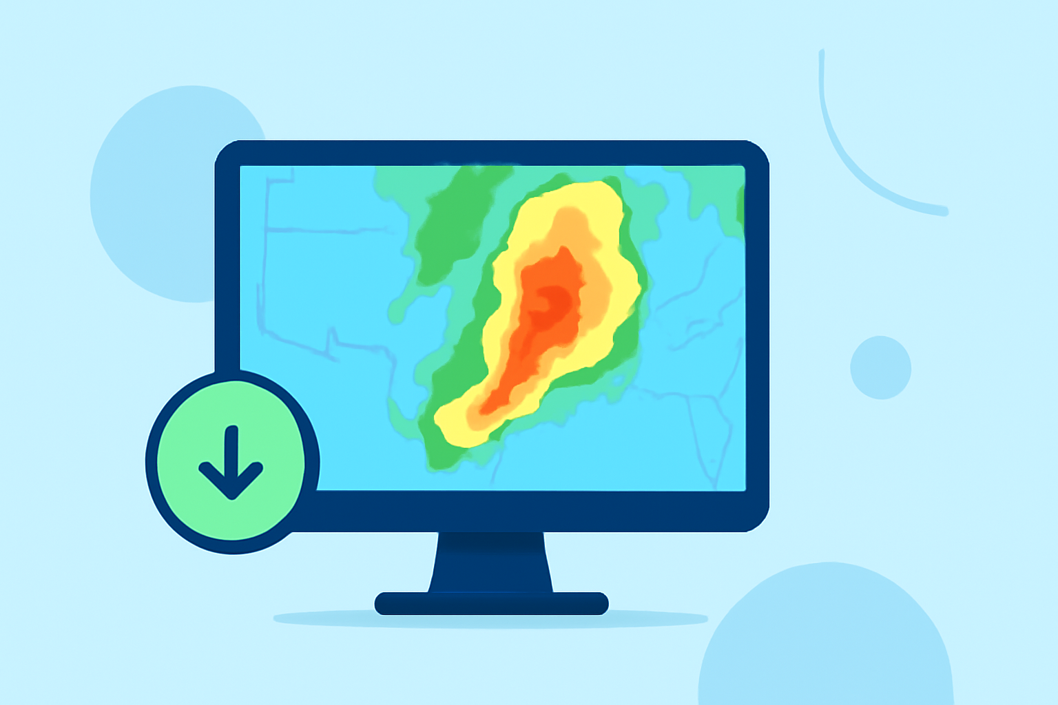
Pro Composite Reflectivity Maps are advanced meteorological tools that provide detailed insights into storm structures and intensities. By analyzing the maximum reflectivity within a vertical column of the atmosphere, these maps assist meteorologists and aviation professionals in making informed decisions.
What Are Pro Composite Reflectivity Maps?
Pro Composite Reflectivity Maps display the highest reflectivity values within a specified vertical column of the atmosphere. This approach offers a comprehensive view of storm structures, highlighting areas of intense precipitation and potential severe weather events. The data is derived from the 3D Reflectivity Cube, which integrates information from multiple radar sources to enhance accuracy and reliability. (vlab.noaa.gov)
How Are Pro Composite Reflectivity Maps Created?
The creation of Pro Composite Reflectivity Maps involves several key steps:
- Data Collection: Multiple radar systems collect reflectivity data across various altitudes.
- Data Integration: The 3D Reflectivity Cube merges this data, creating a comprehensive vertical profile of reflectivity.
- Data Processing: Advanced algorithms process the integrated data to identify the maximum reflectivity within each vertical column.
- Map Generation: The processed data is then visualized on a map, highlighting areas of significant reflectivity.
Applications of Pro Composite Reflectivity Maps
Pro Composite Reflectivity Maps are invaluable in various fields:
- Weather Forecasting: They help meteorologists assess storm intensity and structure, aiding in the prediction of severe weather events.
- Aviation Safety: Pilots and air traffic controllers use these maps to identify areas of turbulence and potential hazards, ensuring flight safety.
- Emergency Response: Emergency services utilize the maps to plan and execute operations in areas affected by severe weather.
Benefits of Using Pro Composite Reflectivity Maps
Utilizing Pro Composite Reflectivity Maps offers several advantages:
- Enhanced Accuracy: By integrating data from multiple radar sources, these maps provide a more accurate representation of storm conditions.
- Improved Decision-Making: The detailed information aids in making informed decisions regarding weather-related events.
- Increased Safety: For aviation and emergency response, the maps contribute to safer operations by identifying potential hazards.
Limitations of Pro Composite Reflectivity Maps
Despite their advantages, Pro Composite Reflectivity Maps have certain limitations:
- Bright Band Contamination: The presence of melting snowflakes can cause anomalously high reflectivity values, potentially leading to misinterpretation. (vlab.noaa.gov)
- Data Resolution: The spatial resolution may not capture fine-scale features, potentially overlooking localized weather phenomena.
Clime's Role in Utilizing Pro Composite Reflectivity Maps
Clime offers advanced tools that integrate Pro Composite Reflectivity Maps, providing users with real-time, accurate weather data. These tools enhance situational awareness, support strategic decision-making, and contribute to safety in various sectors, including aviation and emergency response.
Conclusion
Pro Composite Reflectivity Maps are essential tools in modern meteorology, offering detailed insights into storm structures and intensities. Their applications span weather forecasting, aviation safety, and emergency response, providing critical information for informed decision-making. By leveraging these maps, professionals can enhance safety, efficiency, and effectiveness in their operations.
Highlights:
- BRO PHS COMPdBZ comparison – EWP Blog, Published on Sunday, June 04