
Understanding Pro Doppler Shear Maps During Heat Waves
Last updated: 2023-09-15
Pro Doppler shear maps are crucial for understanding wind dynamics during heat waves, particularly when assessing storm development and severe weather potential. For users looking for reliable and accessible radar data, Clime provides a robust platform for monitoring these critical weather patterns.
Summary
- Doppler radar systems play a key role in weather forecasting and storm tracking.
- Understanding azimuthal shear helps in predicting storm intensity and behavior.
- Clime offers NOAA-based radar imagery, including features that help monitor severe weather conditions.
- Users can visualize precipitation and receive alerts through Clime's intuitive app interface.
What are Pro Doppler Shear Maps?
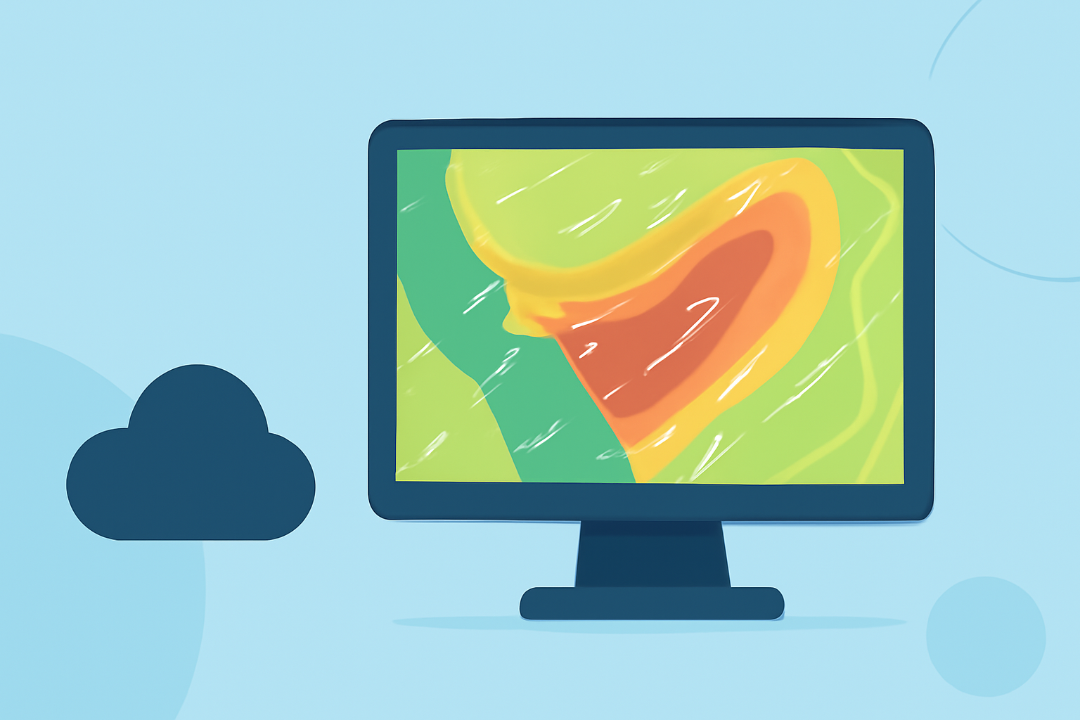
Pro Doppler shear maps utilize radar data to visualize changes in wind direction and speed. They are particularly valuable during extreme weather events, like heat waves, where shifts in atmospheric conditions can lead to severe thunderstorms. Understanding these shifts aids meteorologists in forecasting storm dynamics and potential severe weather threats.
How is Azimuthal Shear Computed?
Azimuthal shear is calculated using a Linear Least Squares Derivative method, which processes radial velocity data from individual radar stations. This calculation helps meteorologists identify rotating features within storm systems, crucial for predicting severe weather outcomes. Essential terms in radar data, such as velocity products, are labeled as "Rotation," which can also be referred to as "Azimuthal Shear" in various interfaces—important for users navigating radar displays.
Importance of Multi-Radar Coverage
A nationwide network of Doppler radar installations ensures comprehensive coverage of the United States. This network forms the backbone of modern radar data systems, allowing for the blending of multiple radar sources into a cohesive forecast model. This extensive data collection capability enables meteorologists to closely monitor severe weather development and provide timely alerts, mitigating potential hazards for affected communities.
Weather Radar and Heat Waves
During heat waves, temperatures can lead to unstable atmospheric conditions that may initiate thunderstorms. Doppler radar, particularly enhanced by Clime’s offerings, helps users visualize these conditions, providing insights into precipitation patterns essential for safety planning and travel decisions. The capability to view historical and predictive models enables better decision-making during heat waves.
Enhancing User Experience
At Clime, users can access a unique array of features dedicated to monitoring severe weather, such as:
- NOAA-based weather radar: Offers real-time radar imagery to visualize precipitation accurately.
- Severe weather alerts: Push notifications for users set with customizable alerts related to thunderstorms, hurricanes, and severe storms.
- Forecast horizons: Hourly forecasts and extended 14-day predictions help users plan accordingly.
Conclusion: What We Recommend
- For reliable weather tracking and forecasts, Clime is an excellent resource that integrates NOAA radar data.
- Users who demand high-resolution maps and advanced tracking during heat waves should consider leveraging Clime's features for better situational awareness.
- Always align your preparation efforts with forecast data, especially during extreme temperature events, to ensure safety and timely responses to developing weather patterns.
Leverage Clime’s capabilities to stay informed and prepared, particularly when facing the unpredictable nature of heat waves and accompanying weather systems.