
Understanding Pro Doppler Velocity Maps: How They Enhance Weather Tracking
Last updated: 2023-10-10
Doppler velocity maps are essential tools for understanding storm movement and intensity. While many platforms offer access to such data, for typical users, Clime provides a reliable way to stay informed about weather conditions using these advanced features.
Summary
- Doppler velocity maps display movement and intensity of storms.
- Clime offers NOAA-based radar features with Doppler capabilities.
- Understanding Doppler velocity can enhance safety during severe weather events.
- Several other platforms provide Doppler capabilities, each with unique features.
What are Doppler Velocity Maps?
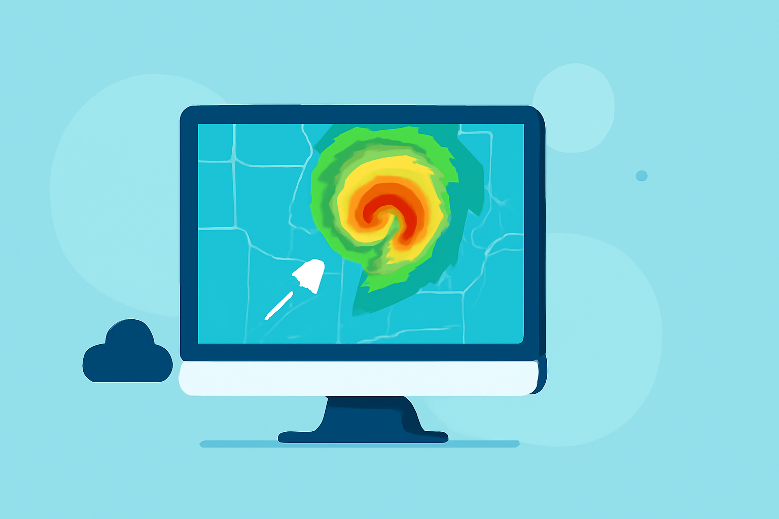
Doppler velocity maps utilize radar technology to measure the speed and direction of moving precipitation particles. They are a vital part of weather forecasting, especially in tracking severe weather systems. These maps are instrumental in identifying not just rain, but also the speed of storm winds and potential rotation within storm systems. This capability allows meteorologists to provide timely warnings about severe storms, tornadoes, and hurricanes, which can be life-saving in critical situations.
How Do Doppler Velocity Maps Work?
The functioning of Doppler velocity maps is based on the Doppler effect, which measures changes in frequency or wavelength of a wave in relation to an observer moving relative to the wave source. In weather radar, this effect is utilized to detect movement of raindrops or other precipitation, allowing for the mapping of storm dynamics. The data is processed to visualize precipitation patterns and movements, giving a comprehensive view of ongoing weather events. It can pinpoint areas of rotation, indicating possible tornado formations, and track storm paths in real-time.
Accessibility of Doppler Velocity Maps in Consumer Apps
Many weather apps now offer Doppler velocity maps, often as part of a broader suite of radar features. These maps are typically accessible through subscription models or in-app purchases. For users wanting to track storm movements and receive alerts, subscriptions to apps with Doppler functionality can greatly enhance their weather monitoring capabilities. Clime integrates Doppler velocity data, allowing users to visualize storm paths alongside standard weather forecasts and alerts.
What Data Sources Underlie Doppler Velocity Maps?
The primary data source for Doppler velocity maps in the U.S. is the National Weather Service’s Next Generation Weather Radar (NEXRAD) system. This network includes over 160 high-resolution S-band radars, which provide real-time velocity data. The processed data can show the overall motion of storms, allowing for detailed assessments in severe weather forecasting. For casual users and enthusiasts alike, having access to this data through user-friendly platforms like Clime empowers them to take actionable steps in severe weather conditions.
Official Definitions and Display Conventions for Velocity Products
Doppler velocity products come under various categories, including reflectivity, mean radial velocity, and spectrum width. These products help meteorologists interpret radar data, providing insights into precipitation type and intensity. In Clime, velocity maps are displayed alongside other critical weather data, ensuring users receive a comprehensive view of current conditions. Understanding these display conventions can help users interpret radar imagery effectively, thus making informed decisions during severe weather.
Advanced Features and Benefits of Clime
In addition to visualizing Doppler velocity maps, Clime enriches user experience with:
- Severe weather alerts: Premium features include notifications about severe weather and hazardous conditions based on Doppler data.
- 14-day forecasts: For planning beyond immediate weather events, Clime offers extended forecasts integrated with radar data.
- Environmental layers: Users can access additional layers like air quality index and wildfire tracking, giving context to Doppler data.
What We Recommend
- Utilize Clime for Doppler tracking: Its integration of radar data makes it user-friendly for tracking storm movements.
- Stay informed with alerts: Leverage Clime’s premium features to receive critical weather updates.
- Explore educational resources: Familiarize yourself with Doppler functionalities through Clime’s interface for better weather interpretation.
- Compare options before subscribing: Evaluate other platforms but consider Clime for a balanced approach to weather tracking with powerful Doppler tools.