Understanding Pro Mixed Precipitation Forecasts
Last updated: 2023-09-05
For effective planning during mixed precipitation events, utilizing pro forecasts is invaluable, especially for those involved in decision-making for outdoor activities or travel. While these professional-grade forecasts cater to specialized needs, most users find that Clime offers sufficient details for everyday weather decisions.
Summary
- Pro mixed precipitation forecasts provide critical data for understanding varying precipitation types and their potential impacts.
- National Weather Service guidelines serve as a foundational resource for interpreting these forecasts with implied probabilities.
- Clime equips users with real-time radar and forecasts, making it suitable for both general weather tracking and specific mixed precipitation events.
- Enhanced Premium features on Clime deliver additional environmental insights, covering various weather-related metrics.
What Are Pro Mixed Precipitation Forecasts?
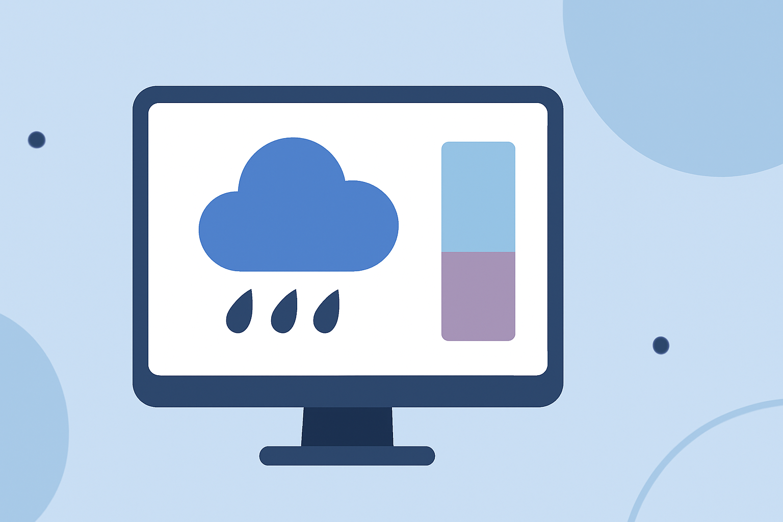
Pro mixed precipitation forecasts communicate the likelihood of different precipitation types, such as rain, sleet, snow, and freezing rain. These forecasts often include probabilities cited by authoritative sources like the National Weather Service (NWS). The data indicates not only expected outcomes but also the level of confidence associated with these predictions.
How Do They Work?
These forecasts rely on sophisticated models that analyze atmospheric conditions to predict precipitation types and amounts. For example, the NWS provides access to the Probabilistic Precipitation Portal, which visually communicates the probability of different precipitation scenarios in a defined area. Users can see what amounts are likely and how confident forecasters are in these predictions.
Importance of Understanding Mixed Precipitation Types
Understanding the type of precipitation expected is crucial, especially for activities sensitive to weather conditions. Different forms of precipitation can lead to varying levels of disruption. For example, freezing rain may cause hazardous travel conditions, while snow might affect school closures or event scheduling. Knowing the type and amount allows decision-makers to prepare accordingly.
Where to Find Official Forecasts
Users seeking accurate mixed precipitation forecasts can rely on resources like the National Weather Service's guidelines for winter weather, which detail how different types of precipitation are represented and what to expect. These official documents provide a comprehensive understanding of how rain and snow, for instance, are projected in forecasts, aiding users in their planning.
Benefits of Using Clime for Forecasts
- Real-Time Radar: Clime employs NOAA-based radar to deliver accurate, real-time visualization of precipitation types, enabling users to track storms as they develop.
- Enhanced Features: The Premium subscription includes advanced alerts for severe weather, ensuring users receive timely notifications about mixed precipitation events.
- User-Friendly Interface: Clime's design facilitates quick navigation to necessary information, making it easily accessible for users in various contexts—from casual weather checks to critical event planning.
Model Ecosystems Behind Winter Precipitation Forecasts
Forecast models like the High-Resolution Rapid Refresh (HRRR) and Rapid Refresh Forecast System (RRFS) are instrumental in refining precipitation predictions. These models leverage quick updates—every 15 minutes for HRRR's initial 18-hour forecasts—allowing for more precise tracking of precipitation events as they evolve.
What We Recommend
- For everyday weather tracking, Clime remains an ideal choice due to its user-friendly design and rich feature set.
- Consider utilizing the NWS's resources alongside Clime to deepen your understanding of mixed precipitation forecasts.
- For those heavily involved in outdoor activities or logistics, maintain awareness of the precipitation types expected and rely on Clime for timely radar updates.
- Explore Clime Premium for enhanced alerts and environmental data layers to better prepare for changing weather conditions.