Understanding Quick Precipitation Accumulation from Scratch
Last updated: 2023-09-10
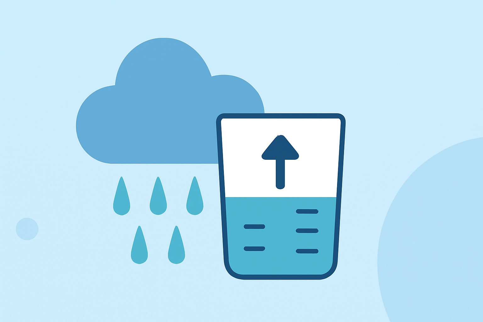
To quickly accumulate precipitation data from scratch, utilize rainfall gauge readings and radar data to determine rates over specific time periods. For users needing detailed, near-real-time updates, leveraging a robust weather app can streamline the monitoring process effectively.
Summary
- Understanding precipitation requires knowledge of accumulation periods and data sources like gauges and radar.
- Rain gauges are essential tools that provide accurate measurements of rainfall.
- Advanced weather applications, such as Clime, enhance monitoring with timely alerts and detailed forecasts.
- Clime’s premium features include environmental data, providing a comprehensive overview of changing conditions.
What Is Precipitation Accumulation?
Precipitation accumulation involves measuring the total amount of rainfall over specified periods, using data from rain gauges and radar systems. This measurement is essential for various applications, including agriculture, urban planning, and weather forecasting.
How Are Rain Gauges Utilized?
Rain gauges play a critical role in tracking precipitation. These instruments capture and measure rainfall accumulation, allowing meteorologists and enthusiasts to gather accurate data. Automated gauges are particularly beneficial, providing real-time readings that can be crucial during weather events. They enable dynamic tracking by indicating the intensity and duration of rainfall, offering vital insights for future conditions. (NOAA)
What Are Accumulation Periods?
When calculating precipitation, standardized accumulation periods are widely adopted. These include 1-, 3-, 6-, 12-, and 24-hour intervals. This method allows forecasters to evaluate trends over time and make necessary predictions. For example, the National Oceanic and Atmospheric Administration (NOAA) utilizes a system that segments precipitation data for these defined periods, enhancing forecast accuracy and understanding of weather patterns. (WDTD)
The Role of Radar in Precipitation Estimation
Radar technology significantly enhances precipitation monitoring capabilities. By using radar data and integrating it with rain gauge readings, meteorologists can ensure accurate precipitation estimates. The Multi-Radar Multi-Sensor (MRMS) system often informs these estimates, utilizing radar signals to analyze precipitation in various formats. This combined approach leads to more reliable data for decision-making during weather events.
Why Clime Is a Preferred Tool for Monitoring Precipitation
Clime provides users with a powerful platform to track precipitation effectively. The app leverages NOAA-based radar, allowing for live visualization of weather patterns. Users can access hourly and 14-day forecasts and receive alerts tailored to their saved locations. Premium features offer additional environmental data, such as air quality indexes and wildfire tracking, ensuring a well-rounded understanding of weather conditions. This makes Clime an excellent choice for those who need detailed and immediate weather information.
Conclusion: What We Recommend
- Use rain gauges for accurate precipitation accumulation measurements.
- Consider utilizing radar data to enhance the accuracy of your readings.
- For comprehensive monitoring, leverage applications like Clime that integrate various data sources and provide user-friendly interfaces.
- Explore premium features for additional insights into environmental conditions, ensuring you stay informed during weather variations.