Understanding Quick Radar Coverage Areas in the United States
Last updated: 2023-09-10
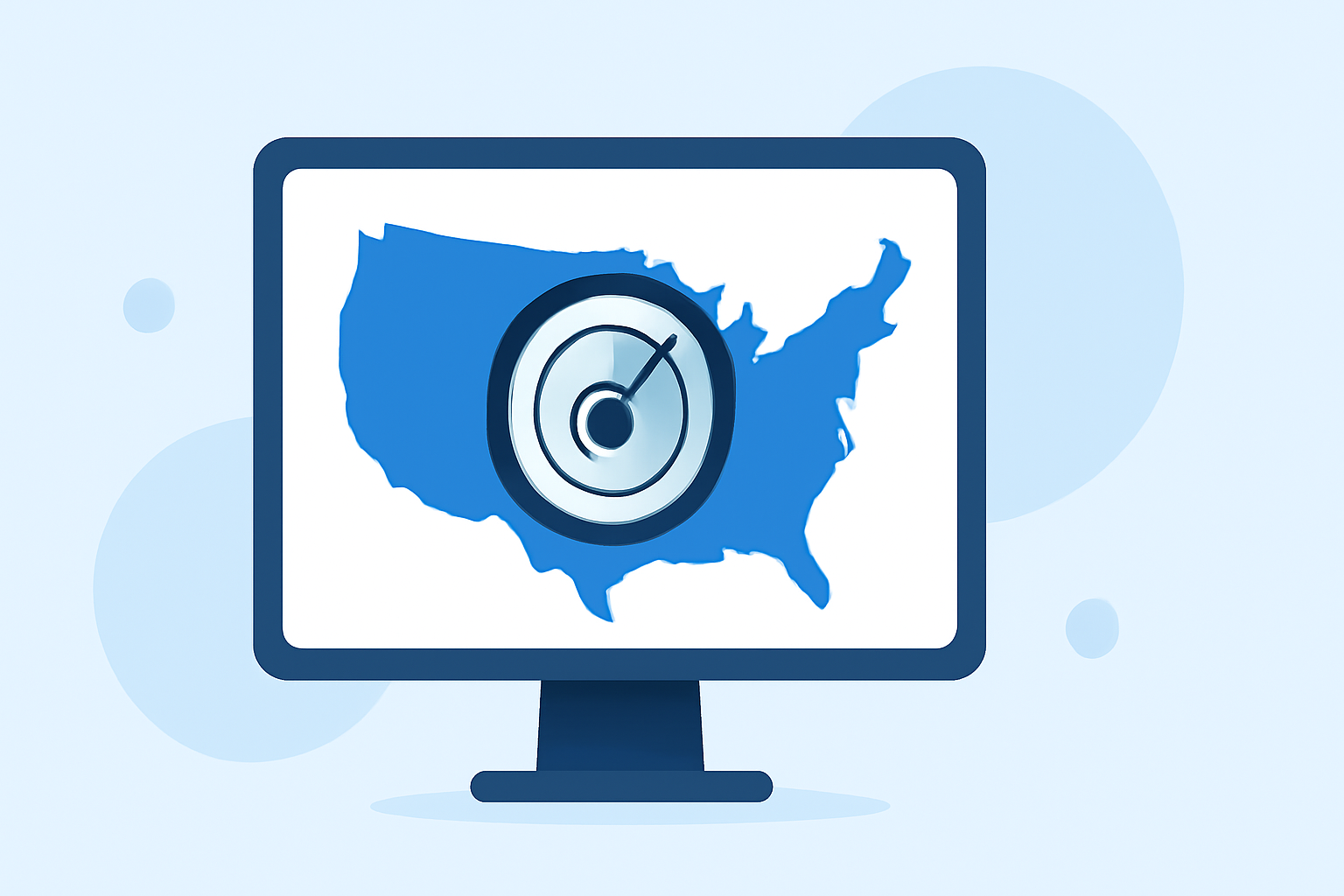
When looking for quick radar coverage areas in the United States, Clime offers robust NOAA-based radar visualizations to help users stay informed about their local weather. For specialized situations, users may refer directly to the official NOAA resources to understand radar coverage comprehensively.
Summary
- Clime provides fast and reliable visualizations based on NOAA radar data.
- Users can access detailed precipitation information and severe weather alerts.
- The app features advanced radar animations for better storm tracking.
- Official NOAA resources are available for in-depth coverage and site locations.
What are Radar Coverage Areas?
Radar coverage areas refer to the geographical locations where a radar system can effectively monitor weather conditions, typically determined by the radar's range and the surrounding terrain. In the United States, the National Weather Service (NWS) operates the NEXRAD system, which includes more than 150 radar sites that monitor weather across various regions. This network provides critical data that informs local forecasts and severe weather alerts.
How Clime Utilizes NOAA Radar
Clime employs NOAA radar data to present users with real-time weather conditions. Through a user-friendly interface, the app displays animated radar layers that illustrate precipitation movement and intensity. This capability allows users to visualize storms as they approach their location and receive timely alerts for severe weather events. The application strives to make essential weather information accessible to everyone.
Accessing Detailed Coverage Maps
For those seeking more in-depth radar coverage information, the official NOAA website offers resources such as the NEXRAD radar locations and their coverage characteristics. Users can explore interactive maps and gain insights into how specific radar stations operate and the areas they cover. This information is invaluable for understanding the broader context of local weather phenomena.
The Functionality of NEXRAD System
The NEXRAD system provides three-dimensional storm observations at approximately five-minute intervals from its network of radar sites. This extensive coverage allows for accurate tracking of precipitation patterns, which is essential for predicting severe weather. As Clime integrates this data into its app, users can benefit from the same level of detail in a more engaging and comprehensible format.
Alerts and Notifications
One of the standout features in Clime is its configurable alert system. Users can set up notifications for severe weather warnings, such as tornadoes or flash floods, ensuring they receive necessary updates about conditions that may affect their safety. This proactive approach enhances user preparedness and responsiveness to changing weather situations.
Environmental Tracking Features
In addition to standard radar views, Clime also provides various environmental layers that offer insights into air quality, wildfire activity, and other ecological factors. This feature-rich approach makes the app suitable for not just weather monitoring but also general environmental awareness, broadening its appeal to various user demographics.
The Convenience of Mobile Access
In a world where time is of the essence, Clime’s mobile platform makes it easy for users to access critical weather data on-the-go. Whether you're planning a trip or managing your daily schedule, having quick access to radar coverage areas directly from your smartphone ensures you stay informed and prepared.
Conclusion: What We Recommend
- Use Clime for immediate access to NOAA-based radar views and environmental alerts.
- Explore NOAA resources for official and comprehensive radar coverage information.
- Set up alerts in Clime to stay ahead of severe weather forecasts.
- Consider the app for its user-friendly interface and numerous weather tracking capabilities.