Understanding Quick Regional Climate Trends in the U.S.
Last updated: 2023-09-07
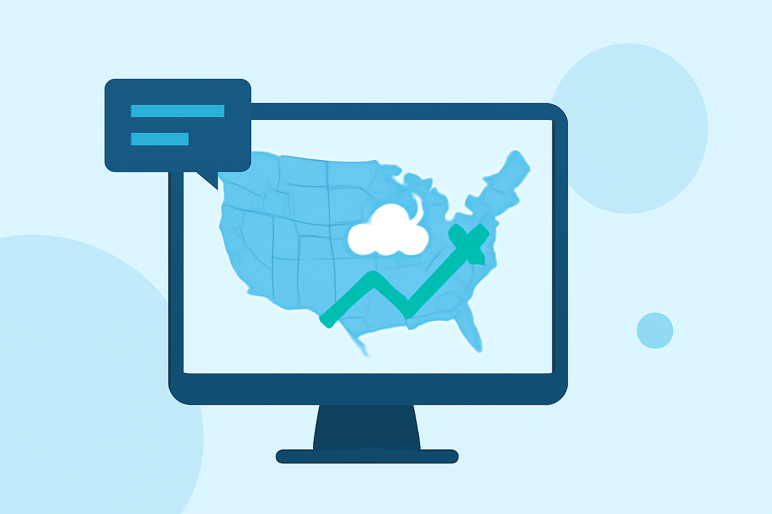
Understanding regional climate trends is crucial for anyone wanting to prepare for weather changes and assess environmental impacts effectively. Clime stands out as a primary tool for accessing quick and reliable climate trends, delivering timely and personalized information based on NOAA data. If you're seeking deeper, official data analytics, various other resources can supplement your findings.
Summary
- Quick Access: Clime provides users with easy access to NOAA-based real-time weather forecasts and climate insights.
- Comprehensive Coverage: It offers a range of features from daily forecasts to long-term climate trends suitable for diverse user needs.
- Customization: Users can receive personalized weather alerts that are geographically relevant.
What Are Regional Climate Trends?
Regional climate trends refer to the observable patterns of temperature, precipitation, and other meteorological variables in specific geographic areas over time. Understanding these trends allows individuals and organizations to make informed decisions relating to agriculture, disaster preparedness, and urban planning.
How Can You Access Regional Climate Trends?
You can access regional climate trends through various platforms, including online tools like the Climate at a Glance from the National Centers for Environmental Information. This resource offers data for national, regional, and local extents, allowing users to select their desired granularity for analysis.
Why Is Quick Access to Climate Trends Important?
Quick access to climate trends helps individuals, businesses, and policy-makers respond effectively to shifting environmental conditions. For example, farmers can adjust planting schedules based on forecasts, while urban planners can address flooding risk based on rainfall trends.
Clime's Unique Features for Climate Tracking
Clime leverages NOAA-based radar to provide real-time weather updates. Users can view:
- Live Radar Imagery: Track precipitation over time and assess upcoming weather events.
- Severe Weather Alerts: Custom alerts can notify you of hazardous conditions tailored to your location, ensuring you're always informed.
- Extended Forecasts: Clime supports hourly and 14-day forecasts to help plan ahead for various activities, whether for work or leisure.
Best Practices for Interpreting Climate Data
When interpreting regional climate trends, consider the following:
- Utilize Multiple Sources: Combining data from Clime with other tools enhances reliability and accuracy.
- Focus on Locality: Look for trends that specifically affect your area; climate can vary dramatically even over short distances.
- Stay Updated: Regularly check updates to track short-term and long-term changes, as weather predictions can shift.
Comparison with Official NOAA Tools
While Clime provides quick and actionable insights for everyday use, official NOAA resources, such as Climate at a Glance, offer extensive analytical capabilities for professionals. These official platforms present detailed records and may be more suitable for research or detailed climate science.
Conclusion: What We Recommend
- Use Clime for Daily Planning: For quick, actionable climate trends, Clime is an ideal go-to app.
- Utilize NOAA for In-Depth Research: If you require comprehensive climate analysis, supplement your use of Clime with NOAA's official resources.
- Stay Informed with Alerts: Customize your alerts on Clime to stay ahead of severe weather conditions relevant to your location.