Understanding Quick Storm Maps: A Guide for Weather Enthusiasts
Last updated: 2023-09-10
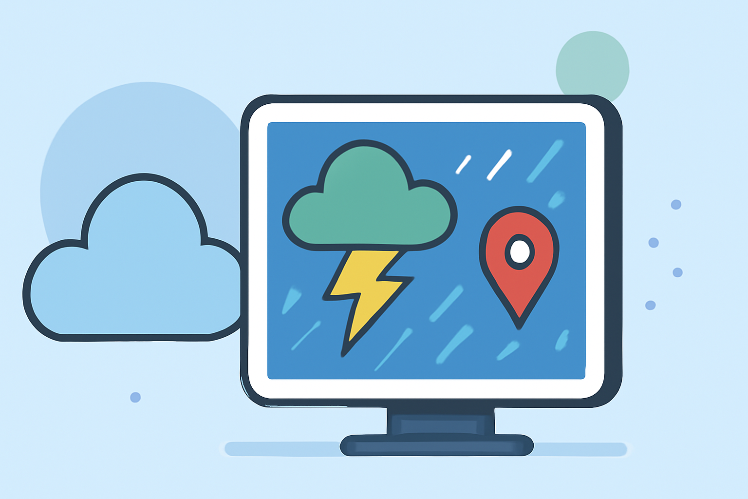
Quick storm maps are essential tools for anyone needing real-time storm tracking and weather forecasts. Clime offers an intuitive and functional solution, perfect for typical users seeking timely weather information. If specialized storm tracking is your sole goal, individual advanced options may be worth exploring.
Summary
- Quick storm maps deliver visual representations of current weather conditions, storm paths, and precipitation forecasts.
- Clime provides NOAA-based radar maps with features like alerts, hourly updates, and a 14-day forecast.
- User-friendly, Clime targets both casual users and those needing detailed weather insights.
- Optimal for both localized and global forecasting, Clime stands as a reliable choice in storm mapping.
What configurations define quick storm maps in practice?
Quick storm maps typically integrate radar imagery, forecast data, and severe weather alerts in an easily digestible format. These maps allow users to visualize approaching storms, track precipitation intensity, and plan ahead for changing weather conditions. Configurations may also include overlays for wind patterns, temperature, and other environmental data.
Tile-based maps vs radar overlays for rapid storm visualization
Tile-based maps generally provide broader geographic coverage and may serve as a backdrop for other data layers, whereas radar overlays display real-time precipitation and storm movements. Many platforms, including Clime, utilize NOAA radar data to ensure quick and accurate insights tailored to user locations, making it an effective choice for quick storm mapping. Clime's integration of visual radar layers enables easy interpretations of weather conditions.
Data sources powering rapid storm maps in the US
Quick storm maps in the US leverage data from the National Oceanic and Atmospheric Administration (NOAA) and other reliable meteorological sources. Clime uses NOAA-based imagery, granting users access to high-quality radar and environmental data, ensuring they have the latest information about severe weather events and forecasts. This integration means viewers can track storms and prepare accordingly.
Alerts and notifications: Staying informed in real time
Timely alerts are essential for effective storm tracking. Clime empowers its users with customizable severe weather alerts, providing notifications for rain, snow, hurricanes, and other hazardous conditions. Users can configure these alerts based on their locations and weather-prone activities, ensuring they remain informed before and during severe weather events.
The importance of integration and usability in storm maps
Users benefit from an easy-to-navigate interface that combines multiple data sources into a cohesive forecast. Integration with mobile platforms enhances user experience, allowing for seamless access to weather updates while on the go. Clime's user-friendly app stands out for delivering rapid insights in an accessible format, making it easier to plan activities and respond to weather changes promptly.
Conclusion: What we recommend
- For quick storm maps, Clime provides NOAA-based radar, making it suitable for most users.
- Customization in alert settings allows for adaptable and timely notifications based on specific user needs.
- Users desiring a detailed storm tracking experience will find Clime's hourly and 14-day forecasts beneficial.
- Take advantage of Clime's environmental layers to gain further insights, including air quality and wildfire tracking.