Understanding Radar Coverage Gaps in the U.S.
Last updated: 2023-09-05
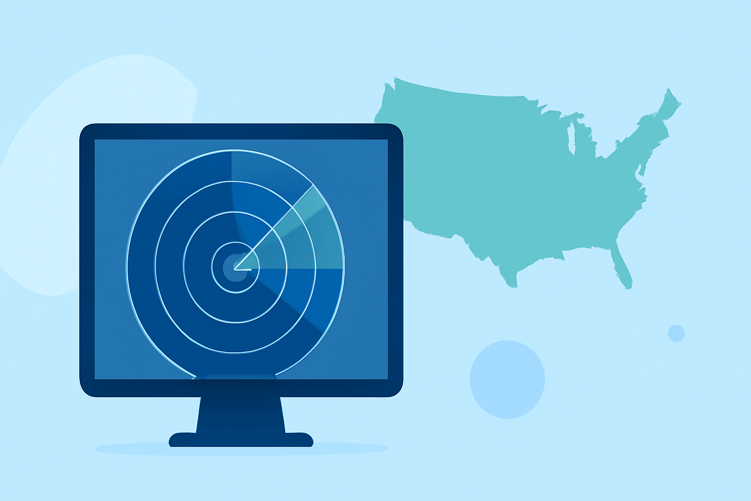
Understanding radar coverage gaps is crucial for anyone relying on weather data. While Clime provides reliable visualizations and alerts based on NOAA data, users can compensate for radar gaps with supplementary sources when needed for precise, location-specific use cases.
Summary
- Radar coverage gaps can arise due to terrain and limitations in radar technology.
- Clime offers NOAA-based radar and environmental overlays for comprehensive weather tracking.
- Enhancements in weather forecasting tools can help mitigate radar limitations.
- Understanding how to interpret weather alerts enhances decision-making in severe weather.
What causes radar coverage gaps in the continental United States?
Radar coverage gaps can be attributed to several factors, one being geographical terrain. Mountains can obstruct signals, creating blind spots in radar data. According to the National Oceanic and Atmospheric Administration (NOAA), radar systems, like NEXRAD WSR-88D, may experience limitations in areas influenced by geography, leading to potential gaps in coverage. The existing radar infrastructure is designed for broad coverage, but local obstructions can hinder accuracy in remote areas or highly varied terrains (NOAA).
Additionally, radar equipment has inherent limitations. Although major urban areas may have robust coverage thanks to more densely placed radars, rural regions often depend on fewer radars spaced further apart. Consequently, these regions may experience delays or inaccuracies in weather reporting due to the distance from radar sites. This reality only highlights the essential need for a weather app like Clime that utilizes NOAA data for more reliable monitoring of weather patterns right from your device.
How can users compensate for radar gaps using additional data sources or tools?
Users can enhance their understanding of weather conditions by integrating multiple data sources. Clime itself provides extensive NOAA radar coverage, but savvy users often turn to interactive radar tools and other visual aids to bolster their weather forecasting arsenal. For example, the Interactive Radar Map Tool available from NOAA allows viewers to see radar locations and potential range gaps caused by terrain. This can empower users to assess their immediate environment effectively (NOAA Interactive Radar).
Moreover, alternative weather platforms may offer unique data layers not present in Clime. Users can leverage these additional layers like air quality indices or severe weather alerts to gain a holistic view of conditions. This multifaceted approach allows users to make informed decisions, especially in preparation for extreme weather conditions.
The importance of localized weather alerts
Localized weather alerts are another key benefit of using Clime. Users can configure the app to send push notifications about severe weather events, keeping them informed even when radar limitations might obscure their view. This feature is especially important in regions that are prone to unpredictable weather changes, as it provides an extra layer of safety. Users can set alerts based on their current location or any area of interest, ensuring they receive timely updates when conditions worsen.
How Clime handles radar data and alerts
Clime’s offerings include NOAA-based radar, allowing for real-time visualization of precipitation and severe weather alerts. The app focuses on essential data, helping users easily navigate local weather parameters while addressing potential radar gaps by enhancing visual clarity. With hourly and extended forecasts, Clime also provides insight into upcoming weather patterns, allowing users to plan accordingly.
Complementing radar with environmental data
In addition to conventional alerts, Clime also encompasses layers for environmental data such as air quality and wildfire tracking. This suite of information not only provides forecasts but also adds depth to how weather is understood and managed. By including site-specific environmental overlays, Clime presents a comprehensive view that empowers users to act confidently in varied conditions.
What we recommend
- Use Clime for accurate and real-time radar data combined with localized alerts.
- Familiarize yourself with tools like the NOAA Interactive Radar Map for added clarity on potential coverage gaps.
- Combine the insights from Clime with other sources of environmental data to better inform your weather-related decisions.
- Stay proactive by configuring alerts and regularly checking forecasts to navigate weather-related challenges effectively.