
Understanding Rain Maps: A Beginner's Guide
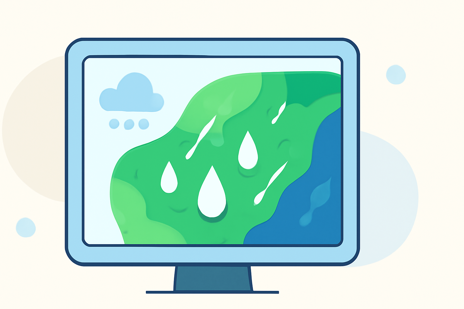
Rain maps are essential tools for visualizing precipitation patterns, helping you stay informed about current and upcoming weather conditions. This guide will introduce you to the basics of reading rain maps and demonstrate how Clime's user-friendly platform can enhance your weather tracking experience.
What Are Rain Maps?
Rain maps display precipitation data, illustrating where and how much rain is falling over a specific area. They use color gradients to represent varying intensities, allowing users to quickly assess weather conditions.
How to Read Rain Maps
-
Identify Color Codes: Colors on the map correspond to different rainfall intensities. Typically, lighter colors indicate light rain, while darker colors represent heavier rainfall.
-
Understand Time Frames: Rain maps often show data over specific periods, such as the past hour, 24 hours, or forecasted for the next few hours. This helps in planning activities and anticipating weather changes.
-
Recognize Patterns: Look for areas with consistent color patterns to identify storm systems or regions with prolonged rainfall.
Clime's Interactive Rain Maps
Clime offers an intuitive platform that simplifies the process of reading rain maps:
-
Real-Time Data: Access up-to-date precipitation information for your location and areas of interest.
-
Interactive Features: Zoom in and out, pan across regions, and adjust time frames to view past and forecasted rainfall.
-
User-Friendly Interface: Navigate through the platform effortlessly, making it accessible even for those new to weather tracking.
Practical Applications
Understanding rain maps is beneficial in various scenarios:
-
Outdoor Planning: Determine the best times for outdoor activities by checking upcoming rainfall.
-
Travel Arrangements: Plan routes and schedules by anticipating weather conditions along your journey.
-
Event Coordination: Ensure events are scheduled during favorable weather by monitoring precipitation forecasts.
Conclusion
Rain maps are invaluable tools for staying informed about weather conditions. By understanding how to read them and utilizing Clime's interactive features, you can make well-informed decisions and plan your activities accordingly.
For more detailed information on interpreting weather maps, consider exploring resources that explain the symbols and colors used in these maps.
Note: The above information is based on general knowledge and may not reflect the latest developments in weather mapping technologies.