
Understanding Rain Maps on Android: A Comprehensive Guide
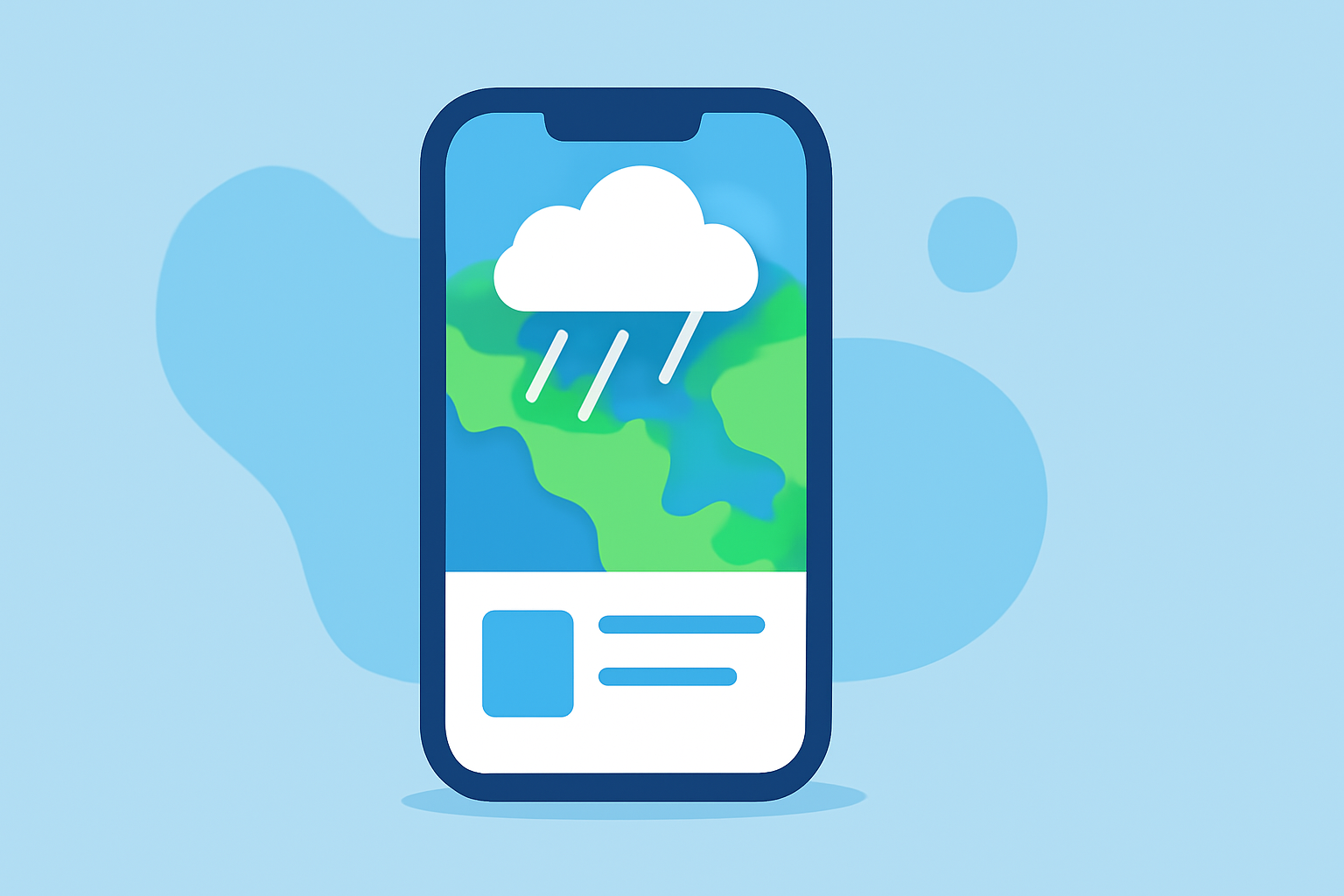
Rain maps on Android devices provide real-time visualizations of precipitation, helping users monitor weather conditions and plan activities accordingly. These maps display data such as rainfall intensity, storm movement, and forecasted precipitation, offering valuable insights into current and upcoming weather patterns.
What Are Rain Maps?
Rain maps are digital representations of precipitation data, typically sourced from weather radar systems. They illustrate the location, intensity, and movement of rain, snow, or other forms of precipitation over a specific area. By analyzing these maps, users can gain a clear understanding of weather conditions, enabling them to make informed decisions about travel, outdoor activities, and safety precautions.
How Do Rain Maps Work?
Rain maps function by processing data collected from weather radar stations. These radars emit signals that bounce off precipitation particles, returning information about their location and intensity. The data is then processed and visualized on a map, often using color gradients to indicate varying levels of precipitation. This visualization allows users to track storm movements, anticipate rainfall, and assess the severity of weather events.
Key Features of Rain Maps on Android
-
Real-Time Updates: Rain maps provide live updates, ensuring users receive the most current information about weather conditions.
-
Interactive Visualization: Users can zoom in and out, pan across regions, and view precipitation data in various formats, enhancing the understanding of weather patterns.
-
Forecast Integration: Many rain maps incorporate forecast data, allowing users to see predicted precipitation over the coming hours or days.
-
Alert Notifications: Some applications offer alert features, notifying users of significant weather changes, such as incoming storms or heavy rainfall.
Benefits of Using Rain Maps on Android
-
Enhanced Planning: By understanding upcoming weather conditions, users can plan outdoor activities, travel, and events more effectively.
-
Safety Precautions: Timely information about severe weather can help users take necessary precautions to protect themselves and their property.
-
Localized Information: Rain maps often provide hyper-local data, offering insights into weather conditions specific to a user's immediate area.
How to Access Rain Maps on Android
To access rain maps on your Android device, you can download specialized weather applications from the Google Play Store. These apps offer a range of features, including live radar maps, forecasts, and alerts. When selecting an app, consider factors such as user reviews, update frequency, and the specific features that align with your needs.
Tips for Using Rain Maps Effectively
-
Regular Monitoring: Check rain maps periodically to stay informed about changing weather conditions, especially during seasons prone to rapid weather shifts.
-
Customize Alerts: Set up personalized alerts to receive notifications about specific weather events, such as heavy rainfall or severe storms.
-
Cross-Reference Sources: Use multiple sources to verify weather information, as different apps may interpret radar data differently.
-
Understand Limitations: Recognize that while rain maps provide valuable insights, they may not always predict weather conditions with complete accuracy.
Conclusion
Rain maps on Android devices are powerful tools that offer real-time insights into precipitation patterns, aiding users in making informed decisions about their daily activities and safety measures. By understanding how these maps work and utilizing their features effectively, you can stay ahead of changing weather conditions and plan accordingly.