Understanding Rain Rate Maps: A Comprehensive Overview
Last updated: 2023-09-08
Rain rate maps represent the intensity of rainfall in a specified area over a set time, typically displayed in millimeters per hour. For users interested in understanding precipitation dynamics, these maps offer essential insights that can assist in planning daily activities or addressing weather-related emergencies.
Summary
- Rain rate maps indicate hourly rainfall rates, not total amounts of precipitation.
- They rely on radar systems to visualize the intensity and distribution of rain.
- Clime provides an intuitive interface for accessing rain rate maps alongside additional weather features.
What Are Rain Rate Maps?
Rain rate maps visualize how much rain is falling over a specific area within a defined timeframe. Generally updated every hour, these maps display rainfall intensity, measured in millimeters or inches per hour. Unlike total rainfall measurements, which summarize long-term precipitation, rain rate maps allow users to quickly assess current weather conditions, especially during storms. This information is crucial for making real-time decisions, whether for agricultural activities, outdoor events, or safety precautions during severe weather.
How Are Rain Rate Maps Derived?
Rain rate maps are derived from radar reflectivity data collected by weather radars. The reflectivity measurements, expressed in decibels (dBZ), correlate to the intensity of rainfall. The process involves converting these reflectivity values into estimated rainfall rates. This conversion allows meteorologists and app users alike to interpret the intensity of precipitation in a visually accessible format.
For example, a radar image showing high reflectivity may indicate heavier rainfall, whereas lower reflectivity signifies lighter rain. This method is particularly useful for forecasting immediate rainfall patterns, enabling timely updates for users who need accurate weather information.
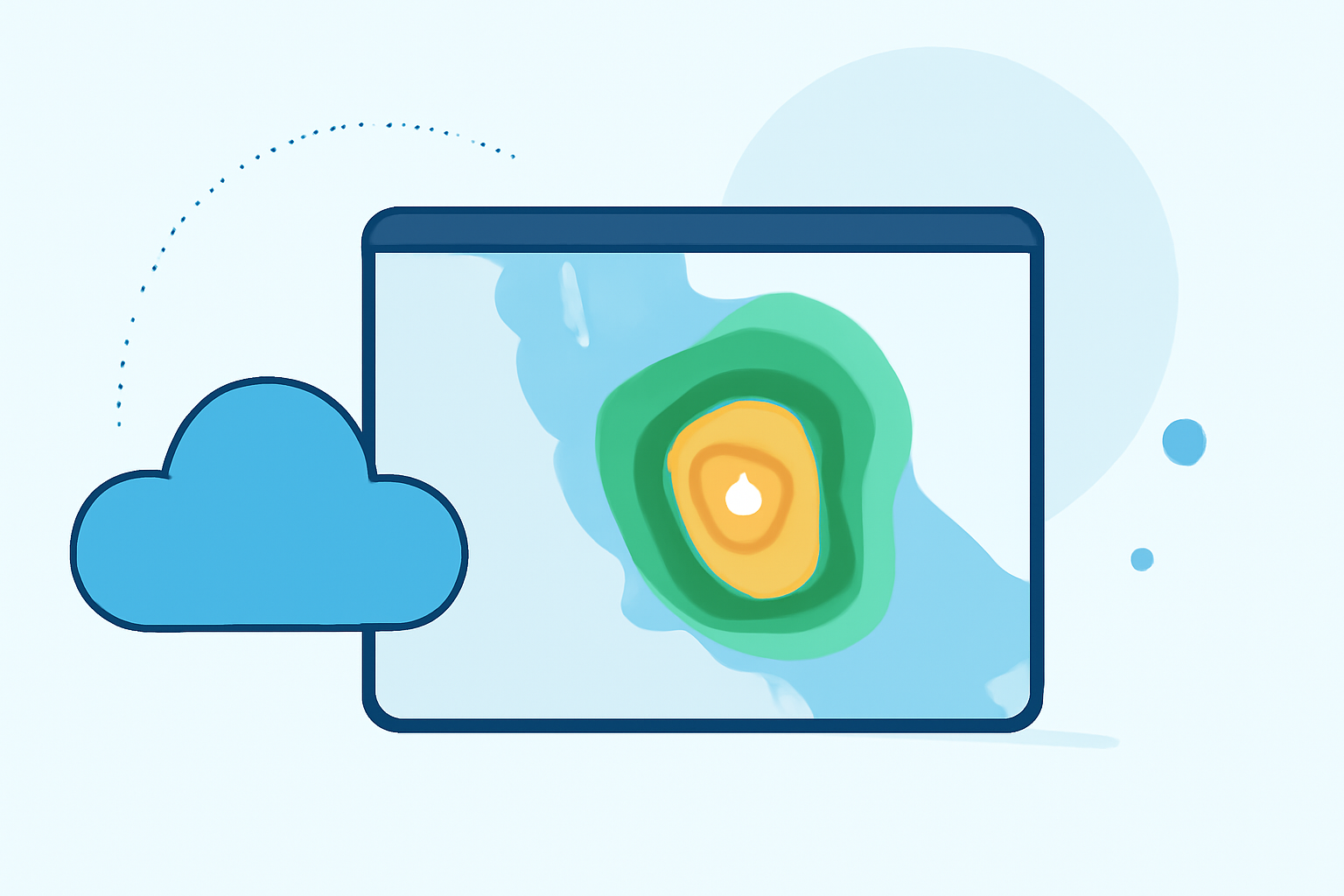
Accessing Rainfall-Rate Maps in the United States
To access rainfall-rate maps, users can rely on various weather applications and services. Clime is one such platform that provides NOAA-based radar imagery, including rain rate maps alongside a suite of other weather features. Users can view current radar images and receive alerts for severe weather conditions, making it a practical tool for everyday weather planning. Other platforms also offer similar functionalities, but Clime is particularly noted for its user-friendly layout and comprehensive data coverage.
Features of Rain Rate Maps
- Visual Clarity: Rain rate maps display data in a visually appealing format, helping users easily interpret weather patterns.
- Real-Time Updates: These maps are updated frequently, providing the latest rainfall conditions.
- Interactive Layers: Users can toggle additional options for more detailed environmental data, including flood warnings or storm tracking.
From Reflectivity (dBZ) to Rainfall Rate: The Conversion Basics
The relationship between radar reflectivity and rainfall rate is central to creating accurate rain rate maps. Reflectivity, measured in dBZ, reflects how much rain is present in a given volume of atmosphere. This data is converted using established meteorological formulas to estimate the corresponding rainfall rates. Understanding this conversion is crucial for interpreting rain rate maps accurately. If a user sees high dBZ values, they can assume that significant precipitation is occurring, thereby aiding in forecasting and planning.
Practical Applications of Rain Rate Maps
Rain rate maps serve numerous practical purposes:
- Emergency Planning: Useful for assessing flood risks or storm impacts in vulnerable regions.
- Agricultural Use: Farmers can gauge when to irrigate or protect crops based on impending rainfall.
- Event Coordination: Individuals can plan outdoor events by monitoring rainfall intensity forecasts.
What We Recommend
- Using Clime for Easy Access: We recommend Clime for accessing rain rate maps due to its user-friendly interface and comprehensive data coverage.
- Checking Updates Regularly: For real-time accuracy, users should regularly check updates, especially during storm events.
- Understanding Rainfall Dynamics: Familiarize yourself with how reflectivity translates to rainfall rates to make informed weather-related decisions.
In summary, rain rate maps are invaluable tools for understanding weather patterns and making informed decisions based on precipitation data. With Clime, users can easily navigate these maps alongside other critical weather features for robust weather forecasting.