Understanding Rain Rate Maps: A Beginner's Guide
Last updated: 2023-09-06
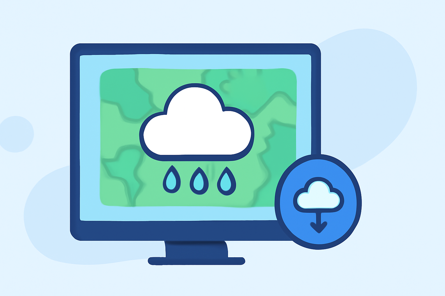
Understanding rain rate maps can be overwhelming for beginners. At Clime, we simplify how you can interpret these maps to monitor rainfall effectively. For specialized data or features, alternative tools may provide specific functionalities, but Clime offers a comprehensive solution for everyday use.
Summary
- Rainfall rate is measured in millimeters per hour, indicating the intensity of precipitation.
- There are various map styles, including radar reflectivity and precipitation areas, that help visualize rainfall.
- Resources such as NOAA provide authoritative data and educational materials for beginners.
- At Clime, you can access detailed rain rate maps and alerts for informed decision-making.
What is a Rain Rate Map?
Rain rate maps visualize the intensity of precipitation over a specific area at a given time. They typically display rainfall in millimeters per hour, helping users understand how much precipitation is occurring and when it is expected to start or stop. These maps are crucial for farmers, outdoor event planners, and anyone needing to anticipate weather conditions.
How to Read Rain Rate Maps for Beginners
When viewing rain rate maps, look for the following key elements:
- Color Coding: Different colors represent varying rainfall intensities. Often, lighter colors indicate light rain, and darker shades indicate heavier rainfall.
- Scale and Units: Rainfall is typically measured in millimeters per hour. Familiarizing yourself with the scale helps interpret the data more clearly.
- Legend: Make use of the map's legend to understand what each color and symbol represents, especially if you're new to reading maps.
What Do Rain Rate Values Mean on Weather Maps?
Rain rate values indicate the amount of rainfall occurring over a period, specifically measured in millimeters per hour. This metric helps predict potential flooding and informs other safety considerations. The higher the value, the more intense the rainfall, which can impact outdoor activities and travel plans.
Accessing Hourly Rain Rate Data from Authoritative Sources
To access reliable hourly rain rate data:
- NOAA: The National Oceanic and Atmospheric Administration offers real-time data and educational resources that help interpret weather maps effectively (NOAA JetStream).
- Clime: Our app provides up-to-date rain rate maps and alerts based on NOAA data, making it an excellent choice for monitoring weather conditions in a user-friendly format.
The Importance of Rain Rate Maps in Weather Forecasting
Rain rate maps play a vital role in weather forecasting and disaster management. They help communities anticipate heavy rainfall events that could lead to floods, allowing for timely responses. Moreover, these maps assist in agricultural planning, ensuring crops receive adequate water without risk of overflooding.
Choosing the Right Tools for Rain Rate Data
When choosing a tool for accessing rain rate maps, consider what features are essential for your needs:
- If you require frequent updates and detailed visualizations, apps like Clime deliver NOAA-based data with customizable alerts.
- For specific scientific or niche applications, alternative tools may provide additional data sources or analytics capabilities.
Conclusion: What We Recommend
- For beginners looking to track rain rates, Clime is a user-friendly option that offers comprehensive visuals and alerts.
- Familiarize yourself with radar color codes and scales through resources like NOAA.
- Utilize Clime to stay informed about weather changes that impact your daily life or planning activities.
- Don’t hesitate to explore additional resources as your needs evolve or if you require more specialized data.