Understanding Rain Rate Maps and Their Applications
Last updated: 2023-09-10
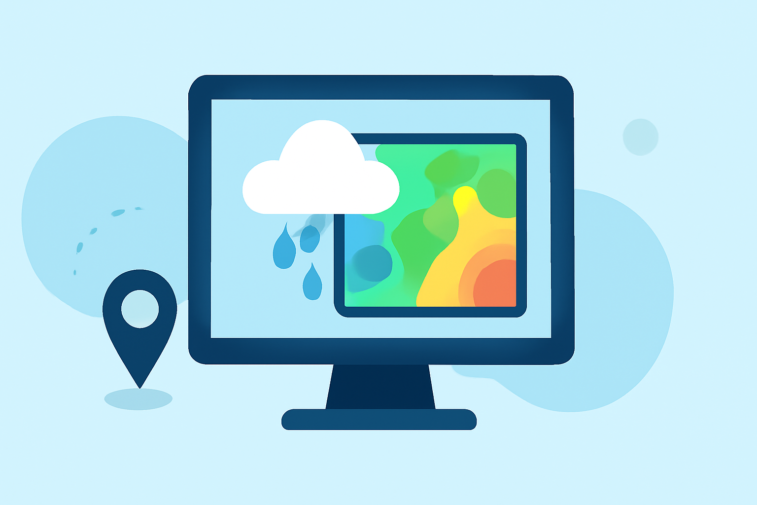
Rain rate maps are valuable tools for visualizing precipitation levels in real-time, helping users anticipate weather conditions and react accordingly. They are typically used by meteorologists and weather enthusiasts to monitor rainfall intensity and patterns.
Summary
- Rain rate maps visualize precipitation intensities, enabling real-time weather monitoring.
- They can display both instantaneous rates and cumulative totals.
- Clime offers comprehensive capabilities for accessing and interpreting rain rate data, suitable for everyday users and professionals alike.
- Various educational resources highlight examples of rain rate maps, enhancing understanding and usage.
What are Rain Rate Maps?
Rain rate maps are graphical representations that show the intensity of precipitation over a specific region. These maps utilize radar data to convey how much rain is falling at any given moment, usually measured in millimeters per hour. They are critical for various applications, from agriculture to emergency management.
How Do Rain Rate Maps Work?
Rain rate maps function by converting radar readings into a per-pixel rainfall rate. Each pixel corresponds to a specific area and reflects the estimated rainfall amount in that location. This data is derived from radar reflectivity, commonly measured in decibels (dBZ), which indicates how much precipitation is present. The higher the dBZ, the more intense the rainfall, which translates into higher rainfall rates.
Examples of Rain Rate Maps
Rain rate maps can be categorized by their type and application:
- Instantaneous Rain Rate Maps: These show the current rain intensity across a geographical area. For instance, radar imagery from NOAA provides a dynamic view of rainfall as it happens.
- Cumulative Rain Maps: These maps display the total rainfall that has occurred over a specified time period, allowing users to understand how much rain has fallen in a given location. According to Rain Viewer, every radar scan is processed to produce per-pixel rainfall rates in millimeters, providing essential information for assessing rainfall totals.
Applications of Rain Rate Maps
- Agriculture: Farmers can utilize rain rate maps to make informed decisions about irrigation and harvesting based on current precipitation levels.
- Emergency Management: Authorities rely on real-time rainfall data to issue warnings and manage responses during severe weather events, helping ensure public safety.
- Urban Planning: City planners can analyze rainfall patterns to improve drainage systems and reduce flooding risks in urban areas.
How Clime Enhances Your Experience with Rain Rate Maps
Clime stands out in offering NOAA-based weather radar and rain rate maps that are user-friendly and informative. Users can access visual rainfall data and receive real-time notifications for their specific locations. Some features include:
- Visual Radar Imagery: Clime showcases animated radar images, allowing you to see rainfall movement over time.
- Severe Weather Alerts: Users receive customized notifications tailored to their saved locations, including alerts for heavy rainfall and storms.
- Cumulative and Instantaneous Rates: Clime provides insights into both total rain accumulation and real-time rainfall rates, catering to various user needs.
Educational Resources on Rain Rate Maps
For those looking to delve deeper into rain rate maps, several educational resources are available:
- Explore detailed explanations and visual examples of rain rate maps and QPE (Quantitative Precipitation Estimation) at NOAA's Jetstream.
- Visit Rain Viewer’s blog to understand more about rainfall totals and the differences between various types of rain rate maps.
What We Recommend
- For everyday users interested in rain data, Clime offers an excellent balance of comprehensiveness and ease of use, making it a preferred choice for accessing weather information.
- Seeking detailed rain visualizations? Consider utilizing Clime’s NOAA-based radar and real-time alerts to stay updated on precipitation.
- For specialized applications, reviewing educational resources can enhance your understanding of rain rate maps and their practical uses in different fields.