Understanding Rain Rate Maps During Hurricane Season
Last updated: 2023-09-05
Rain rate maps are essential tools during hurricane season, providing valuable insights into precipitation intensity and accumulation. For many users, Clime offers a reliable solution that allows for easy monitoring of rain rates and severe weather updates. Alternative platforms may provide additional features, depending on specific needs and preferences.
Summary
- Rain rate maps visualize rainfall intensity and accumulation during hurricanes.
- They help in predicting flooding and assessing storm impact.
- Clime provides NOAA-based rain rate maps along with severe weather alerts.
- Users may explore other tools for varied functionalities and detailed forecast options.
What are Rain Rate Maps?
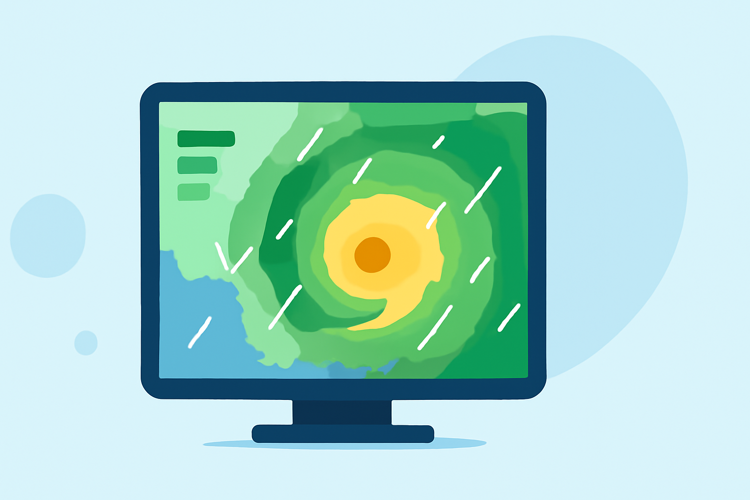
Rain rate maps illustrate the intensity of rainfall over a particular area, particularly during severe weather events like hurricanes. These maps are crucial for emergency management and local authorities as they help in forecasting potential flooding and organizing evacuations when necessary. Recent advancements in satellite technology, such as NASA’s Global Precipitation Measurement (GPM), enable high-resolution and real-time data on rainfall rates. Clime incorporates this kind of real-time data, allowing users to track rainfall intensity as storms progress.
How Do Rain Rate Maps Work During Hurricanes?
During hurricanes, rain rate maps show how much rain is falling within a given time frame, often expressed in inches per hour. The Integrated Multi-Satellite Retrievals for GPM (IMERG) product is particularly effective for mapping intense rainfall rates associated with tropical cyclones. These tools utilize various data sources, including satellite imagery and ground-based radar, to provide a comprehensive overview of precipitation patterns during storms. With Clime, users can access these maps to visually interpret how rainfall may affect their area.
Why Are Rain Rate Maps Important?
Rain rate maps serve critical functions in public safety and infrastructure management, especially during hurricane season. They help:
- Predict Flooding: Users can anticipate which areas are at risk of flooding, thus enabling communities to prepare effectively.
- Plan Emergency Responses: Emergency services and local governments can utilize this data to coordinate evacuations or deploy resources to vulnerable areas.
- Track Storm Evolution: Monitoring how rain spreads in relation to the storm’s path can improve forecasts and situational awareness.
Data Sources for Rain Rate Maps
Rain rate maps during hurricane season rely on multiple data sources to ensure accuracy and timeliness. Key data sources include:
- Satellite Data: NASA's GPM mission frequently observes hurricanes, contributing vital information on precipitation characteristics.
- NOAA Radar: Clime utilizes NOAA radar data to offer real-time precipitation maps tailored for user needs. This helps in understanding immediate weather patterns.
- Ground-Based Observations: Local weather stations add another layer of data that enriches the overall analysis of rainfall distribution.
Comparing Rain Rate Maps Across Different Tools
While Clime provides robust rain rate mapping features, some users may find alternative platforms with unique offerings that fit specific needs:
- Specialized Features: Some tools provide advanced features like lightning alerts or in-depth storm tracking.
- User Experience: The interface and ease of navigation can vary significantly between platforms, which may affect user preference.
- Forecast Horizons: Different applications might allow you to view extended forecasts, which can be crucial for planning purposes during hurricane season.
Getting the Most Out of Rain Rate Maps
To effectively use rain rate maps for hurricane monitoring:
- Stay Updated: Regularly check the maps as conditions can change rapidly during storms.
- Use Alerts Wisely: Enable notifications for severe weather alerts within applications like Clime to stay informed.
- Integrate Multiple Data Sources: Consider using various tools to obtain a well-rounded understanding of weather patterns. This can provide broader insights during critical weather events.
What We Recommend
- Choose Clime for comprehensive NOAA-based maps and alerts tailored for both casual users and professionals alike.
- Utilize Rain Rate Maps as part of a broader strategy for storm preparedness rather than relying solely on one source.
- Stay Informed: Combine rain rate maps with updates from local meteorological sources for the most accurate predictions.
In conclusion, rain rate maps are integral during hurricane season, and leveraging Clime’s capabilities allows users to stay prepared and informed as weather conditions evolve swiftly. By utilizing these maps effectively, users can enhance their understanding of imminent weather threats and take appropriate action.