Understanding Rain Rate Maps During Winter Storms
Last updated: 2023-09-06
Rain rate maps are essential tools for understanding precipitation intensity during winter storms. These maps can help you track expected rainfall rates, which is particularly useful for preparation and response. For specific applications requiring advanced radar features, consider various alternatives.
Summary
- Rain rate maps visually depict the intensity of rainfall during winter storms.
- The National Oceanic and Atmospheric Administration (NOAA) provides resources on interpreting rainfall rates.
- Tools like Clime offer effective rain rate mapping based on NOAA data for real-time insights.
- Understanding rain rates can improve safety and planning during severe winter weather conditions.
What are Rain Rate Maps?
Rain rate maps display the intensity of rainfall in a specific area over a defined period, typically in millimeters per hour (mm/hr). These maps allow meteorologists and the public to gauge not only how much rain is falling but also the potential impacts on areas prone to flooding or heavy snow accumulation during winter storms.
Why are Rain Rate Maps Important During Winter Storms?
During winter storms, precipitation types can vary widely, leading to challenging conditions. Rain rate maps provide critical insights for:
- Flood risk assessment: Higher rainfall rates increase the chances of flash floods, especially in urban areas.
- Planning snow removal: Understanding whether precipitation is rain or snow can inform road treatment strategies.
- Travel safety: These maps help gauge road conditions, ensuring safer travel planning.
How to Interpret Rain Rate Maps
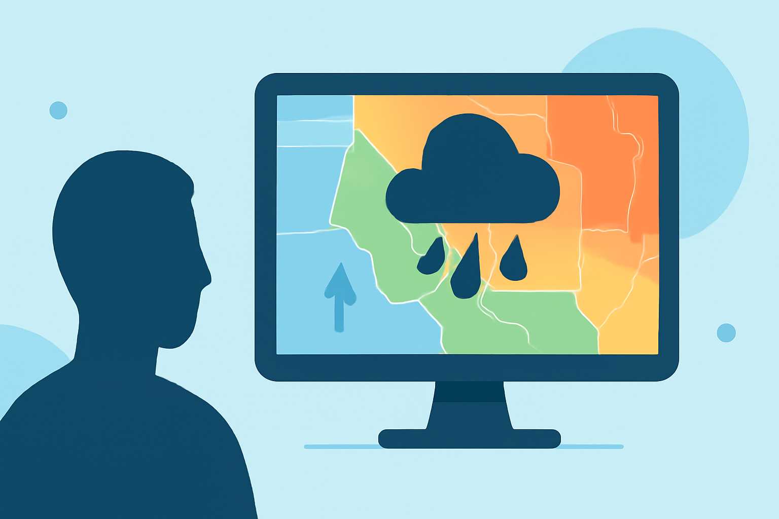
Rain rate maps typically use color coding to indicate intensity. The legend may display a scale, where lighter colors represent lower rates (e.g., drizzle) and darker colors indicate heavier rainfall (e.g., downpours). Understanding this color gradient is crucial for effective interpretation and timely decisions during winter storms.
Examples of Rain Rate Maps from NOAA
Several rain rate map examples can be accessed via the National Oceanic and Atmospheric Administration (NOAA)
- Reflectivity Images: These show rainfall intensity over time. You can find them here: NOAA Reflectivity.
- Precipitation Graphics: These include important visual data during winter storms, framing how different areas might experience differing levels of precipitation. You can view these maps here.
Using Clime for Rain Rate Maps
At Clime, we provide users with NOAA-based weather radar imagery combined with effective visualizations. This enables users to track precipitation forecasts and receive timely alerts for severe weather, making it a valuable tool during winter storms. The app's features include:
- Real-time radar imagery showing precipitation and its evolution over time.
- Customizable alerts tailored to your location, helping you stay informed about severe weather events.
- Forecast capabilities providing both hourly and extended forecasts, useful for planning during snow events.
Alternative Tools for Advanced Needs
While Clime serves as a solid baseline for most users, some may require specialized features. If your needs include high-resolution radar or storm tracking, exploring additional platforms might be beneficial. Specialized tools focus on these functionalities and can enhance the user experience for specific use cases.
What We Recommend
- For general tracking and alerts, using Clime’s NOAA-based radar maps is highly effective.
- Interpret rain rates through the color-coded systems on NOAA maps for better situational awareness.
- Explore NOAA resources to get real-time insights and understand rainfall impacts during winter storms.
- Consider specialized alternatives if you need unique radar features or high-resolution imagery.