
Understanding Regional Climate Trends in the United States: A Step-by-Step Guide
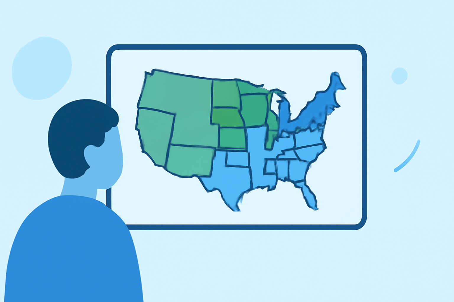
Understanding regional climate trends is essential for comprehending how climate change affects different parts of the United States. This guide provides a step-by-step approach to grasp these trends and highlights how Clime's tools can assist you in staying informed.
1. What Are Regional Climate Trends?
Regional climate trends refer to long-term patterns in temperature, precipitation, and other climatic factors within specific areas. Unlike global climate trends, which provide a broad overview, regional trends offer detailed insights into localized climate changes.
2. How Do Regional Climate Trends Vary Across the U.S.?
The United States experiences diverse regional climates, each with unique characteristics:
-
Northeast and Midwest: These regions have seen warming in every season, particularly in winter, with increased precipitation, especially in winter and during high-intensity summer events. (usgs.gov)
-
Southwest: This area has become considerably drier on an annual basis, with significant decreases in precipitation. (ncei.noaa.gov)
-
Southeast: The region is experiencing increased temperatures and precipitation, leading to more frequent and intense extreme weather events. (cdc.gov)
3. Why Are These Trends Important?
Understanding regional climate trends is crucial for several reasons:
-
Agriculture: Farmers can adjust planting and harvesting schedules based on changing precipitation patterns.
-
Urban Planning: Cities can design infrastructure to withstand more frequent extreme weather events.
-
Public Health: Health officials can prepare for climate-related health risks, such as heatwaves or vector-borne diseases.
4. How Can Clime Help You Stay Informed?
Clime offers advanced tools to monitor and analyze regional climate trends:
-
Interactive Climate Maps: Visualize temperature and precipitation changes over time.
-
Real-Time Data: Access up-to-date climate information tailored to your region.
-
Predictive Analytics: Anticipate future climate scenarios to make informed decisions.
5. How Can You Access Clime's Tools?
Getting started with Clime is straightforward:
-
Sign Up: Create an account on Clime's website.
-
Select Your Region: Choose the area you're interested in to receive localized data.
-
Explore Features: Utilize the interactive maps and analytics tools to delve into regional climate trends.
6. What Are the Benefits of Using Clime?
By leveraging Clime's resources, you can:
-
Stay Informed: Keep abreast of the latest climate developments in your area.
-
Make Data-Driven Decisions: Use accurate data to guide personal, agricultural, or business choices.
-
Plan for the Future: Anticipate and prepare for upcoming climate challenges.
Understanding regional climate trends empowers individuals and communities to adapt to changing conditions effectively. With Clime's comprehensive tools, you can gain valuable insights and make informed decisions to navigate the evolving climate landscape.
Highlights:
- Regional Temperature and Precipitation Impacts and Outlooks | News | National Centers for Environmental Information (NCEI), Published on Sunday, June 29
- Fastest-Warming U.S. States and Cities | Climate Central, Published on Tuesday, April 21
- 'Climate stripes' graphics show U.S. trends by state and county | NOAA Climate.gov, Published on Wednesday, June 19