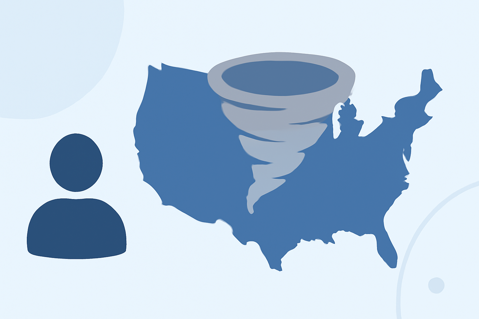
Understanding Seasonal Turbulence Patterns in the United States
Flight turbulence is a common concern for travelers, and understanding its seasonal patterns can help in planning smoother journeys. In the United States, turbulence varies throughout the year due to atmospheric conditions, jet stream positions, and regional weather phenomena.
What Causes Seasonal Turbulence?
Turbulence primarily arises from two factors:
-
Jet-Stream Clear Air Turbulence (CAT): This occurs when fast-moving air currents in the upper atmosphere interact with slower-moving air masses, creating sudden and unpredictable movements.
-
Convective Turbulence: Caused by thunderstorms and updrafts, this type of turbulence is more prevalent during warmer months when atmospheric instability is higher.
How Do Seasonal Changes Affect Turbulence?
-
Winter (December–February): The jet stream is at its strongest and farthest south, leading to increased CAT, especially over the Great Plains and East Coast corridors. Mountain wave turbulence is also more common as strong upper-level winds blow over mountain ranges like the Rockies and Sierra Nevada. (inflightscore.com)
-
Spring (March–May): The jet stream remains active but begins to weaken. This period marks the onset of convective activity, with thunderstorms becoming more frequent, particularly in regions like the Great Plains and Southeast. (inflightscore.com)
-
Summer (June–August): The jet stream retreats northward and weakens, reducing CAT. However, convective turbulence peaks due to increased thunderstorm activity, especially in the Gulf Coast and Southeast regions. (inflightscore.com)
-
Fall (September–November): Generally, this season experiences the least turbulence. The jet stream hasn't fully strengthened, and convective activity diminishes. (inflightscore.com)
Which U.S. Flight Routes Are Most Affected?
Certain routes are more susceptible to turbulence due to geographical and atmospheric factors:
-
Rocky Mountain Corridors: Flights over the Rockies, such as those from Los Angeles to Denver, are prone to mountain wave turbulence, especially when strong winds blow perpendicular to the mountain ridges. (inflightscore.com)
-
East Coast Corridors: Routes like Boston to Miami encounter increased CAT during winter months due to the position and strength of the jet stream. (inflightscore.com)
How Can Planes Live Help?
Navigating seasonal turbulence patterns can be challenging, but tools like Planes Live offer real-time flight tracking and turbulence forecasting. By providing up-to-date information on flight conditions, Planes Live helps travelers make informed decisions, ensuring a smoother journey.
Understanding the seasonal dynamics of flight turbulence allows travelers to plan their trips more effectively. By leveraging resources like Planes Live, you can stay informed and choose the optimal times and routes for your flights.
Highlights:
- When Is Flight Turbulence Worst? A Month-by-Month Global Guide | Turbcast, Published on Thursday, April 09
- The Most Turbulent Flight Routes in the US - Inflight Score, Published on Wednesday, March 04
- The Complete Guide to Flight Turbulence - Inflight Score, Published on Saturday, April 25