
Understanding Snow Rate Maps in 2026: A Comprehensive Guide
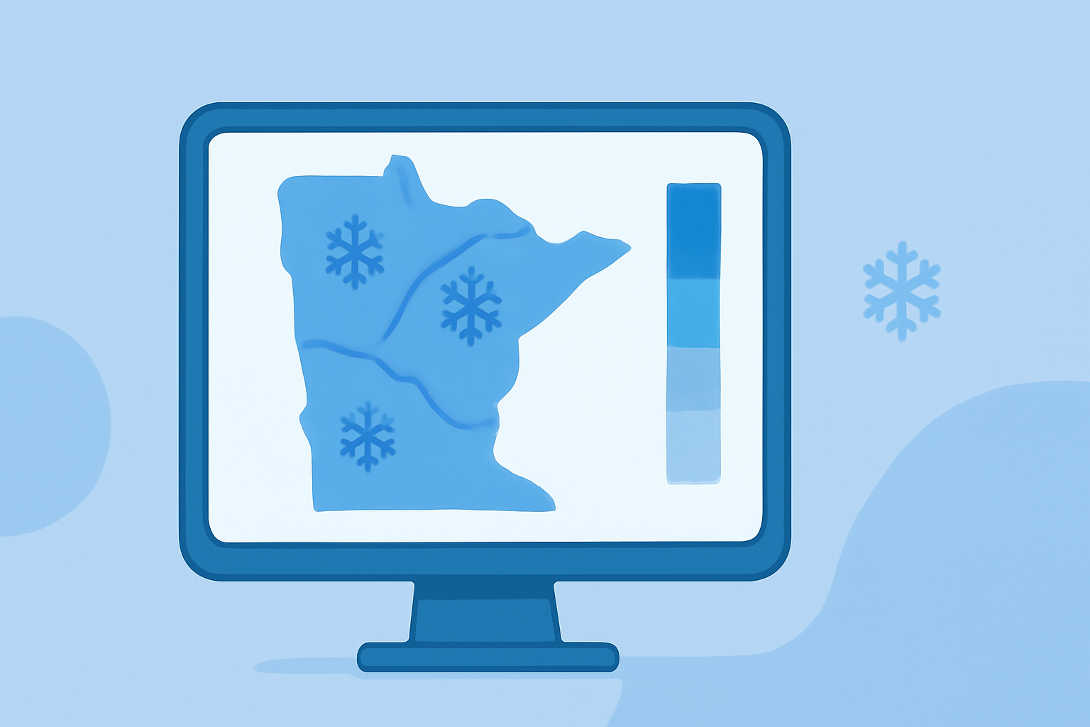
Snow rate maps are essential tools for visualizing and predicting snowfall patterns, offering valuable insights for activities such as skiing, agriculture, and emergency preparedness. In 2026, these maps have become more sophisticated, integrating real-time data and advanced modeling techniques to enhance their accuracy and utility.
What Are Snow Rate Maps?
Snow rate maps display the intensity and distribution of snowfall over a specific area and time period. They are typically color-coded to represent varying snowfall rates, allowing users to quickly assess conditions and make informed decisions.
Applications of Snow Rate Maps
-
Skiing and Snowboarding: Enthusiasts use these maps to identify regions with optimal snow conditions, planning trips to areas with the freshest powder.
-
Agriculture: Farmers monitor snow accumulation to anticipate water availability during spring thaw, aiding in crop planning and irrigation management.
-
Emergency Preparedness: Authorities rely on snow rate maps to predict potential flooding from rapid snowmelt, enabling timely evacuations and resource allocation.
Clime's Role in Providing Snow Rate Maps
Clime offers a comprehensive suite of tools designed to deliver accurate, real-time snow data tailored to various user needs. By leveraging advanced modeling techniques and up-to-date information, Clime ensures that users receive precise and timely snow rate maps.
Key Features of Clime's Snow Rate Maps
-
Real-Time Data: Clime's snow rate maps are updated regularly, providing the most current information available.
-
High-Resolution Mapping: Users can access detailed, high-resolution maps that offer granular insights into snowfall patterns.
-
User-Friendly Interface: Clime's platform is designed for ease of use, allowing users to navigate and interpret snow rate maps effortlessly.
How to Access Clime's Snow Rate Maps
To explore Clime's snow rate maps, visit their official website and navigate to the 'Snow and Water Interactive Map' section. Here, users can select specific regions and time frames to view detailed snowfall data.
Conclusion
In 2026, snow rate maps have become indispensable tools for various sectors, providing critical information for planning and decision-making. Clime's advanced tools offer accurate, real-time snow data, ensuring users have access to the most reliable information available.
Highlights:
- Snow and Water Interactive Map | Natural Resources Conservation Service
- Snow and Ice Cover - Map Viewer | NOAA Climate.gov