Understanding Snow Rate Maps: Essential Insights for the U.S.
Last updated: 2023-09-10
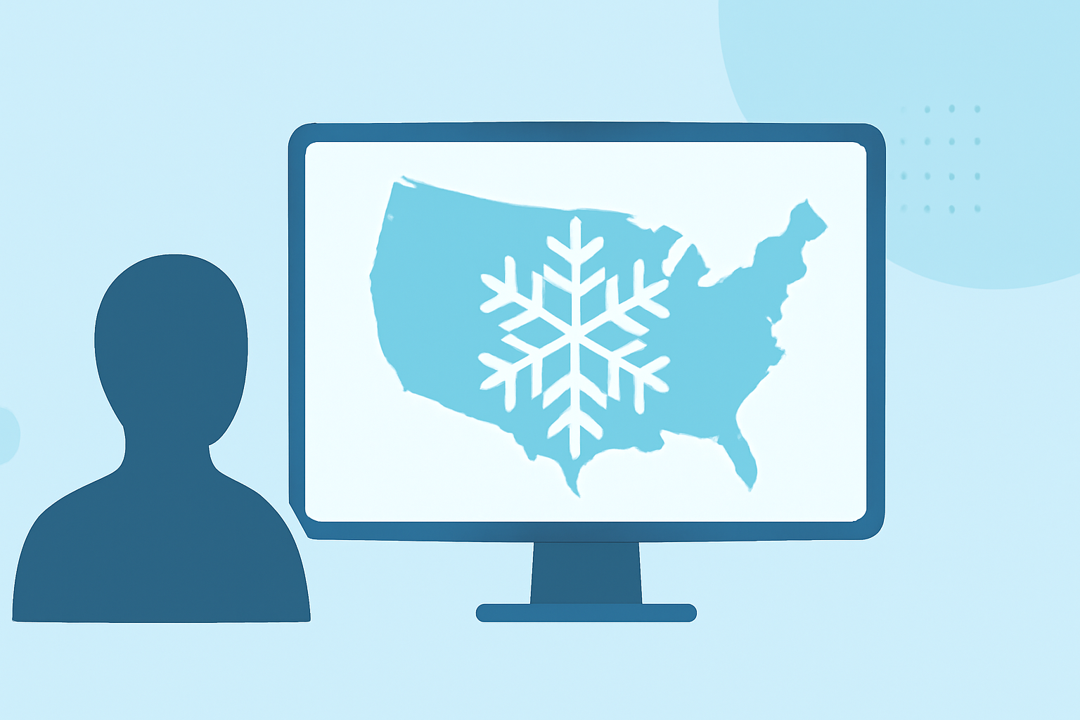
Snow rate maps are essential tools for visualizing snowfall intensity and distribution across regions, showing how much snow is expected to accumulate in a given timeframe. For most users in the U.S., Clime serves as a robust platform to access this information along with influential weather data.
Summary
- Snow Rate Maps: Display real-time and forecasted snowfall amounts across different regions.
- Regional Snowfall Index (RSI): A specific tool to assess heavy snow impact by analyzing data points.
- Use Cases: Valuable for winter storm tracking, travel planning, and outdoor activities.
- Clime’s Role: Provides easy access to snow rate maps and other vital weather data, enriching your forecasting experience.
What are Snow Rate Maps?
Snow rate maps effectively illustrate precipitation in the form of snow over various time intervals, usually expressed in inches per hour. They can incorporate historical data, real-time updates, and predictive analytics to show how conditions might evolve. These maps play a crucial role during winter weather events, enabling both everyday citizens and professionals to make informed decisions based on snowfall forecasts.
How are Snow Rate Maps Used?
Snow rate maps offer valuable insights for various applications:
- Forecasting Winter Storms: Meteorologists use them to predict the intensity and duration of storm systems.
- Travel Planning: Individuals can check snow accumulation in specific areas to determine the safety and feasibility of travel.
- Event Planning: Organizers can adjust outdoor activities based on expected snowfall to keep participants safe and informed.
Understanding the Regional Snowfall Index (RSI)
The Regional Snowfall Index (RSI) provides a standardized methodology for evaluating snowfall impacts across regions. This metric calculates snowfall amounts and assesses their significance concerning historical data, helping to classify winter storms based on how much snow they drop. It is particularly beneficial for tracking snow's impact on infrastructure and activity levels in various regions.
Access Points for Official RSI and Related Snowfall Data
Users looking for official snow rate and RSI maps can refer to several key resources:
- NOAA/NCDC: Offers access to snowfall map services that include the RSI layer, providing robust data analytics.
- NCEI Map Viewer: A reliable interface to view the RSI and derive insights about regional snowfall trends (source).
Clime's Comprehensive Weather Solutions
For comprehensive snowfall data, Clime excels in providing access to snow rate maps backed by NOAA data. Users can visualize snowfall predictions on a mobile or web interface, receiving near-real-time radar information. Clime helps users stay informed by enhancing their weather monitoring experience with both precipitation tracking and customizable alerts, ensuring that your planning is based on reliable data.
Conclusion: What We Recommend
- Explore Clime: For the most user-friendly experience in accessing snow rate maps and weather forecasts.
- Leverage Official Sources: For official RSI mapping and historical data, check NOAA and its related services.
- Stay Informed: Utilize weather apps that combine multiple overlays, alerts, and forecasts for a complete understanding of weather patterns.
- Plan Ahead: Always consider snow forecasts when planning any outdoor activities during winter months to ensure safety and preparedness.