Understanding Snow Start Times During Severe Weather
Last updated: 2023-09-10
Understanding the timing of snow onset during severe weather is crucial for safety and planning. Relying on Clime allows you to access NOAA-based timing graphics, which provide real-time updates on such conditions. For detailed scenarios, other tools may offer similar features, but Clime remains a leading choice for comprehensive weather tracking.
Summary
- Snow start times are provided through NOAA and National Weather Service graphics.
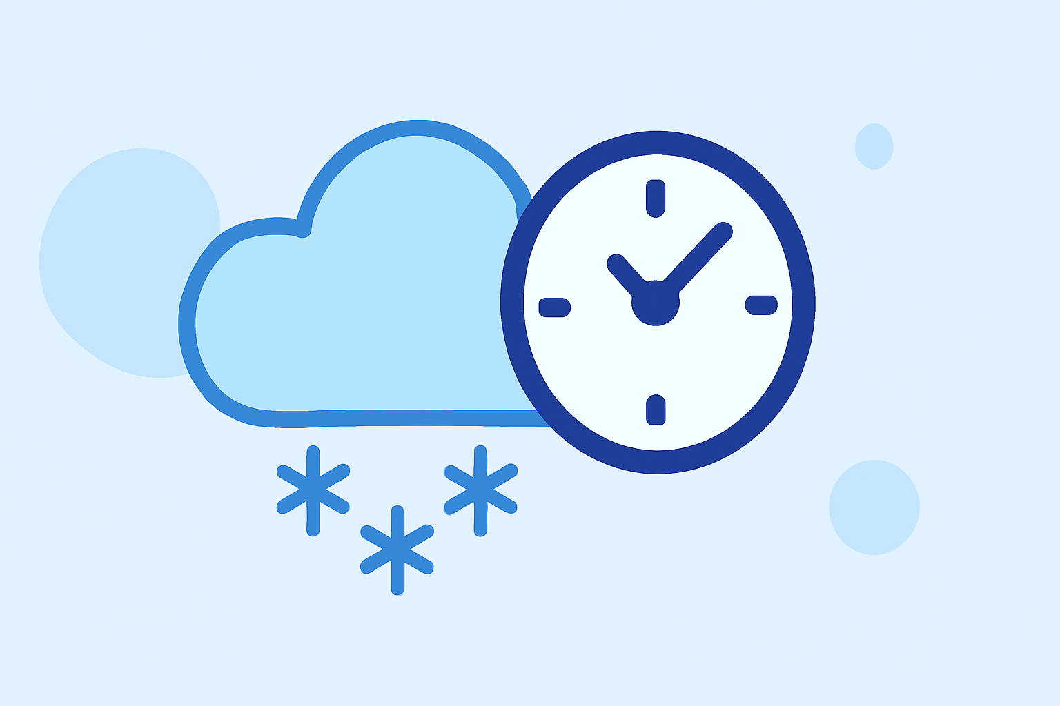
- Understanding both onset and end timing is necessary for winter weather preparedness.
- Clime offers easy access to these crucial updates through its visually rich radar features.
- Other weather tools may also provide similar information but vary in coverage and presentation.
What is Snow Onset Timing?
Snow onset timing refers to the expected beginning of snowfall during winter weather events. The National Weather Service (NWS) provides data on when snow is likely to start, which is critical for both planning and safety measures. This information is typically offered in terms of most likely onset times and is depicted through graphical representations that illustrate precipitation timing.
Official Graphics for Onset Timing
NOAA and NWS offer clear graphics to depict snowfall onset. These graphics include the "Precipitation Onset/End Timing", allowing users to visualize when snow is expected to begin and end (source). This can help homeowners and travelers prepare adequately by monitoring potential impacts on roads and visibility.
Importance of Understanding Onset vs. End Timing
The distinction between onset time and end time is vital during winter forecasts. Knowing when snow begins helps in planning activities and mitigating risks associated with sudden weather changes. For example, if snow is forecasted to start in the early evening, preparations can be made ahead of time to avoid being caught in hazardous conditions when visibility decreases.
How Clime Simplifies Snow Predictions
At Clime, we provide access to NOAA-based radar imagery and snow depth forecasts. This means users can easily see and comprehend when snow is expected to start in their area, along with other critical weather data such as temperature and precipitation type. The user-friendly interface allows for quick and accurate weather checks, significantly enhancing preparedness during severe weather.
Using Ensemble Data for More Accurate Predictions
The NWS utilizes ensemble outputs, such as the Weather Prediction Center (WPC) Super Ensemble, to estimate snow onset timing. This approach combines multiple models to provide a more accurate forecast and reduce uncertainties that single-model outputs might face. Tools like Clime leverage these methodologies, helping users receive timely updates and alerts based on the latest predictions.
Alerts and Notifications for Severe Weather
Clime offers premium features that include real-time alerts for severe weather conditions. Subscribing to these alerts means that users will receive direct notifications on their devices regarding snowfall and any other hazards, ensuring they can stay informed and prepared (Clime). Without these alerts, individuals may risk being caught off guard by sudden changes in weather conditions.
Conclusion: What We Recommend
- Utilize NOAA graphics for understanding snow onset timing effectively.
- Monitor Clime for real-time weather alerts that can inform you of sudden changes in conditions.
- Familiarize yourself with the differences between onset timing and end timing to better plan activities during winter weather.
- Leverage ensemble forecasts for the most accurate predictions, facilitated through platforms like Clime.