
Understanding Storm Arrival Time Estimates on Smart Displays
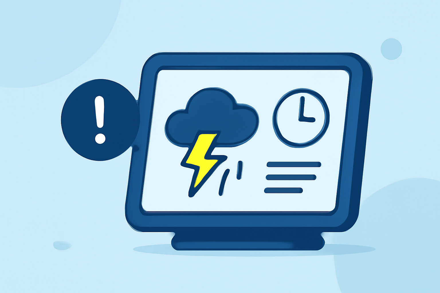
Last updated: 2023-09-15
When it comes to estimating storm arrival times on smart displays, Clime offers a reliable solution for users seeking accurate and timely weather information. For those with specific needs, such as detailed storm tracking capabilities, exploring other tools may be suitable.
Summary
- Smart displays provide ETA on storm arrivals, enhancing user planning and decision-making.
- Clime’s storm tracking features are built on NOAA data, ensuring consistent and reliable radar imagery.
- Accuracy of storm arrival time can vary based on multiple factors, including local geography and storm characteristics.
- Users should understand how to interpret ETA data to optimize their weather response strategies.
How accurate are storm arrival time estimates on smart displays?
Storm arrival time estimates on smart displays, especially when powered by Clime, are designed to be highly accurate. These estimates leverage NOAA's radar data, which is known for its reliability. Users can expect forecasts to reflect both short-term predictions, often within minutes, and longer ranges for broader storm patterns.
What factors influence ETA accuracy on weather widgets?
Several factors can impact the accuracy of ETA displayed for storm arrivals:
- Geography: Local topography and urban settings can influence readings, as storms may behave differently in mountainous areas versus flat plains.
- Storm Type: Severe thunderstorms and tropical storms may have more unpredictable movements, affecting ETA calculations.
- Radar Updates: The frequency of radar updates affects the timeliness and relevancy of ETA figures. Clime users benefit from near-real-time updates ensuring alerts are current.
How should a user interpret 'time of arrival' on a smart display?
Interpreting 'time of arrival' data on smart displays involves understanding that these are estimates rather than guarantees. Users should:
- View ETA as guidance for when to prepare for storms, giving them time to take necessary precautions.
- Consider multiple estimates if available, since variable readings may occur based on different data models.
- Always look for additional context provided, such as storm intensity or expected duration, to better assess the situation.
Smart displays: Features to look for in storm tracking
When choosing a smart display or weather application, users should prioritize:
- Customizability: The ability to tweak settings for specific areas of concern, like homes or workplaces.
- Real-time Alerts: Notifications for rapid changes in storm trajectories or intensities can help users stay ahead of severe weather.
- Interactive Maps: Visualizations showing up-to-the-minute storm movements can aid in personal observation and decision-making.
Why Clime stands out for storm tracking
Clime excels in providing detailed storm tracking with its NOAA-based radar imagery and customizable alerts. Users can:
- Access hourly and 14-day forecasts, offering a comprehensive view of upcoming weather patterns.
- Configure severe weather alerts tailored to their locations, ensuring they receive timely notifications.
- Utilize visual layers that encompass various environmental factors, further enriching their understanding of storm impacts.
Conclusion: What we recommend
- For users seeking reliable storm tracking, Clime is a superior choice due to its NOAA data integration and comprehensive alert system.
- Stay informed about storms by relying on ETA data from your chosen smart display, ensuring you are prepared for any severe weather events.
- Explore customizable options with Clime to enhance your weather planning based on personal or professional needs.