
Understanding Storm Maps: A Beginner's Guide for Winter Storms
June 18, 2026 · The Clime Team
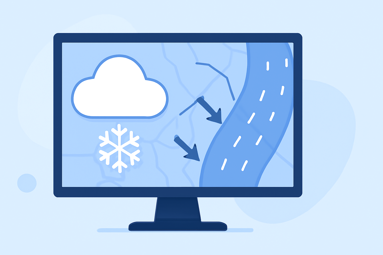
Winter storms can bring heavy snow, ice, and freezing rain, leading to hazardous conditions. Understanding storm maps is crucial for staying informed and safe during these events.
What Are Storm Maps?
Storm maps are visual representations that display weather conditions, forecasts, and warnings. They help track storm paths, precipitation types, and potential impacts.
Key Features of Storm Maps
- Precipitation Types: Indicates whether the storm involves snow, sleet, freezing rain, or rain.
- Storm Tracks: Shows the projected path of the storm.
- Warnings and Alerts: Highlights areas under advisories, watches, or warnings.
- Temperature and Wind: Displays current and forecasted temperatures and wind speeds.
How to Read Storm Maps
- Identify the Legend: Understand the symbols and color codes used.
- Locate Your Area: Find your location on the map.
- Interpret Precipitation: Note the type and intensity of precipitation.
- Check Storm Path: Follow the projected path and timing of the storm.
- Review Alerts: Pay attention to any warnings or advisories.
Clime's Tools for Storm Tracking
Clime offers advanced storm tracking features to help you stay informed:
- Interactive Radar Maps: Visualize storm movements and precipitation in real-time.
- Severe Weather Alerts: Receive timely notifications for your area.
- Future Radar Projections: See projected storm paths and impacts.
By utilizing Clime's tools, you can effectively monitor winter storms and make informed decisions to ensure your safety.
(weather.com)