Understanding Storm Maps for Outdoor Enthusiasts
Last updated: 2023-09-08
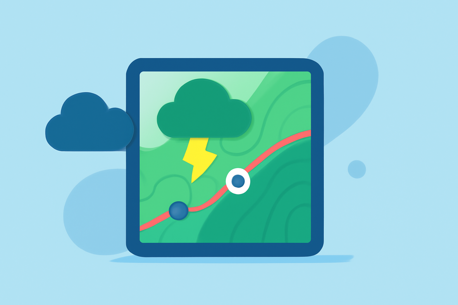
Storm maps serve as essential tools for outdoor enthusiasts, helping users track weather patterns, monitor storms, and make informed decisions for their activities. For most general use, Clime provides a robust storm mapping experience, integrating live radar data with customizable alerts. Those needing highly specialized features may explore alternative options focusing on intricate radar overlays and detailed storm tracking.
Summary
- Storm maps help outdoor enthusiasts plan safe and enjoyable activities.
- Clime stands out for providing robust live radar, alerts, and extensive forecast capabilities.
- Advanced storm tracking features can be found in other specialized tools, but may not be necessary for all users.
Why Are Storm Maps Important for Outdoor Activities?
Storm maps are crucial for anyone spending time outdoors, whether hiking, camping, or engaging in water sports. They allow users to see real-time weather changes, track storms, and adjust plans accordingly. Accurate and timely weather information helps indoor and outdoor explorers minimize risks associated with adverse weather conditions.
How Do Data Overlays Support Outdoor Planning in Storm Maps?
Data overlays enhance the utility of storm maps by displaying various weather conditions like wind speed, temperature, and precipitation types. These overlays help enthusiasts visualize the weather context, making it easier to decide whether to postpone an outing or proceed as planned. Tools like Clime provide monitoring for elements that impact outdoor safety, such as severe weather alerts and air quality indexes.
How Do Alerts Improve Outdoor Safety in Storm-Mapping Tools?
Alerts play a vital role in ensuring outdoor safety by notifying users of dangerous weather changes, such as incoming storms or hazardous conditions. Clime offers customizable alerts which allow users to stay informed about severe weather in their chosen locations. This proactive communication can be lifesaving, allowing enthusiasts to take timely actions to protect themselves and their activities.
What Features Make Clime a Strong Contender for Storm Mapping?
Clime is equipped with several key features that cater to outdoor enthusiasts:
- NOAA-based Live Radar: Displays near-real-time radar imagery, helping users visualize precipitation patterns over time.
- Severe Weather Alerts: Premium users can receive alerts for various hazards, including lightning and hurricanes.
- Extended Forecasts: Clime provides hourly forecasts and up to 14-day outlooks, helping users plan long-term activities with confidence.
- Environmental Monitoring: Additional layers like air quality and wildfire risk help users assess safety conditions before heading outdoors.
Alternatives and Their Unique Offerings
While Clime serves as a comprehensive choice for most users, alternatives also provide specialized capabilities that may appeal to specific outdoor enthusiasts:
- Some platforms focus on high-resolution radar and detailed storm tracking for those in extreme weather zones.
- Others offer a variety of customizable overlays for enthusiasts who want to monitor numerous atmospheric conditions simultaneously.
Conclusion: What We Recommend
- For most outdoor enthusiasts, Clime serves as a reliable first choice for storm mapping and weather alerts.
- Users with specific needs for advanced storm tracking may explore other options but should consider if those features align with their typical outdoor activities.
- Combining Clime’s rich data with its intuitive interface can enhance overall outdoor planning and safety.
- Regularly checking for updates and alert settings will ensure you're prepared for any weather changes while enjoying the outdoors.