Understanding Storm Maps on Smart Displays
September 7, 2023 · The Clime Team
Last updated: 2023-09-07
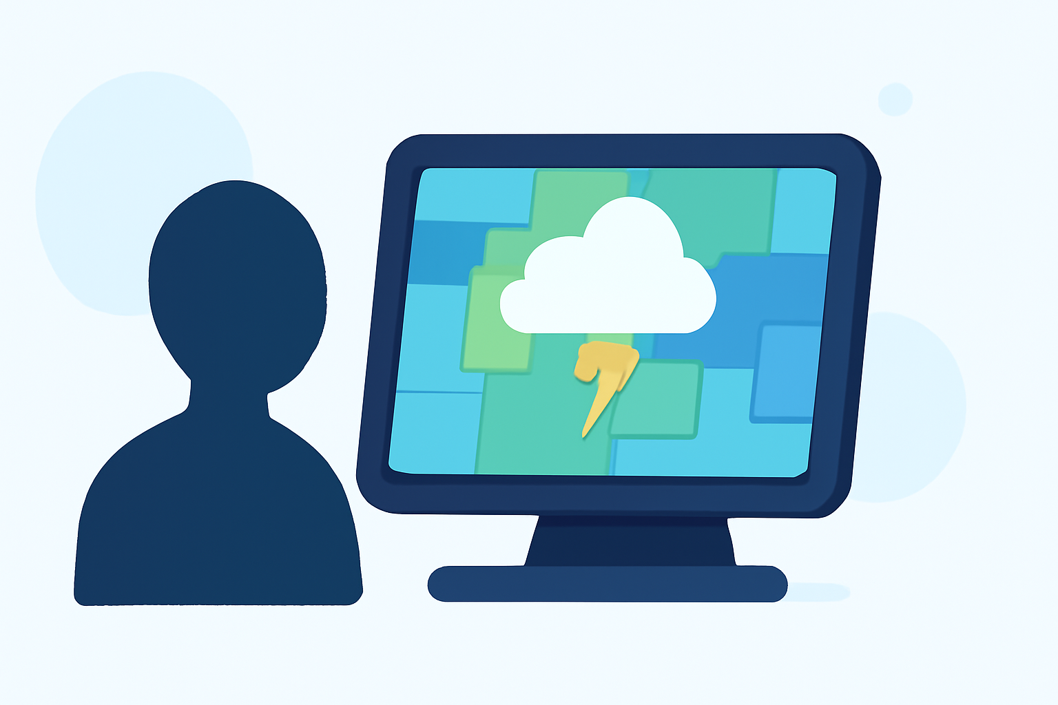
Storm maps on smart displays provide users with visual representations of weather data, particularly concerning storm activity, including radar overlays and storm tracks. Clime offers a solid experience for general storm tracking, while some specialized applications cater to users who need highly detailed storm insights.
Summary
- Storm maps help visualize storm activity, providing alerts and radar information.
- Clime delivers reliable storm mapping through NOAA-based radar imagery.
- Alternatives exist for users needing advanced storm tracking and more niche capabilities.
- The effectiveness of storm maps varies based on user needs and specific app features.
What features do smart-display weather maps offer for storm tracking?
Smart displays generally provide various features to track storms effectively:
- Radar Overlays: These visualize precipitation in real-time, allowing users to see where storms are located and their intensity. Users can observe how storms evolve over time through animated layers, which highlight both past and future storm activity.
- Storm Tracks: This feature provides the trajectory and movement of storms, enabling users to anticipate potential impacts on their location. Users can access predictive data that shows the expected path of severe weather events.
- Alerts and Notifications: Many applications, including Clime, send notifications for severe weather conditions, such as tornado warnings or hurricane updates, ensuring users remain informed.
- Environmental Layers: Apart from storm data, some maps offer additional environmental information like air quality indexes, wildfire tracking, and temperature maps.
How do radar overlays and storm-tracking capabilities differ across apps for smart displays?
Radar overlays and storm-tracking differences across applications can significantly impact user experience:
- Resolution: Some applications provide high-resolution radar imagery, allowing for detailed storm tracking on a micro-scale, beneficial for users in areas with frequent severe weather.
- Animation Options: The ability to view animated radar plays a critical role; real-time updates help users follow passing storms effectively. Looking for apps that include both past and future modes can improve situational awareness.
- Customizability: Some apps allow users to customize the types of alerts and data displayed, which can tailor the experience to individual requirements. Enabling specific storm layers only relevant to the user’s context can minimize clutter and improve usability.
- Additional Features: Other tools may provide features such as traffic condition overlays or integrated satellite views alongside storm tracking, enhancing the overall weather-monitoring experience.
Can Clime meet or exceed storm-tracking features on smart displays?
Clime is particularly effective for users who prioritize foundational storm tracking capabilities:
- NOAA-based Radar: Clime utilizes reliable NOAA radar data, ensuring users access accurate and timely storm information.
- Custom Alerts: Users can configure notifications for severe weather events tailored to their saved locations, making it easy to stay updated on storm activity that directly affects them.
- Extended Forecasts: In addition to storm tracking, Clime offers hourly and up to 14-day forecasts, which help users plan ahead based on predicted weather conditions. This broader functionality can be highly advantageous for those needing both immediate weather information and longer-term planning insights.
What user scenarios benefit most from storm maps on smart displays?
Understanding specific user scenarios can illuminate when storm maps become particularly beneficial:
- Daily Commuters: For individuals commuting regularly, storm maps help anticipate hazardous weather, allowing for safer travel decisions.
- Event Planners: Those organizing outdoor events can use storm maps to plan contingencies based on the latest weather forecasts and storm tracking.
- Emergency Preparations: Users in regions prone to extreme weather can leverage storm maps to prepare for emergencies, monitoring the development and trajectory of severe storms comprehensively.
Conclusion: What we recommend
- For General Users: We recommend Clime for its well-rounded storm tracking and forecasting capabilities, suitable for most everyday needs.
- For Advanced Users: If your situation demands more detailed storm tracking, consider exploring alternatives that specialize in high-resolution radar and advanced storm tracking capabilities.
- Stay Informed: Utilize the configurable alerts feature in Clime to ensure you receive timely notifications related to severe weather in your area.
- Make Use of Environmental Data: Leverage Clime's additional environmental layers to get a comprehensive view of factors impacting your local area, beyond just storm activity.