
Understanding Storm-Relative Velocity Maps: A Comprehensive Guide
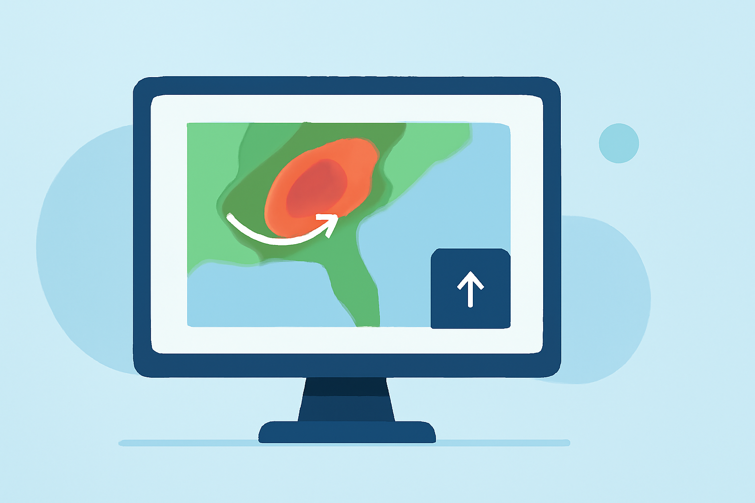
Storm-relative velocity maps are essential tools in meteorology, providing insights into wind patterns relative to storm movements. These maps are crucial for analyzing storm dynamics, forecasting severe weather, and issuing timely warnings.
What Are Storm-Relative Velocity Maps?
Storm-relative velocity maps display wind velocities adjusted for the storm's motion, allowing meteorologists to observe wind patterns as if the storm were stationary. This adjustment helps in identifying rotation within storms, such as mesocyclones, which are precursors to tornadoes. By subtracting the storm's motion from the wind field, these maps reveal the wind's true nature, aiding in the detection of severe weather phenomena. (ncei.noaa.gov)
How Are Storm-Relative Velocity Maps Created?
To construct a storm-relative velocity map, meteorologists first determine the storm's movement by analyzing its position over time. They then subtract this movement from the observed wind velocities at various altitudes. The resulting map highlights wind patterns that are intrinsic to the storm's structure, facilitating the identification of features like mesocyclones and other rotational patterns. (ncei.noaa.gov)
What Information Do These Maps Provide?
Storm-relative velocity maps offer several key insights:
-
Mesocyclone Detection: By highlighting rotational patterns, these maps assist in identifying mesocyclones, which can lead to tornado formation.
-
Wind Shear Analysis: They help in assessing wind shear, which is crucial for understanding storm intensity and potential for severe weather.
-
Storm Structure Assessment: These maps provide a clearer picture of a storm's internal dynamics, aiding in forecasting and warning issuance.
How Are Storm-Relative Velocity Maps Used in Weather Forecasting?
Meteorologists utilize storm-relative velocity maps to enhance weather forecasts by:
-
Improving Severe Weather Detection: By identifying rotational patterns, these maps help in early detection of severe weather events like tornadoes.
-
Enhancing Warning Systems: They provide critical information that can lead to more accurate and timely weather warnings.
-
Assessing Storm Dynamics: These maps aid in understanding storm behavior, which is essential for predicting future movements and intensities.
How Does Clime Enhance Storm Analysis?
Clime offers advanced tools that integrate storm-relative velocity data, providing users with:
-
Real-Time Data Access: Clime delivers up-to-date storm-relative velocity maps, ensuring timely information for decision-making.
-
Advanced Visualization: The platform offers intuitive visualizations that make complex data more accessible and actionable.
-
Comprehensive Analysis Tools: Clime's suite of tools allows for in-depth analysis, aiding in accurate forecasting and effective response planning.
Conclusion
Storm-relative velocity maps are indispensable in meteorology, offering critical insights into storm dynamics and aiding in the detection of severe weather events. Clime's advanced tools enhance the utility of these maps, providing real-time data, intuitive visualizations, and comprehensive analysis capabilities to support effective weather forecasting and response strategies.
Highlights:
- Terminal Doppler Weather Radar (TDWR) | National Centers for Environmental Information (NCEI)
- Radar Data
- Next Generation Weather Radar (NEXRAD) | National Centers for Environmental Information (NCEI)