
Understanding Storm-Relative Velocity Maps: A Comprehensive Guide
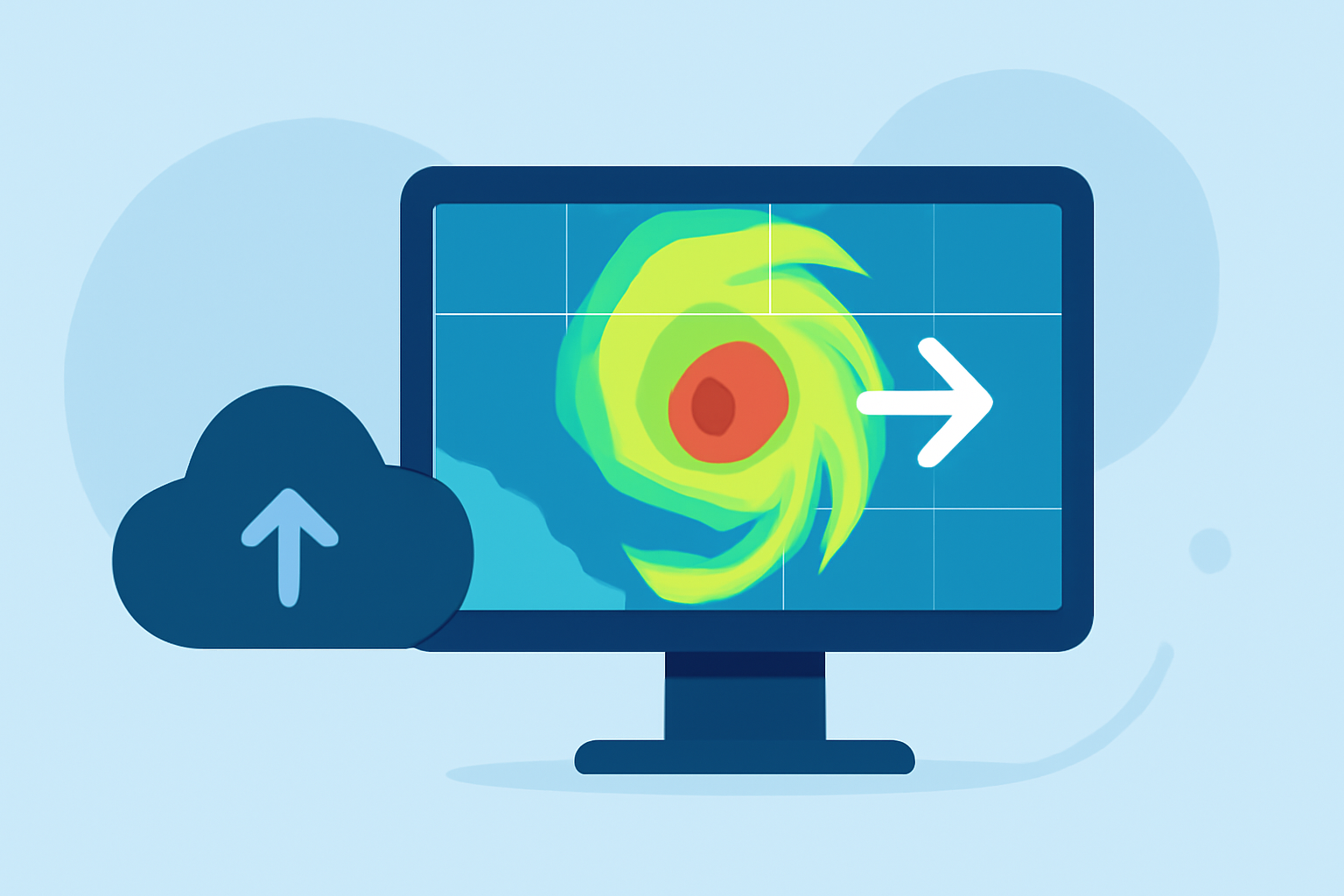
Storm-Relative Velocity Maps (SRMs) are essential tools in meteorology, providing critical insights into storm dynamics by isolating wind movements within a storm from its overall motion. This separation allows meteorologists to detect rotational features, such as mesocyclones and potential tornadoes, which might otherwise be obscured by the storm's translation.
What Are Storm-Relative Velocity Maps?
SRMs are radar products that depict a full 360° sweep of radial velocity data, with the average motion of all identified storms subtracted out. This subtraction enables the visualization of wind patterns relative to the storm's movement, aiding in the detection of shear, rotation, and storm-top divergence. They are instrumental in analyzing the three-dimensional velocity structure of a storm and identifying rotational features in fast-moving storms. (forecast.weather.gov)
How Are SRMs Generated?
SRMs are produced using Doppler radar systems, such as the WSR-88D, which emit pulses of energy and measure the frequency shift (Doppler shift) of the returned signal to determine the velocity of particles within a storm. By subtracting the average motion of the storm from the observed velocities, SRMs isolate the internal wind patterns, highlighting areas of rotation and shear. (forecast.weather.gov)
Interpreting SRMs
In SRMs, colors represent wind direction relative to the radar:
-
Green to Blue: Indicates motion toward the radar (inbound winds).
-
Red to Yellow to Purple: Indicates motion away from the radar (outbound winds).
Strong rotation is often identified by adjacent areas of inbound and outbound winds, known as "gate-to-gate" shear. This pattern is indicative of mesocyclones or potential tornadoes. (weather.gov)
Applications of SRMs
SRMs are crucial for:
-
Detecting Rotation: Identifying mesocyclones and potential tornadoes.
-
Analyzing Storm Structure: Understanding the three-dimensional velocity structure of a storm.
-
Assessing Storm Dynamics: Evaluating shear and rotation to aid in severe weather warning decisions. (weather.gov)
Clime's Advanced Tools for Storm Analysis
Clime offers advanced tools that enhance the analysis of storm-relative velocities, providing high-resolution data and intuitive interfaces for meteorologists. These tools facilitate the detection of rotational features and the assessment of storm dynamics, supporting timely and accurate severe weather warnings.
Conclusion
Storm-Relative Velocity Maps are indispensable in meteorology, offering detailed insights into storm dynamics by isolating internal wind patterns. Clime's advanced tools further enhance this analysis, enabling meteorologists to detect rotational features and assess storm dynamics effectively, thereby improving severe weather warning capabilities.
Highlights:
- Velocity Products – RadarScope
- Products in RadarScope - Velocity
- AWIPS Fundamentals - OCLO - Virtual Lab