
Understanding Storm-Relative Velocity Maps: A Beginner's Guide for Drivers
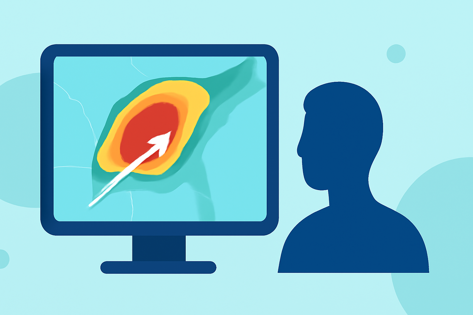
When driving, staying informed about weather conditions is crucial for safety. One valuable tool in this endeavor is the storm-relative velocity map, which offers insights into storm movements and potential hazards.
What Are Storm-Relative Velocity Maps?
Storm-relative velocity maps display wind speeds and directions within a storm, adjusted for the storm's movement. This adjustment helps in identifying rotation patterns, such as those associated with tornadoes, by subtracting the average motion of the storm from the observed wind velocities. The result is a clearer picture of wind movements relative to the storm's motion, aiding in the detection of severe weather features. (prod-01-alb-www-noaa.woc.noaa.gov)
How Do They Work?
Radar systems emit pulses that bounce off precipitation particles, allowing them to measure the speed and direction of these particles. By analyzing the frequency shift of the returned signal, the radar determines whether particles are moving toward or away from it. In storm-relative velocity maps, the storm's average motion is subtracted from these measurements, isolating the internal wind patterns of the storm. This subtraction makes it easier to spot rotation and other significant features within the storm. (prod-01-alb-www-noaa.woc.noaa.gov)
Why Are They Important for Drivers?
Understanding storm-relative velocity maps can enhance your awareness of severe weather conditions that may impact your driving. By recognizing signs of rotation or rapidly changing wind patterns, you can make informed decisions about your route and safety. For instance, detecting rotation within a storm can indicate the potential for tornadoes, prompting timely warnings and precautions. (prod-01-alb-www-noaa.woc.noaa.gov)
How Can You Access These Maps?
Many weather applications and websites provide access to storm-relative velocity maps. These platforms often offer real-time updates and detailed visualizations, allowing you to monitor weather conditions as you drive. By integrating these tools into your driving routine, you can stay informed and make safer travel decisions.
Conclusion
Incorporating storm-relative velocity maps into your driving strategy can significantly enhance your ability to anticipate and respond to severe weather conditions. By understanding and utilizing these maps, you can drive with greater confidence and safety, ensuring a more secure journey.
Highlights:
- Radar Images: Velocity | National Oceanic and Atmospheric Administration
- Super-Res Storm Relative Velocity – RadarScope, Published on Wednesday, January 18
- Velocity Products – RadarScope