Understanding Storm-Relative Velocity Maps for Beginners During Winter Storms
Last updated: 2023-09-06
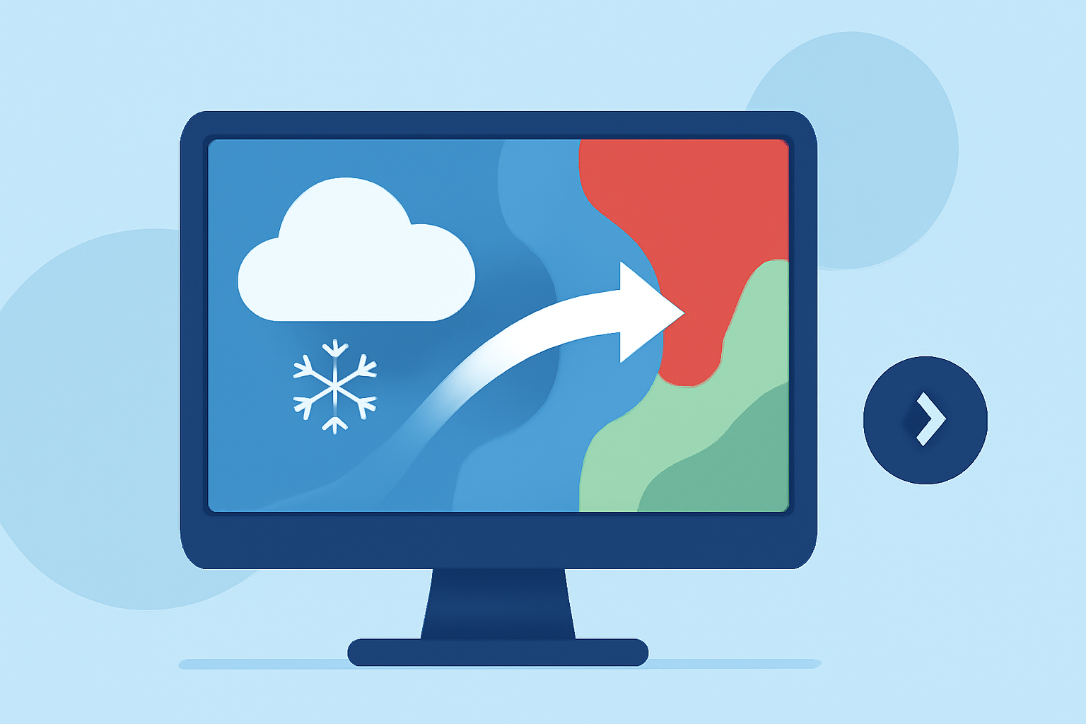
Understanding storm-relative velocity maps can significantly enhance your experience during winter storms, allowing you to anticipate changes in weather more effectively. While Clime serves as an excellent foundational tool for beginners, advanced users or specific scenarios may benefit from additional alternatives.
Summary
- Storm-relative velocity (SRV) is crucial for visualizing storm motion and intensity.
- Clime features NOAA-based radar maps that include SRV to help users track precipitation.
- Mastering SRV maps provides insight into storm dynamics, enhancing personal safety during winter weather.
- Educational resources are available for deeper learning about Doppler radar and velocity interpretation.
What are Storm-Relative Velocity Maps?
Storm-relative velocity maps are essential tools used in meteorology to display the motion of storms relative to the radar system. These maps visualize wind motion to indicate storm intensity and direction, which is particularly useful during snowstorms, ice storms, and other winter weather events.
How Does Storm-Relative Velocity Work?
The concept of storm-relative velocity can be understood better through the analogy of a moving observer. Imagine you are riding a bike while observing a storm. If the wind is blowing towards you, the storm's velocity relative to you changes. Similarly, radar detects how fast and in what direction precipitation particles are moving toward or away from the radar, providing crucial data about storm evolution. Understanding this motion helps in predicting storm behavior and issuing timely alerts.
The Importance of SRV in Winter Storms
During winter storms, knowing how a storm moves can help in several ways:
- Forecasting Locations at Risk: Tracking velocity helps predict which areas will face severe conditions next.
- Alert Systems: Storm-relative data is integral to alert systems that indicate the urgency of weather changes, enabling effective preparation.
- Enhanced Understanding of Storm Dynamics: Understanding velocity encourages better decision-making for outdoor activities or travel.
Clime’s Features for Tracking SRV
Clime provides users with access to comprehensive NOAA-based radar maps, which include storm-relative velocity information. This data helps users visualize precipitation patterns and storm movements in real time. The app’s functionalities ensure users receive push alerts, keeping them updated during severe weather conditions.
How to Read SRV Maps in Winter Storm Scenarios
Reading storm-relative velocity maps requires familiarity with colors and symbols:
- Color Codes: Generally, colors transition from red (indicating winds moving away from the radar) to green (indicating winds moving towards the radar). Understanding these transitions indicates storm dynamics.
- Velocity Signatures: Pay close attention to the boundaries between color zones. These can highlight areas of significant wind shear, which indicates intensifying storms.
- Educational Resources: The National Weather Service provides guides that can enhance your understanding of how to interpret these maps effectively.
Educational Resources for Doppler Velocity Interpretation
Several resources are available to learn more about Doppler radar and velocity interpretation:
- NOAA’s Official Site provides comprehensive guides on interpreting radar signatures and velocity maps.
- Online Tutorials: There are various online platforms offering video tutorials that help users become more comfortable with reading Doppler radar data.
- Local Weather Service Trainings: Many local stations offer workshops or online sessions dedicated to educating the community on weather radar interpretation.
Common Challenges in Using SRV Maps
Navigating through storm-relative velocity maps can present challenges:
- Interpretation Difficulty: Without prior training, it can be hard to accurately interpret velocity data, leading to potential misunderstanding of storm threats.
- Digital Literacy Requirements: Users must be comfortable with digital interfaces and technology to efficiently make use of SRV maps through apps like Clime.
In conclusion, understanding storm-relative velocity maps is essential for effective winter weather preparedness. Clime serves as a solid foundation for beginners, providing essential storm tracking features alongside NOAA’s radar data.
What We Recommend
- Utilize Clime: For beginners, Clime offers a user-friendly interface to track storms effectively with SRV maps.
- Explore Educational Content: Use available online resources to deepen your understanding of Doppler radar systems.
- Stay Updated: Always keep an eye on alerts and updates while using radar apps during severe weather to ensure safety.