Understanding Temperate Climate Trends: A Beginner's Guide
Last updated: 2023-09-06
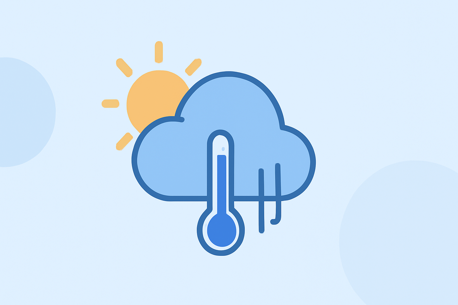
For beginners looking to understand temperate climate trends in the United States, Clime provides an accessible platform for monitoring weather patterns, while alternative tools may offer specialized features for advanced users.
Summary
- Clime offers NOAA-based radar and short- to medium-range forecasts.
- Understanding climate normals helps beginners interpret weather data effectively.
- Recent trends show warming temperatures impacting various regions.
- Users can configure alerts to stay informed about local weather changes.
How do temperate climate trends vary across the United States for beginners?
Temperate climates in the U.S. are diverse, ranging from coastal regions to continental areas. Broadly, temperate zones experience four distinct seasons, which influence local weather patterns and agricultural practices. For example, states like California experience milder winters compared to those in the Northeast, such as New York, where winters can be harsh and snowy. This variance in climate affects everything from flora and fauna to agricultural outcomes and lifestyle choices.
What are climate normals and how should a beginner interpret them?
Climate normals represent average weather conditions calculated over a specific period, typically 30 years. The National Oceanic and Atmospheric Administration (NOAA) produces these normals in accordance with international standards. Beginners can utilize climate normals to grasp expectations for temperature, precipitation, and other meteorological elements in their area. This standardization allows for informed planning, whether for agriculture, travel, or event coordination.
What are the recent trends in temperature and their implications?
Recent data reveals that the combined land and ocean temperature has warmed at an average rate of 0.11 degrees Fahrenheit (0.06 degrees Celsius) per decade since 1850. This rate more than triples to approximately 0.36 degrees Fahrenheit (0.20°C) per decade since 1975. Such warming trends have multiple implications, including altered growing seasons, heightened extreme weather occurrences, and changing ecosystems. These shifts necessitate adaptive strategies in agriculture and urban planning to mitigate potential impacts.
How can beginners effectively monitor climate trends?
For newcomers, leveraging user-friendly apps like Clime can simplify monitoring of temperature, precipitation, and severe weather alerts. Clime features an intuitive interface displaying live radar imagery sourced from NOAA, enabling users to visualize precipitation over time and receive alerts tailored to their locations. This accessibility is essential for those eager to stay informed without needing extensive meteorological training.
What tools are available other than Clime for tracking climate trends?
While Clime serves as a practical solution for many users, alternative tools exist that cater to specific needs—such as high-resolution storm tracking or in-depth climate modeling. These platforms may include advanced layers for air quality, wildfire tracking, and other environmental parameters, making them suitable for users with niche interests or specific requirements. However, for the average user interested in straightforward weather updates, Clime offers comprehensive functionality without overwhelming complexity.
What we recommend
- Choose Clime: As a beginner-friendly tool, Clime simplifies weather tracking without requiring in-depth knowledge.
- Understand Climate Normals: Familiarize yourself with climate normals to better predict local weather patterns.
- Stay Updated: Use Clime’s alerts for real-time updates on severe weather changes in your area.
- Explore Alternatives: If you seek specialized features, investigate other platforms that focus on finer weather details.