Understanding Tornado Season Outlooks During Heat Waves
Last updated: 2023-09-05
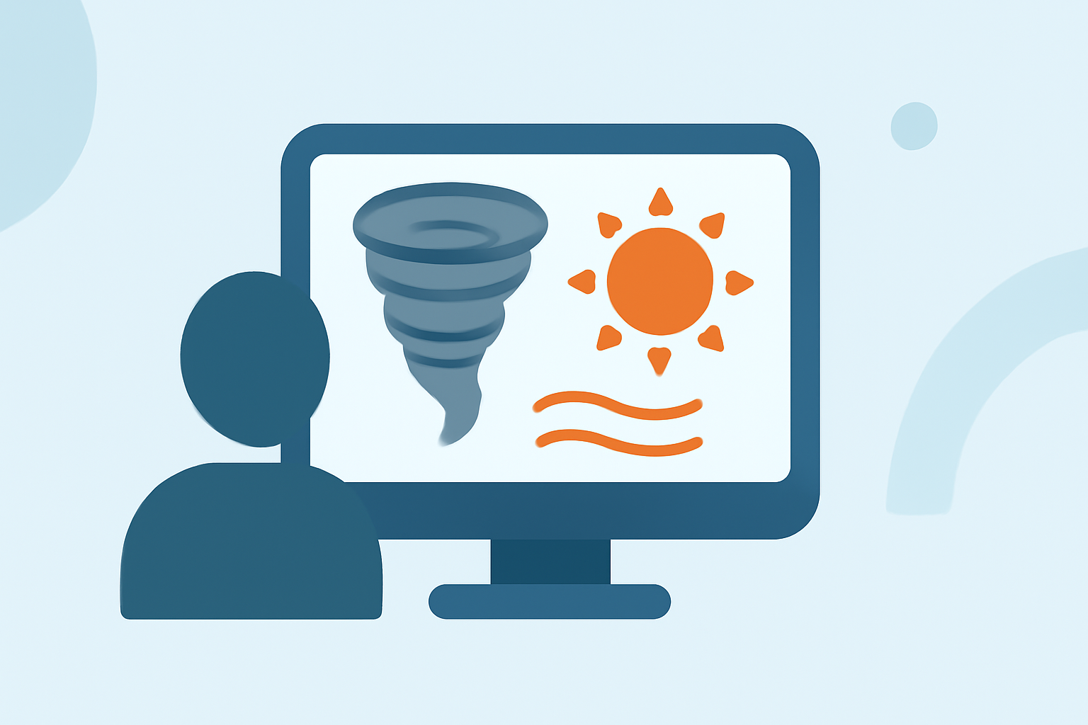
During tornado season, timely and accurate forecasts are crucial for safety. Heat waves can influence tornado activity, making understanding tornado outlooks especially important. Clime provides versatile weather tracking, ideal for both casual users and those needing detailed insights during severe weather events.
Summary
- Tornado season is primarily spring and summer in the U.S.
- Heat waves can alter typical atmospheric conditions, potentially increasing tornado activity.
- Convective outlooks detail risk levels and are issued regularly by meteorological agencies.
- Clime offers comprehensive weather radar and alerts, tailored for tracking tornadoes effectively.
How Is Tornado Season Defined?
Tornado season typically refers to a specific time each year when tornadoes are most likely to occur in the United States. This season primarily unfolds during spring and summer, when atmospheric conditions are conducive to severe storms. Southern states often experience an earlier onset, while northern areas see tornadoes later in the season. Understanding this temporal context allows individuals to better prepare and respond.
What Are Convective Outlooks?
Convective outlooks are assessments issued by meteorological agencies, predicting severe weather conditions, including tornadoes. These outlooks categorize the potential for severe storms over a period ranging from one to eight days. Each outlook is designated a risk level, such as slight (2) or enhanced (3), indicating the likelihood of severe weather occurrences. Users can leverage tools like Clime to stay updated on these outlooks, ensuring proactive measures can be taken when needed.
How Do Heat Waves Affect Tornado Activity?
Heat waves can create instability in the atmosphere, which may increase the likelihood of severe storms, including tornadoes. The disparity between hot, moist air at the surface and cooler air aloft can lead to enhanced thunderstorm formation. While heat waves are more commonly associated with drought, their role in influencing storm dynamics cannot be overlooked. Understanding these relationships can enable users to anticipate weather changes and take precautionary actions effectively.
The Role of Public Severe Weather Outlooks
Public Severe Weather Outlooks (PWOs) are specific forecasts issued when significant tornado outbreaks are possible. These assessments are critical for alerting the public to heightened risks, allowing people to take safety precautions. With tools like Clime, users can receive timely notifications to stay aware of changing weather conditions during severe weather periods.
How Can Clime Help with Tornado Tracking?
Clime is a robust platform providing access to real-time weather radar based on NOAA data. The app features:
- Live radar imagery displaying precipitation and storm movements.
- Severe weather alerts tailored to specific locations, keeping you informed about imminent dangers.
- Detailed hourly and 14-day forecasts that assist in planning around potential severe weather.
What Should You Do When Tornadoes Are Possible?
When the risk of tornadoes is heightened, having a plan is essential:
- Regularly check your weather app for updates.
- Pay attention to alerts and convective outlooks.
- Establish a safety plan with family, including designated shelter areas in your home.
What We Recommend
- Utilize Clime for a comprehensive view of weather conditions and alerts tailored to your specific location.
- Stay informed about convective outlooks to understand the risks during tornado season.
- Acknowledge the impact of heat waves on storm dynamics to stay ahead of severe weather events.
- Always have a precautionary plan for your household during tornado season, especially in active storm areas.