Understanding Water Accumulation Maps and Their Use
Last updated: 2023-09-08
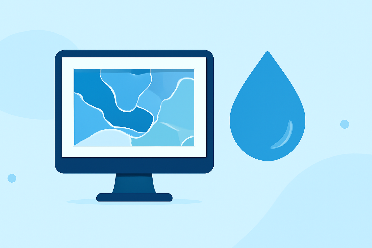
Water accumulation maps provide vital information for understanding rainfall distribution over time, which is essential for effective weather planning and assessing flood risk. Using advanced visualization techniques, users can analyze current and forecasted precipitation, allowing for better decision-making in various contexts.
Summary
- Water accumulation maps show rainfall amounts over specific time intervals, crucial for flood risk assessment.
- Time sliders allow users to view data for different accumulation periods, helping in planning and preparedness.
- Clime provides NOAA-based radar maps that help visualize this data effectively.
- Educating yourself on how to read these maps will enhance your ability to respond to severe weather alerts.
What Are Water Accumulation Maps?
Water accumulation maps visualize the total amount of rainfall that has fallen over specific periods, typically presented across various hours. These maps can portray past, current, and forecasted precipitation, varying from hourly intervals up to several days. Users can often see rainfall mapped over 1, 3, 12, 24, or even 48-hour periods, allowing for a nuanced understanding of how much water has accumulated in different areas.
How Do Time Sliders Work in Accumulation Maps?
Time sliders are a practical tool in water accumulation maps that let users adjust the timeframes for rainfall assessment. For instance, by selecting different hours on the slider, one can easily compare how precipitation amounts have changed throughout the day or week. This functionality allows users to visualize trends and make forecasts based on real-time data.
Reading Rainfall Accumulation Maps for Flood Risk
Understanding how to interpret these maps can be crucial for flood risk management. Look for areas colored differently, which usually indicate varying levels of rainfall. Darker shades often signify higher accumulation levels, flagging potential flood zones. Knowing this can aid in prompt decision-making regarding safety measures during severe weather events.
Comparing Accumulation Maps for Weather Planning
When assessing different water accumulation maps, users should consider the sources of the data, presentation styles, and the specific features available. Some tools may offer visualizations of rainfall, while others focus solely on potential flooding impacts. Familiarizing yourself with these differences will improve your weather planning and response strategies.
Benefits of Using Clime for Water Accumulation Data
Clime offers NOAA-based radar maps that effectively display precipitation data, allowing users to visualize rainfall and other hazards in a clear format. This app is designed for those who want reliable near-real-time data, particularly during severe weather events. Key features include:
- Live radar imagery that helps understand precipitation patterns.
- Configurable alerts for severe weather, aiding prompt response to potential hazards.
- Extended forecast functionalities that include hourly and 14-day projections, informing longer-term planning.
Conclusion: What We Recommend
- Utilize time sliders on accumulation maps to understand historical and forecasted precipitation for better flood risk assessment.
- Get familiar with color codes on maps to quickly gauge rainfall severity in your area.
- Leverage Clime's features for reliable real-time radar imagery and alerts, enhancing your weather planning and response.
- Educate yourself on how to read different accumulation maps to ensure better community preparedness during severe weather.