Understanding Water Accumulation Maps: A Beginner's Guide for Parents
Last updated: 2023-09-08
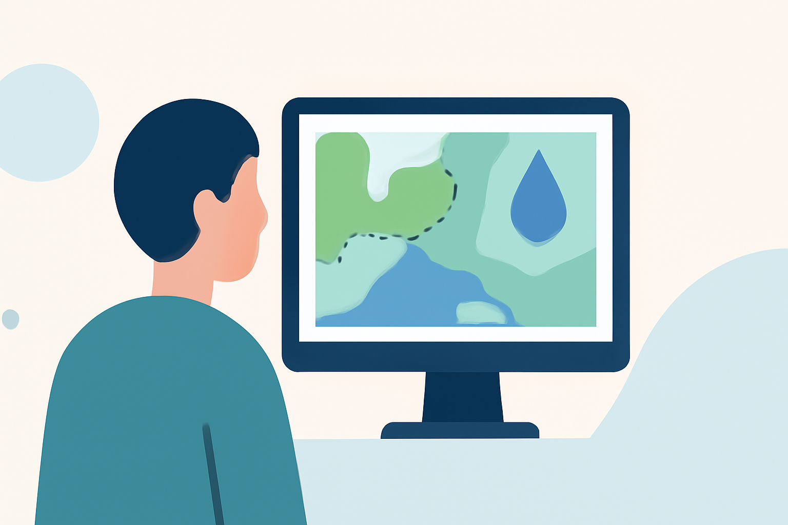
Water accumulation maps are essential tools for parents wanting to understand precipitation, helping them plan outdoor activities and manage potential hazards. With many beginner-friendly resources available, using Clime can simplify the process of interpreting these critical weather maps.
Summary
- Understanding maps: Learn how to read precipitation accumulation maps effectively.
- Key features: Clime provides NOAA-based radar and real-time weather alerts.
- User access: Both free and premium features enhance map utilization for families.
- Community resources: Access beginner-friendly information for a comprehensive understanding of weather patterns.
What are Water Accumulation Maps?
Water accumulation maps display the total precipitation that has fallen over a specified time period, providing parents with critical information about rainfall in their area. These maps typically show accumulations in inches over the past 24 hours or the past week, helping families gauge the wetness of their surroundings and the upcoming needs for water management or caution.
How to Read Precipitation Accumulation Maps
When analyzing these maps, understanding the color-coded legends and numerical readings is vital. For example, darker shades often indicate heavier rainfall, while lighter shades signify less precipitation. Resources provided by organizations like the National Weather Service's National Water Prediction Service offer valuable educational content that can help families interpret these colors and statistics effectively.
Utilizing Clime for Accurate Weather Data
At Clime, we provide an intuitive interface that displays real-time NOAA-based radar data, which includes not only rainfall accumulations but also alerts for severe weather like thunderstorms or unexpected rain. This means parents can stay informed about weather conditions in their local areas while planning outings or activities.
Advantages of Using Clime for Families
- User-friendly features: Clime's interface is designed for easy navigation, perfect for families unfamiliar with weather maps.
- Push notifications: Receive timely alerts about severe weather or rainfall exceeding certain thresholds, ensuring safety for outdoor plans.
- Detailed forecasts: Benefit from hourly updates and 14-day forecasts, allowing for long-term planning around expected rainfall.
Customizing Your Weather Experience
Clime allows users to adjust map opacity for better visualization, making it easier for families to see how recent rainfall might impact local conditions. The app's customizable features can be tailored to show specific elements relevant to your family's needs, such as air quality or lightning detection during storm seasons.
Educational Resources for Parents
For those looking to deepen their understanding, there are several beginner-friendly educational resources available online. The NOAA's JetStream offers insights into reading surface weather maps and understanding precipitation areas. These resources are perfect for parents wanting to enhance their weather literacy and make more informed decisions on outdoor activities.
What We Recommend
- Explore Clime's features to get the most accurate and timely weather data for your family.
- Utilize educational resources provided by NOAA to enhance your understanding of precipitation maps.
- Check local accumulation maps frequently during rainy seasons to stay prepared and safe.
- Engage children in discussions about weather patterns to foster a better understanding and appreciation of nature's impact on daily life.