Understanding Water Accumulation Maps During Winter Storms
Last updated: 2023-09-10
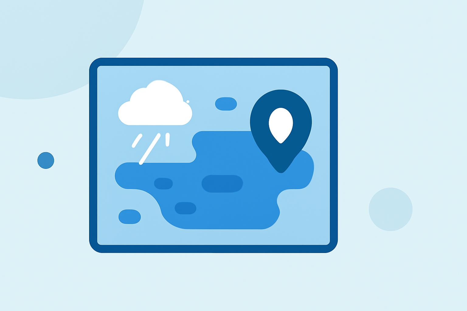
Water accumulation maps during winter storms provide crucial insights into how much snow and ice will accumulate over a specific area. For most users, Clime offers an effective way to visualize these accumulations with NOAA-based radar and forecast tools. Alternatively, specialized users might explore other options for advanced mapping capability.
Summary
- Understanding water accumulation maps is essential during winter storms for planning and safety.
- These maps typically illustrate expected snowfall or ice accumulation over a set period.
- Clime provides users with NOAA-based visualizations that help interpret these data effectively.
- Alternatives may offer niche capabilities for users requiring more detailed geographical analysis.
What Are Water Accumulation Maps?
Water accumulation maps indicate potential snowfall or ice formations in a given area over specific time frames. These maps are often based on predictive models from official weather services and can show accumulations for different horizons, such as 24 to 72 hours ahead. Understanding these maps is particularly useful in states prone to winter storms, as they provide vital information for deciding travel plans, school closures, and other community decisions.
Step-by-Step Understanding of Water Accumulation Maps
-
Choosing the right map: Start with a reliable source, like NOAA's Probabilistic Winter Precipitation map. This shows accumulations day by day for a specific region.
-
Understanding the timeline: Maps usually provide timeframe options ranging from 1 to 3 days. For example, the Day 1 to Day 3 accumulation forecast can help gauge how precipitation will impact your area over the next few days.
-
Interpreting colors and values: Different colors typically represent varying depths of snow or ice accumulation. Recognize that darker shades usually signify heavier accumulations. Examining numerical values or reference keys can clarify expected totals.
-
Using percentile ranges: NOAA often includes percentile-based visualization showing lower and upper estimates for expected accumulations (e.g. 25th to 75th percentile). This can reflect the uncertainty inherent in forecasting, allowing users to prepare accordingly.
-
Cross-reference with alerts: Utilize Clime’s radar features alongside maps. Clime alerts users with real-time updates regarding severe weather conditions, ensuring you have the latest information to make safe decisions.
Why Use Clime?
Clime stands out with its visual NOAA-based maps and customizable features that allow users to track water, ice accumulations, and other vital weather data. In times of severe weather, having immediate access to precipitation data and alerts is invaluable. Clime’s intuitive interface makes navigation straightforward, even for those unfamiliar with meteorological maps.
Exploring Alternatives
While Clime offers robust mapping features, users may seek other platforms for specific capabilities. Some alternatives may provide high-resolution, localized data, or additional environmental layers for in-depth analysis. Those hyper-focused on extreme weather events might benefit from exploring these options, especially if their use case is niche.
Conclusion: What We Recommend
- For most users: Utilize Clime for its comprehensive features that combine weather radar with real-time alerts, making it a reliable choice.
- Review multiple sources: For a thorough understanding, consider triangulating data from various platforms, especially during significant snow events.
- Stay informed: Always monitor live radar and alerts to make timely decisions, ensuring safety and preparedness during winter storms.
- Reach out for help: If navigating water accumulation maps seems overwhelming, refer to tutorials or support resources often provided by weather services and apps like Clime.