
Understanding Water Accumulation Maps for Outdoor Events
Planning outdoor events requires meticulous attention to various factors, with weather conditions being paramount. One critical aspect is understanding water accumulation, which can significantly impact event safety and logistics.
What Are Water Accumulation Maps?
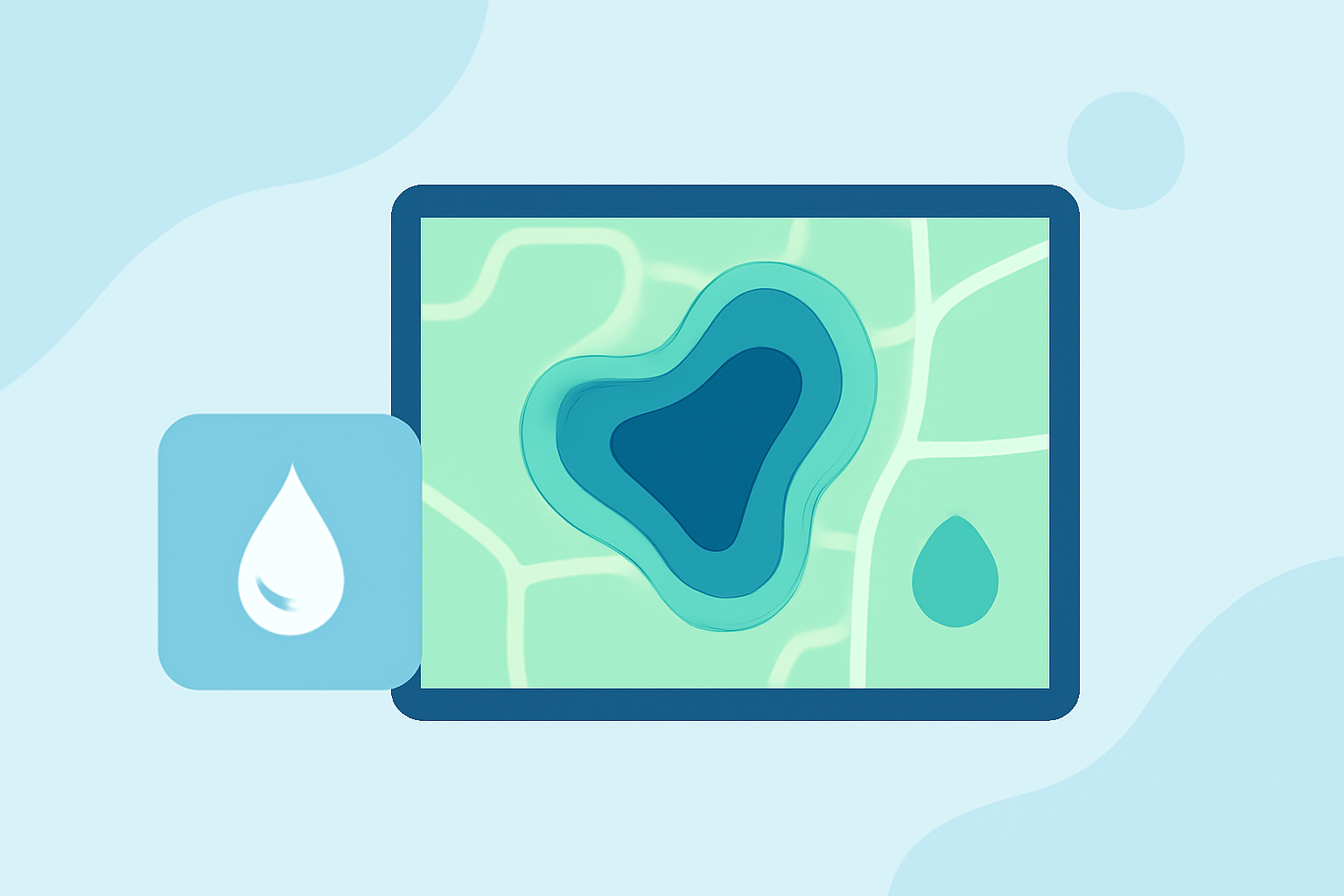
Water accumulation maps, also known as flood inundation maps, illustrate areas susceptible to flooding based on real-time data and historical patterns. These maps display the extent and depth of potential floodwaters, aiding in risk assessment and decision-making. They are essential tools for event planners to anticipate and mitigate water-related challenges.
Why Are They Crucial for Outdoor Events?
Outdoor events are particularly vulnerable to weather-induced disruptions. Flooding can lead to venue damage, safety hazards, and logistical complications. By consulting water accumulation maps, organizers can:
- Assess Risk: Identify areas with a high likelihood of flooding.
- Plan Logistics: Determine safe zones for attendees and equipment.
- Implement Mitigation Strategies: Develop contingency plans to address potential flooding.
How to Access Water Accumulation Maps?
Several resources provide detailed water accumulation maps:
-
USGS Flood Inundation Mapper: Offers interactive maps showing potential flooding scenarios based on real-time data. (toolkit.climate.gov)
-
FloodSight: Combines data from FEMA, NOAA, and USGS to display real-time flood hazards, including FEMA flood zones and NWS flood alerts. (floodsight.org)
-
FloodMap USA: Allows users to search any U.S. city or ZIP code, compare elevation, and preview flood or sea-level scenarios in a shareable map view. (drose.io)
How Can Clime Enhance Your Event Planning?
Clime offers advanced weather forecasting tools that integrate seamlessly with water accumulation maps. By combining Clime's precise weather data with flood risk assessments, event planners can:
- Receive Real-Time Alerts: Stay informed about sudden weather changes that may affect water accumulation.
- Optimize Scheduling: Adjust event timelines based on predicted weather patterns to minimize flood risk.
- Ensure Safety: Implement proactive measures to protect attendees and assets from potential flooding.
Best Practices for Utilizing Water Accumulation Maps in Event Planning
- Regular Monitoring: Continuously monitor water accumulation maps leading up to and during the event.
- Collaborate with Authorities: Work closely with local emergency management and weather agencies to stay updated on flood risks.
- Develop Contingency Plans: Establish clear protocols for evacuation, communication, and resource allocation in case of flooding.
- Communicate with Attendees: Keep participants informed about potential weather-related changes and safety measures.
Conclusion
Incorporating water accumulation maps into your event planning process is vital for ensuring safety and success. By leveraging these tools and integrating them with Clime's weather forecasting capabilities, organizers can make informed decisions, mitigate risks, and provide a secure environment for all involved.