
Understanding Weather Radar Coverage in the United States
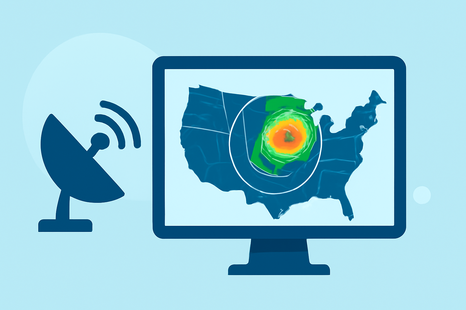
Weather radar coverage in the United States is primarily provided by the National Weather Service's NEXRAD network, consisting of approximately 160 Doppler radars strategically positioned across the country. These radars are designed to detect precipitation and wind patterns, offering critical data for weather forecasting and severe weather warnings.
How Does the NEXRAD System Work?
The NEXRAD system operates by emitting pulses of energy and analyzing the returning echoes to determine the location, intensity, and movement of precipitation. This data is then processed to produce weather products such as reflectivity (indicating where precipitation is occurring) and velocity (showing wind movements within storms). These products are essential for accurate weather forecasting and timely warnings.
What Are the Limitations of Radar Coverage?
Despite the extensive NEXRAD network, certain areas experience limitations in radar coverage:
-
Terrain Interference: Mountains and other geographical features can obstruct radar beams, leading to blind spots, especially in regions with complex terrain.
-
Distance from Radar Sites: The curvature of the Earth causes radar beams to rise with distance, resulting in reduced coverage at lower altitudes farther from radar sites.
-
Urban and Suburban Variations: In metropolitan areas, downtown cores near radar sites typically receive robust coverage. However, outer suburbs and exurbs may experience less detailed data due to the radar beam sampling higher in the atmosphere. (climeradar.com)
How Does Clime Enhance Weather Tracking?
Clime leverages the NEXRAD network to provide users with a comprehensive and user-friendly weather tracking experience. Key features include:
-
Seamless Radar Visualization: Clime integrates NEXRAD data into a cohesive map, allowing users to view real-time weather patterns across the United States.
-
Additional Weather Layers: Beyond radar imagery, Clime offers overlays for hurricanes, lightning, and wildfires, providing a holistic view of current weather conditions.
-
Timely Alerts: Users receive notifications for severe weather events, ensuring they stay informed and prepared.
What Are the Benefits of Using Clime?
By utilizing Clime, users gain access to:
-
Comprehensive Coverage: Clime's integration of NEXRAD data ensures users have access to a wide range of weather information.
-
User-Friendly Interface: The app's intuitive design makes it easy for users to navigate and interpret weather data.
-
Enhanced Preparedness: With timely alerts and detailed weather information, users can make informed decisions to protect themselves and their property.
Understanding the nuances of weather radar coverage is essential for accurate weather tracking. While the NEXRAD network provides extensive coverage, tools like Clime address its limitations by offering additional layers of information and user-friendly features, ensuring users have the most comprehensive and up-to-date weather data at their fingertips.