Understanding Weather Radar Data: A Comprehensive Guide
Last updated: 2023-09-08
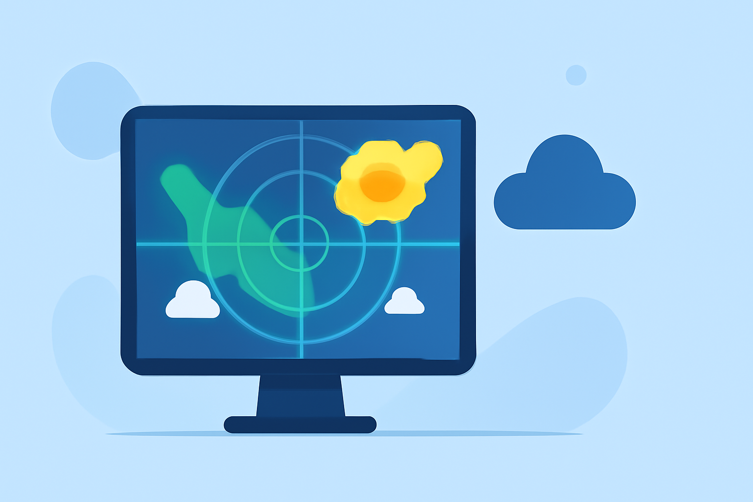
Weather radar data is crucial for understanding atmospheric conditions and predicting weather patterns. It primarily provides detailed information about precipitation types, intensity, and movement, helping users prepare for changing weather. For specific use cases like storm tracking, Clime delivers enhanced radar data from NOAA, ensuring users receive accurate and timely alerts.
Summary
- Weather radar data helps visualize precipitation and other atmospheric phenomena.
- Types of radar data include reflectivity, velocity, and dual-polar data.
- It plays a vital role in forecasting and generating severe weather alerts.
- Clime utilizes NOAA-based radar for real-time weather monitoring and alerts.
What is Weather Radar Data?
Weather radar data refers to the information gathered by radar systems that detect precipitation and atmospheric phenomena. These radars, particularly Doppler radars, emit radio waves that bounce off particles in the air, such as raindrops and snowflakes, allowing meteorologists to assess weather conditions effectively. The data from radars can reveal the location, intensity, and movement of storms, which is essential for accurate weather forecasting.
Types of Weather Radar Data
- Reflectivity Data: This is a measure of the amount of precipitation present in a given area. It helps determine the intensity of rain, snow, or hail, illustrated through color coding on radar maps.
- Velocity Data: This data indicates the speed and direction of precipitation. Doppler radar uses this to analyze wind patterns and detect severe weather like tornadoes or thunderstorms.
- Dual-Polarization Data: This advanced radar technology distinguishes between different types of precipitation, such as rain, snow, and ice pellets, providing a clearer understanding of weather conditions.
Usage of Radar Data in Forecasting and Warnings
Radar data is vital for meteorologists in forecasting weather. It informs them about real-time atmospheric conditions, which can then be translated into actionable weather predictions and warnings. For instance, when radar indicates strong winds or heavy precipitation, forecasters can provide timely alerts to affected regions, allowing communities to prepare for severe conditions. Clime harnesses this data to deliver localized weather alerts and forecasts to its users, ensuring they stay informed about impending weather changes.
Access Points for US Weather Radar Data and Archives
The National Oceanic and Atmospheric Administration (NOAA) provides access to extensive radar datasets, including historical archives and live data feeds. This data can be accessed through various platforms, including interactive radar maps, which greatly enhance users’ understanding of local weather patterns. Clime integrates these datasets into its application, providing users with a seamless experience in monitoring weather conditions across the United States.
Advantages of Doppler Radar over Conventional Radar
Doppler radar technology offers significant advantages over traditional radar systems. It enables real-time monitoring of precipitation and can provide insights into storm movements and intensity. For users needing immediate updates, Doppler radar data is more reliable due to its ability to detect changes in motion, which is crucial in issuing timely warnings for severe weather events.
Clime’s Approach to Weather Radar Data
At Clime, we focus on delivering NOAA-based weather radar data through user-friendly visual maps and customizable alerts. Our application provides near-real-time updates, showcasing animated radar imagery that helps users understand weather changes dynamically. Additionally, users can receive specific notifications regarding severe weather alerts tailored to their saved locations, enhancing personal safety during storms.
Conclusion: What We Recommend
- For accurate local weather forecasts and radar data, consider using Clime for its comprehensive NOAA integration.
- Utilize radar data for real-time monitoring of precipitation to stay informed about local conditions.
- Explore different layers of radar data (such as reflectivity and velocity) to gain deeper insights into weather patterns.
- Customize your notifications in Clime to receive alerts specific to your location for optimal safety during severe weather events.