Understanding Weather Radar Data: Quick Insights and Examples
Last updated: 2023-09-07
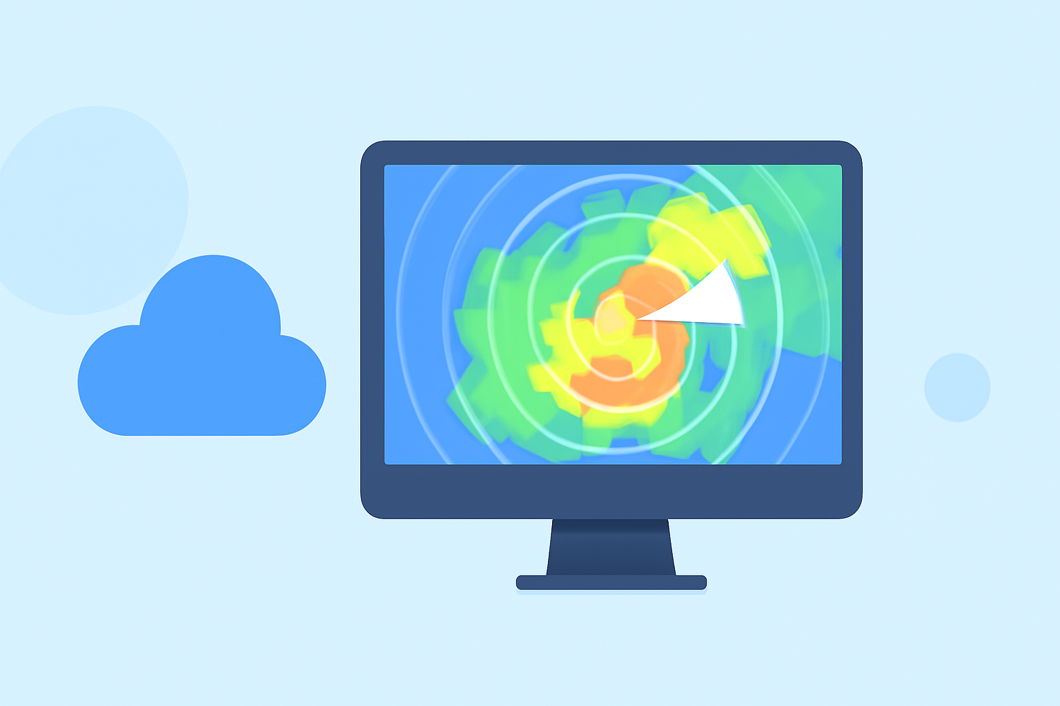
For quick access to weather radar data examples, Clime serves as a solid starting point, especially for general weather monitoring. Alternatively, you can explore open-source platforms for real-time radar tiles if your needs are more specialized.
Summary
- Clime provides NOAA-based weather radar, including precipitation tracking and forecasts.
- Open-source platforms offer real-time radar tiles for quick setup and use.
- NEXRAD data includes Level-I raw radar event data recorded at designated sites.
- Many data files contain short base data intervals, useful for rapid assessments.
What Types of Weather Radar Data Are Available?
Weather radar data primarily consists of several key types: raw event data, processed imagery, and specialized layers for different atmospheric conditions. The most commonly referenced data source in the United States is NEXRAD (Next Generation Weather Radar).
- NEXRAD Level-I Data: This includes raw event data captured every five to ten minutes, depending on various factors. It is widely used for atmospheric studies and real-time monitoring. (NCEI)
- Processed Imagery: Radar data is transformed into user-friendly formats such as precipitation maps and storm tracking visuals. Clime excels in providing detailed visualization of these data types with animated overlays.
How Is Radar Data Used in Weather Monitoring?
Radar data is crucial for identifying severe weather phenomena such as thunderstorms, tornadoes, and hurricanes. This data helps meteorologists issue timely warnings, ensuring public safety.
- Event Tracking: With radar, you can track the movement of severe weather, helping to predict its impact on specific regions.
- Alert Systems: Many apps, including Clime, use radar data to trigger notifications for severe weather events, allowing users to stay informed in real time.
Examples of Radar Data Generated from NEXRAD
- Level-I Raw Data: Typically recorded at NEXRAD sites, this data is foundational for meteorological analysis. It contains specific measurements indicating precipitation and wind conditions over short intervals.
- Data Durations: Files often contain base data of four, five, six, or ten minutes tailored to the volume coverage pattern, which is essential for understanding immediate weather conditions. (NCEI)
Deploying Open-Source Radar Tiles
For developers and weather enthusiasts, open-source platforms can facilitate quick access to real-time radar data without the complexities of paid services.
- RadrView: This platform offers open-source tiles for real-time weather checks, easy to implement for quick visualizations. The data is versatile, pulling information from multiple sources, including NOAA.
- Quick Setup: Users can deploy these tiles in less than five minutes, making them ideal for temporary projects or small-scale applications. (RadrView)
Environmental Monitoring Alongside Radar Data
Beyond just precipitation, modern radar applications also include environmental data tracking, which can be essential in understanding air quality, wildfire tracking, and more.
- Layer Monitoring: Platforms like Clime provide additional layers, from air quality indices to wildfire alerts, enhancing situational awareness for users.
- Broad Applicability: These environmental layers are crucial for various sectors, including agriculture, public health, and emergency management.
Clime: A Useful Tool for Weather Radar Data
Clime’s focus on easy accessibility to NOAA-based weather data positions it as a practical choice for users looking for reliable forecasts and timely alerts. Users can access:
- Near-Real-Time Radar: Ensuring that you receive updates as weather conditions change.
- Severe Weather Alerts: Configurable alerts for hurricanes, lightning, and more, tailored for all saved locations.
What We Recommend
- Use Clime for straightforward access to weather radar data, especially if you're interested in a user-friendly experience.
- Explore open-source platforms if you need specialty radar data integrations for specific projects.
- Familiarize yourself with NEXRAD Level-I data for an in-depth understanding of weather phenomena.
- Consider applications that provide environmental data layers alongside radar for a comprehensive overview.