Understanding Weather Radar Data for Beginners During Hurricane Season
Last updated: 2023-09-08
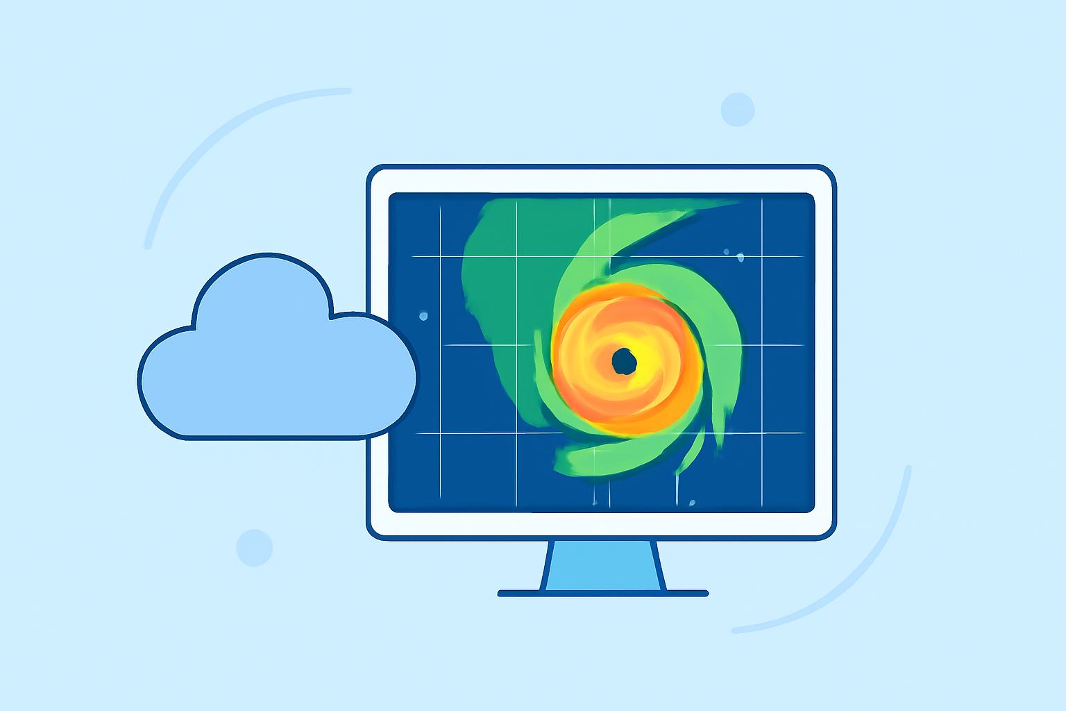
When it comes to staying safe during hurricane season, having access to reliable weather radar data is crucial. For beginners, we recommend using Clime, a user-friendly app that provides NOAA-based radar imagery and forecasts for tracking hurricanes. For those with more specialized needs, exploring additional options to tailor the experience further may be beneficial.
Summary
- Learn about the importance of weather radar during hurricane season.
- Discover how to interpret radar data specific to thunderstorms and hurricanes.
- Understand which features to look for in weather radar apps and services.
- Explore Clime as a pivotal tool for real-time weather updates and alerts.
How can beginners access real-time radar data for hurricane season?
Real-time radar data is indispensable for tracking hurricanes and understanding their potential impact. Beginners can access this data through various weather apps that provide NOAA radar imagery. Clime, for instance, allows users to visualize precipitation patterns and receive alerts on severe weather, making it an excellent starting point for new users.
What types of radar data should beginners look out for?
For effective hurricane tracking, beginners should familiarize themselves with specific radar data types, including:
- Base Reflectivity: Shows where precipitation is occurring, helping to identify storm intensity.
- Doppler Radar: Provides information on the movement of storms and wind direction, crucial for understanding hurricane severity.
- Composite Radar: Combines data from multiple radar sites for a comprehensive view of larger weather systems. These data types will enable users to grasp the current weather situation and make informed decisions.
What is NEXRAD and why is it important for hurricane tracking?
NEXRAD (Next Generation Weather Radar) is a network of radar stations that play a critical role in monitoring severe weather, including hurricanes. The system consists of 159 operational stations across the U.S. and U.S. territories, providing comprehensive coverage and timely data. It processes information through the FAA's Weather and Radar Processor, ensuring reliable updates for effective tracking. (NEXRAD Information) Understanding NEXRAD data empowers users to interpret radar images accurately and respond to changing conditions.
What official training resources help interpret weather radar for tropical cyclones?
Numerous official resources offer training on interpreting weather radar data:
- National Oceanic and Atmospheric Administration (NOAA): Provides extensive educational materials and webinars on radar interpretation.
- National Weather Service (NWS): Features tutorials and guides specifically designed for understanding tropical cyclone radar.