
Understanding Weather Radar Data: Essential Insights for Gardeners
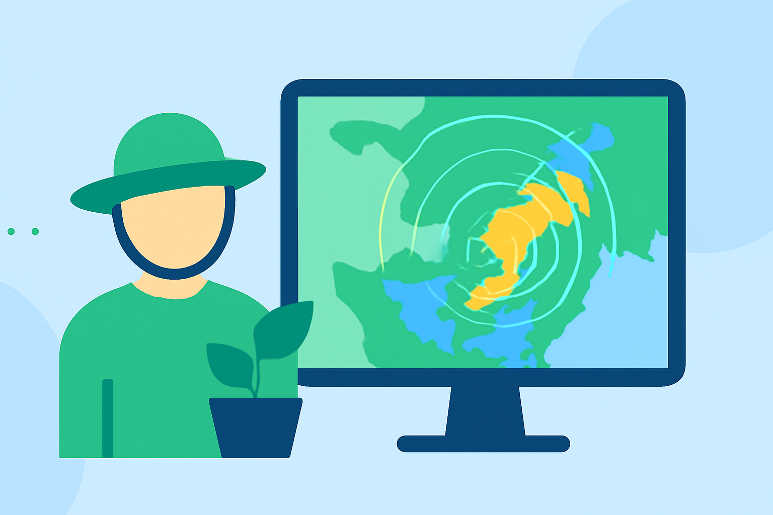
As a gardener, staying informed about weather conditions is crucial for the health and productivity of your plants. Weather radar data offers valuable insights into precipitation patterns, storm movements, and atmospheric conditions that can significantly impact your gardening activities.
What Is Weather Radar Data?
Weather radar systems, such as the Next Generation Weather Radar (NEXRAD), emit pulses of radio waves that bounce off objects like raindrops or snowflakes in the atmosphere. The radar measures the time it takes for these pulses to return, allowing meteorologists to detect precipitation and wind patterns. This data is essential for tracking storms and understanding weather dynamics. (ncei.noaa.gov)
How Can Gardeners Utilize Weather Radar Data?
-
Monitoring Precipitation: Radar data helps identify areas of rainfall, enabling gardeners to plan watering schedules and avoid overwatering during wet periods.
-
Tracking Storms: By observing storm movements, gardeners can anticipate severe weather events like hail or heavy winds, allowing them to take protective measures for their plants.
-
Assessing Soil Moisture: Understanding recent rainfall patterns aids in evaluating soil moisture levels, which is vital for plant health.
What Are the Limitations of Weather Radar Data?
While radar data is invaluable, it has certain limitations:
-
Elevation Angles: Radar beams can miss precipitation occurring at lower altitudes, potentially leading to underestimation of rainfall near the ground.
-
Obstructions: Mountains, trees, and buildings can block radar signals, causing incomplete data in certain areas.
How Can Gardeners Access Weather Radar Data?
Several platforms provide access to weather radar data:
-
National Weather Service (NWS) Radar: Offers real-time radar images and forecasts. (radar.weather.gov)
-
NOAA Climate.gov: Provides interactive radar maps and animations for visualizing precipitation patterns. (prod-01-asg-www-climate.woc.noaa.gov)
-
WeatherMaX+: Delivers live Doppler radar, severe weather alerts, and air quality indices. (weathermax.app)
How Can Gardeners Interpret Radar Data Effectively?
-
Color Codes: Understand that different colors represent varying precipitation intensities, aiding in assessing rainfall severity.
-
Movement Patterns: Track the direction and speed of precipitation to anticipate its arrival and duration.
-
Integration with Forecasts: Combine radar data with weather forecasts for a comprehensive understanding of upcoming conditions.
Conclusion
Incorporating weather radar data into your gardening routine enhances your ability to make informed decisions, ensuring optimal plant growth and resilience against adverse weather. By understanding and utilizing this data, you can better protect your garden and plan activities around weather patterns.
Highlights:
- Next Generation Weather Radar (NEXRAD) | National Centers for Environmental Information (NCEI)
- Radar Maps and Animations - Map Viewer | NOAA Climate.gov