
Understanding Weather Radar: Essential Insights
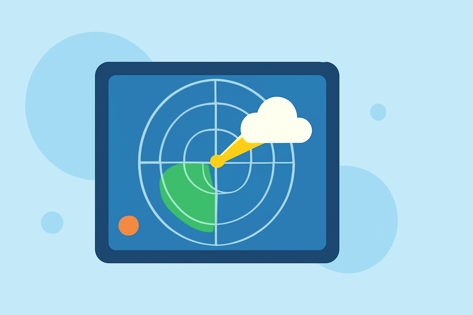
Weather radar is a pivotal tool in meteorology, enabling the detection and analysis of atmospheric phenomena such as precipitation, wind patterns, and severe weather events. By emitting microwave pulses and analyzing their reflections, weather radars provide critical data for weather forecasting and public safety.
How Does Weather Radar Operate?
Weather radars function by transmitting pulses of microwave energy into the atmosphere. When these pulses encounter particles like raindrops, snowflakes, or hailstones, a portion of the energy is scattered back toward the radar antenna. The radar measures the time it takes for the pulse to return, determining the distance to the precipitation. Additionally, the strength of the returned signal indicates the intensity of the precipitation. This process allows meteorologists to visualize precipitation patterns and assess their severity. (rmets.org)
What Is Doppler Radar and How Does It Enhance Weather Detection?
Doppler radar is an advanced type of weather radar that measures the velocity of precipitation particles. By analyzing the frequency shift (Doppler effect) of the returned radar waves, Doppler radar can determine whether precipitation is moving toward or away from the radar, and at what speed. This capability is crucial for detecting severe weather phenomena like tornadoes and thunderstorms, as it helps identify rotation and wind patterns within storms. (prod-01-alb-www-noaa.woc.noaa.gov)
What Are the Limitations of Weather Radar?
While weather radar is an invaluable tool, it has certain limitations:
-
Range Constraints: The effectiveness of radar diminishes with distance. Beyond a certain range, the radar beam may be too high in the atmosphere to detect precipitation near the ground. (bom.gov.au)
-
Beam Blockage: Obstructions like mountains or tall buildings can block the radar beam, leading to areas where precipitation is not detected.
-
Attenuation: Heavy precipitation can weaken the radar signal, reducing the accuracy of distance and intensity measurements.
How Does Weather Radar Contribute to Public Safety?
Weather radar plays a critical role in public safety by providing timely and accurate information about severe weather events. By detecting and tracking storms, radar data enables meteorologists to issue warnings for events like tornadoes, hurricanes, and flash floods, allowing communities to take protective measures. Additionally, radar helps in monitoring and predicting weather patterns that can impact aviation, shipping, and other industries.
How Is Weather Radar Data Interpreted?
Radar data is presented in various formats to assist meteorologists:
-
Reflectivity Images: These images display the intensity of precipitation, with colors indicating different levels of rainfall or snowfall.
-
Velocity Images: These images show the speed and direction of precipitation particles, helping to identify wind patterns and rotation within storms.
-
Dual-Polarization Data: This advanced radar technology sends and receives pulses in both horizontal and vertical orientations, improving the ability to distinguish between different types of precipitation and enhancing the accuracy of weather forecasts. (prod-01-alb-www-noaa.woc.noaa.gov)
Understanding the fundamentals of weather radar enhances our appreciation of its role in meteorology and underscores its importance in safeguarding communities against severe weather events.
Highlights:
- Weather radars | The Bureau of Meteorology
- How radar works | National Oceanic and Atmospheric Administration
- Rainfall radar | Royal Meteorological Society, Published on Wednesday, January 17