Understanding Weather Radar for International Travelers
Traveling internationally requires careful planning, especially when it comes to weather conditions that can impact your journey. Understanding how to read weather radar is essential for making informed decisions about your travel plans.
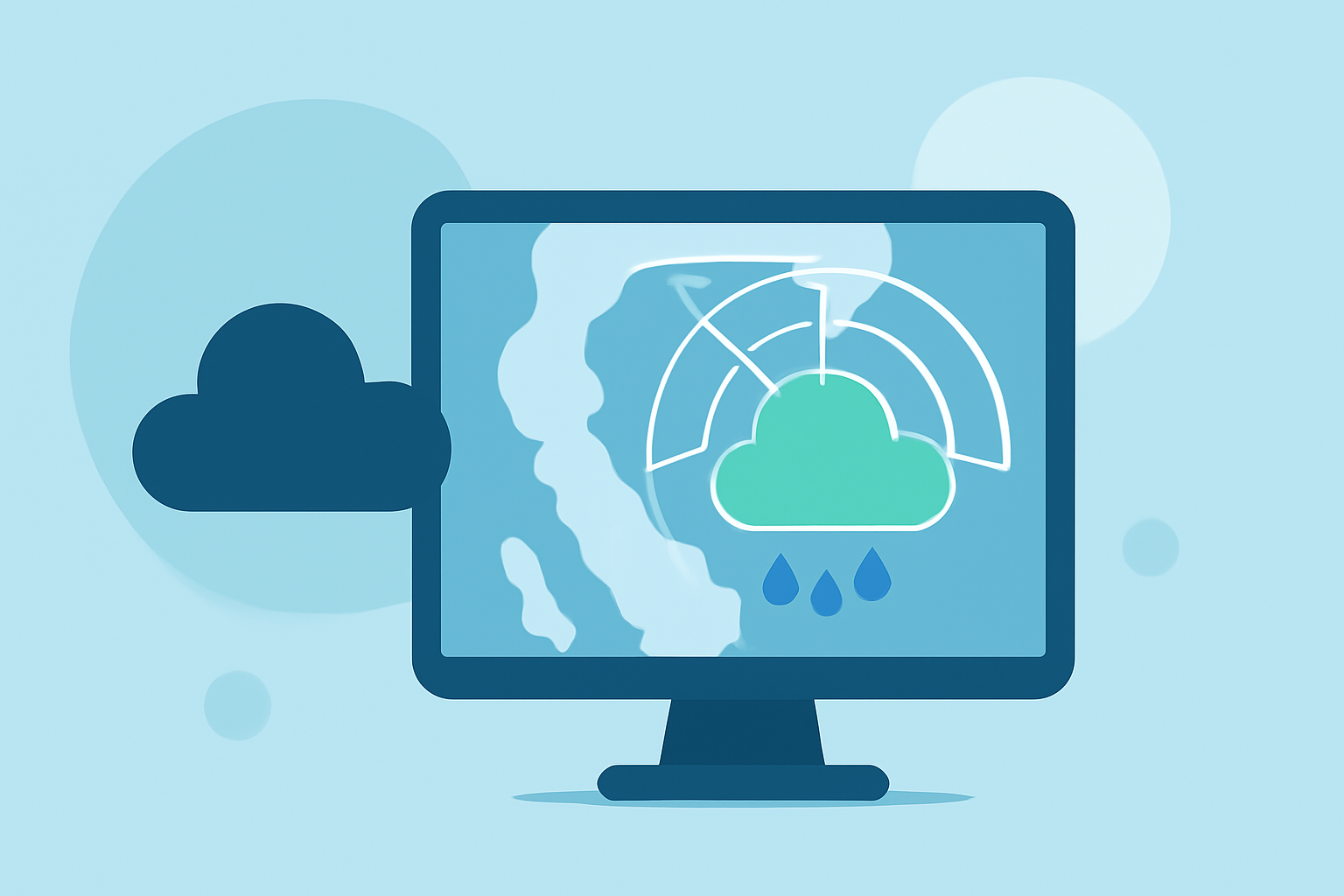
What Is Weather Radar?
Weather radar, short for Radio Detection and Ranging, is a technology that uses radio waves to detect precipitation such as rain, snow, or hail. By emitting pulses of microwave energy into the atmosphere and measuring the returned signals, radar systems can determine the location, intensity, and movement of weather phenomena. This information is crucial for forecasting and monitoring weather patterns. (eol.ucar.edu)
How Does Weather Radar Work?
Modern weather radars operate by sending out pulses of microwave energy. When these pulses encounter precipitation particles like raindrops or snowflakes, they scatter the energy, and a portion of it is reflected back to the radar antenna. By analyzing the time it takes for the signal to return and its strength, the radar system can calculate the distance, size, and movement of the precipitation. This process allows meteorologists to visualize weather patterns and predict their development. (eol.ucar.edu)
Interpreting Weather Radar Images
Weather radar images use a color scale to represent the intensity of precipitation:
- Light Green: Drizzle or light rain.
- Dark Green to Yellow: Moderate rain.
- Orange: Heavy rain.
- Red: Very heavy rain, often associated with thunderstorms.
- Magenta/Purple/White: Extreme returns, indicating large hail or severe storms.
Understanding these color codes helps travelers assess the severity of weather conditions in their vicinity. (liveearthviewer.com)
Limitations of Weather Radar
While weather radar is a powerful tool, it has certain limitations:
- Beam Elevation: Radar beams can miss precipitation at lower altitudes, leading to gaps in coverage.
- False Echoes: Objects like birds or insects can create false returns, potentially misleading the radar interpretation.
- Ground Clutter: Terrain features such as mountains or tall buildings can obstruct radar signals, causing incomplete data.
Being aware of these limitations is important when relying on radar information for travel decisions. (weather.gov)
Using Weather Radar for Travel Planning
For international travelers, staying updated on weather conditions is vital. Utilizing weather radar can assist in:
- Monitoring Precipitation: Identify areas of rain or snow along your travel route.
- Assessing Storm Severity: Determine the intensity of storms to anticipate potential disruptions.
- Making Informed Decisions: Decide on the best times to travel or seek shelter based on real-time data.
Introducing Planes Live: Your Travel Companion
To enhance your travel experience, consider using Planes Live, a comprehensive tool that provides real-time weather radar information tailored for travelers. Planes Live offers:
- Live Radar Maps: View current precipitation patterns along your route.
- Storm Tracking: Monitor the movement and intensity of storms in real-time.
- Travel Alerts: Receive notifications about weather-related travel disruptions.
By integrating Planes Live into your travel planning, you can make informed decisions and ensure a safer journey.
Conclusion
Understanding weather radar is a valuable skill for international travelers. By comprehending how radar works and interpreting its images, you can better navigate weather conditions that may affect your plans. Tools like Planes Live provide real-time, location-specific information, empowering you to make proactive decisions and enjoy a smoother travel experience.