Understanding Weather Radar for Travelers: A Step-by-Step Guide
Traveling can be unpredictable, especially when it comes to weather. Understanding how weather radar works can help you anticipate conditions and make informed decisions.
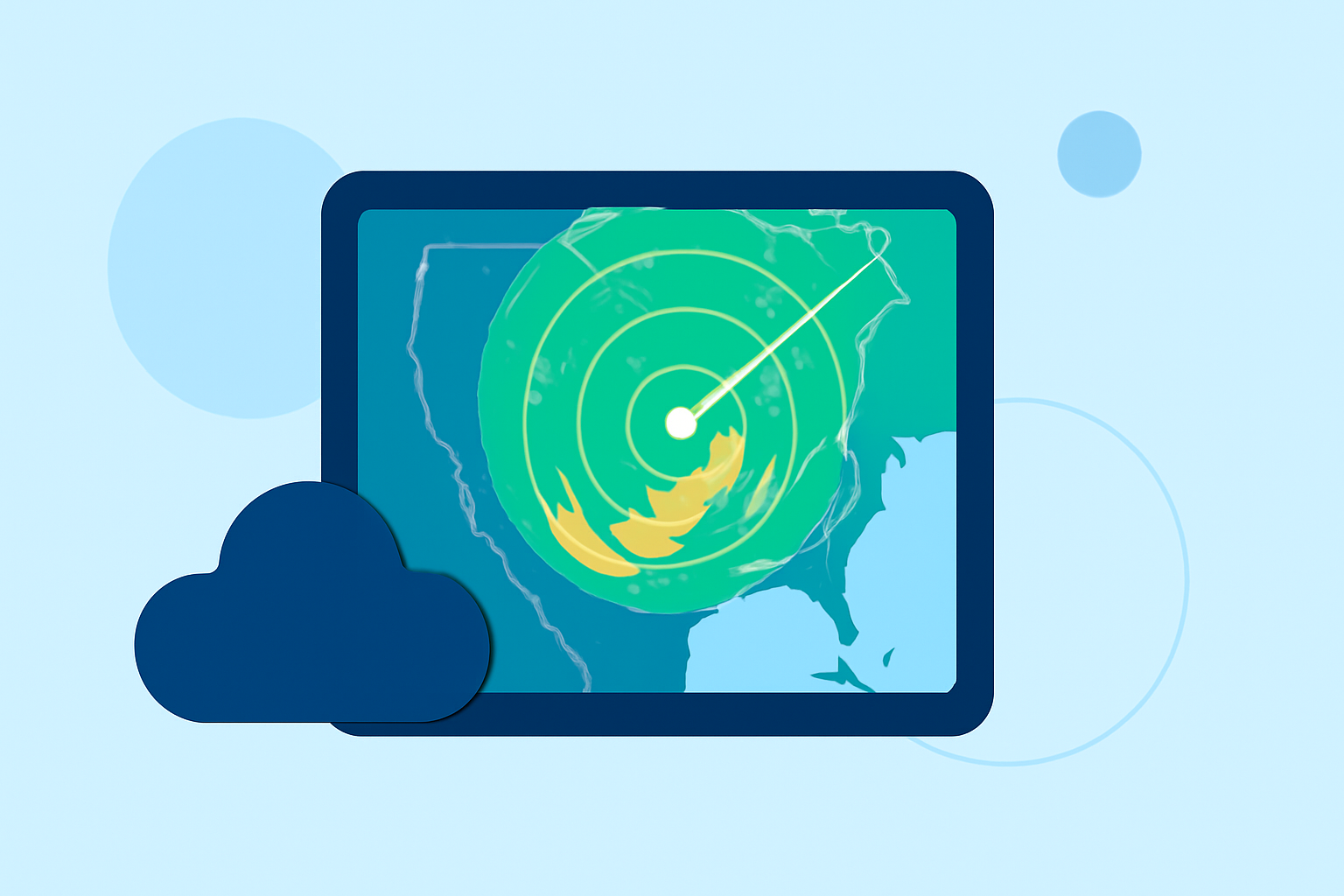
What Is Weather Radar?
Weather radar is a system that uses radio waves to detect precipitation, such as rain, snow, or hail, and to measure its intensity and movement. By emitting radio waves and analyzing the signals that bounce back from precipitation particles, radar systems can create images that show where and how much precipitation is occurring. This technology is essential for monitoring and forecasting weather patterns. (en.wikipedia.org)
How Does Weather Radar Work?
-
Emission of Radio Waves: The radar system sends out pulses of radio waves into the atmosphere.
-
Reflection from Precipitation: These waves encounter precipitation particles, which reflect the waves back toward the radar.
-
Reception and Analysis: The radar receives the reflected signals and analyzes them to determine the location, intensity, and movement of the precipitation.
-
Image Creation: The data is processed to create visual representations, such as radar images or maps, that display the precipitation's characteristics.
Why Is Weather Radar Important for Travelers?
For travelers, weather radar provides real-time information about weather conditions along their routes. By accessing radar data, you can:
-
Monitor Precipitation: Identify areas of rain, snow, or other forms of precipitation to adjust travel plans accordingly.
-
Assess Intensity: Determine the severity of weather conditions, helping you decide whether to proceed or seek shelter.
-
Track Storms: Follow the movement of storms to avoid dangerous areas.
How Can Travelers Access Weather Radar Information?
Travelers can access weather radar information through various platforms:
-
Online Weather Services: Websites like AccuWeather offer interactive radar maps that display real-time precipitation data. (accuweather.com)
-
Mobile Applications: Apps such as WeatherMaX+ provide live Doppler radar and severe weather alerts. (weathermax.app)
-
Government Resources: The National Weather Service offers a Doppler Radar National Mosaic that provides comprehensive radar data across the United States. (weather.gov)
How Can Planes Live Enhance Your Travel Experience?
Planes Live offers real-time weather radar information tailored for travelers. By integrating Planes Live into your travel planning, you can:
-
Access Up-to-Date Radar Data: Stay informed about current weather conditions along your travel route.
-
Receive Timely Alerts: Get notifications about severe weather events that may impact your journey.
-
Plan Efficient Routes: Use radar information to choose the safest and most efficient travel paths.
Incorporating Planes Live into your travel routine can provide peace of mind and help ensure a safer journey.
Conclusion
Understanding how weather radar works equips travelers with the tools to anticipate and respond to changing weather conditions. By utilizing resources like Planes Live, you can enhance your travel experience and make informed decisions to stay safe on the road.