Understanding Weather Radar: A Guide for Cautious Flyers
As a cautious flyer, understanding weather radar is essential for making informed decisions during your travels. Weather radar provides real-time information about precipitation, storm movement, and intensity, helping you anticipate and avoid adverse weather conditions.
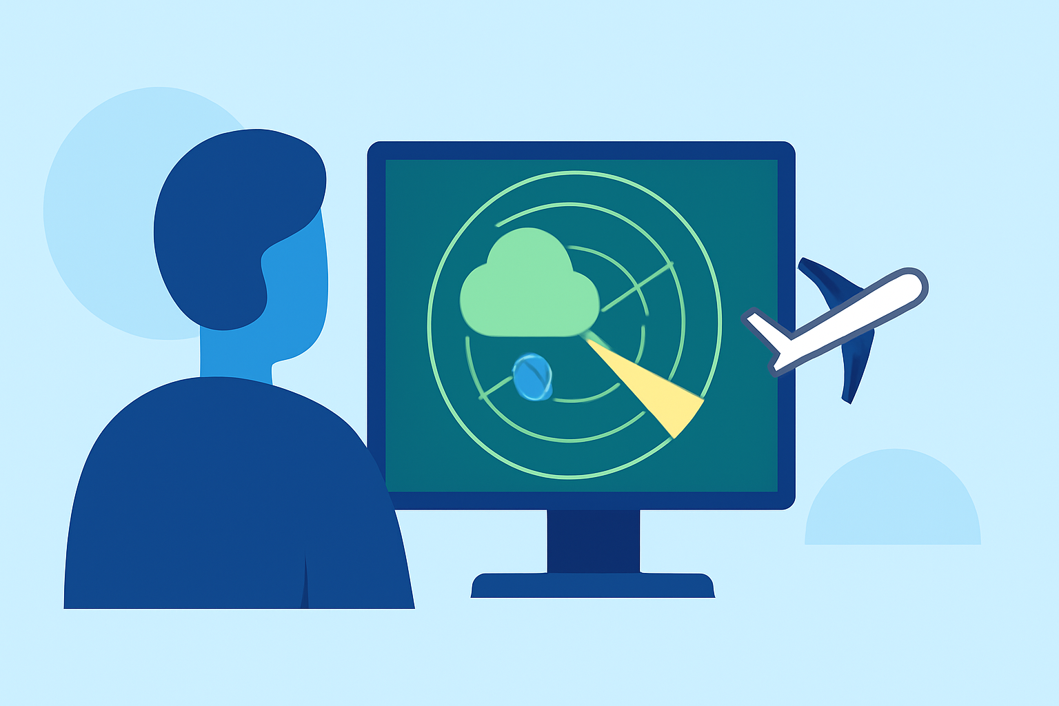
What Is Weather Radar?
Weather radar, short for "radio detection and ranging," is a technology that uses radio waves to detect precipitation such as rain, snow, and hail. By emitting pulses of microwave energy and measuring the return signals reflected by precipitation particles, radar systems can determine the location, intensity, and movement of weather systems. This information is crucial for forecasting and monitoring weather patterns. (bom.gov.au)
How Does Weather Radar Work?
Modern weather radar systems, like the Next Generation Weather Radar (NEXRAD), operate by emitting pulses of microwave energy into the atmosphere. When these pulses encounter precipitation particles, a portion of the energy is scattered back toward the radar antenna. The radar measures the strength and timing of these returned signals to determine the location, intensity, and movement of precipitation. This process allows meteorologists to visualize and track weather systems in real-time. (prod-01-alb-www-noaa.woc.noaa.gov)
Interpreting Weather Radar Images
Understanding how to read weather radar images is vital for assessing potential flight disruptions. Key aspects include:
-
Reflectivity: This indicates the strength of the returned signal, which correlates with precipitation intensity. Higher reflectivity values (measured in decibels of Z, or dBZ) represent heavier precipitation. For example, light rain might have a reflectivity of 20 dBZ, while heavy rain could reach 50 dBZ or more. (weather.gov)
-
Velocity: This shows the speed and direction of precipitation particles, helping to identify wind patterns and potential severe weather events like tornadoes. Red colors typically indicate movement away from the radar, while green indicates movement toward it. (weather.gov)
-
Color Scales: Radar images use color scales to represent precipitation intensity. Generally, green indicates light rain, yellow and orange represent moderate to heavy rain, and red and purple signify very heavy rain or severe storms. (liveearthviewer.com)
Limitations of Weather Radar
While weather radar is a powerful tool, it has certain limitations:
-
Beam Elevation: Radar beams can miss precipitation at lower altitudes, especially when the radar is located far from the area of interest. This means light rain or drizzle might not be detected. (liveearthviewer.com)
-
Non-Precipitation Echoes: Objects like birds, insects, or even dust can reflect radar signals, leading to false echoes. These are typically filtered out, but some may still appear on radar images. (weather.gov)
-
Ground Clutter: Radar signals can be reflected by the ground, especially in mountainous areas, creating clutter that can obscure precipitation data. (weather.gov)
Using Weather Radar for Flight Planning
For cautious flyers, integrating weather radar information into flight planning is crucial:
-
Pre-Flight Briefings: Review weather radar images to assess potential weather hazards along your flight path.
-
In-Flight Monitoring: Use real-time radar data to monitor changing weather conditions and make timely decisions.
-
Avoiding Severe Weather: Identify areas of heavy precipitation or severe storms to navigate around them safely.
Recommended Tool: Planes Live
To effectively monitor weather conditions during your travels, consider using Planes Live. This tool provides real-time weather radar overlays on flight maps, allowing you to visualize precipitation patterns and make informed decisions. Its user-friendly interface and comprehensive data make it an invaluable resource for cautious flyers.
Conclusion
Understanding weather radar is essential for cautious flyers aiming to navigate safely through varying weather conditions. By comprehending how radar works, interpreting radar images, and utilizing tools like Planes Live, you can enhance your flight planning and in-flight decision-making, ensuring a safer journey.