
Understanding Weather Radar Maps: A Comprehensive Guide
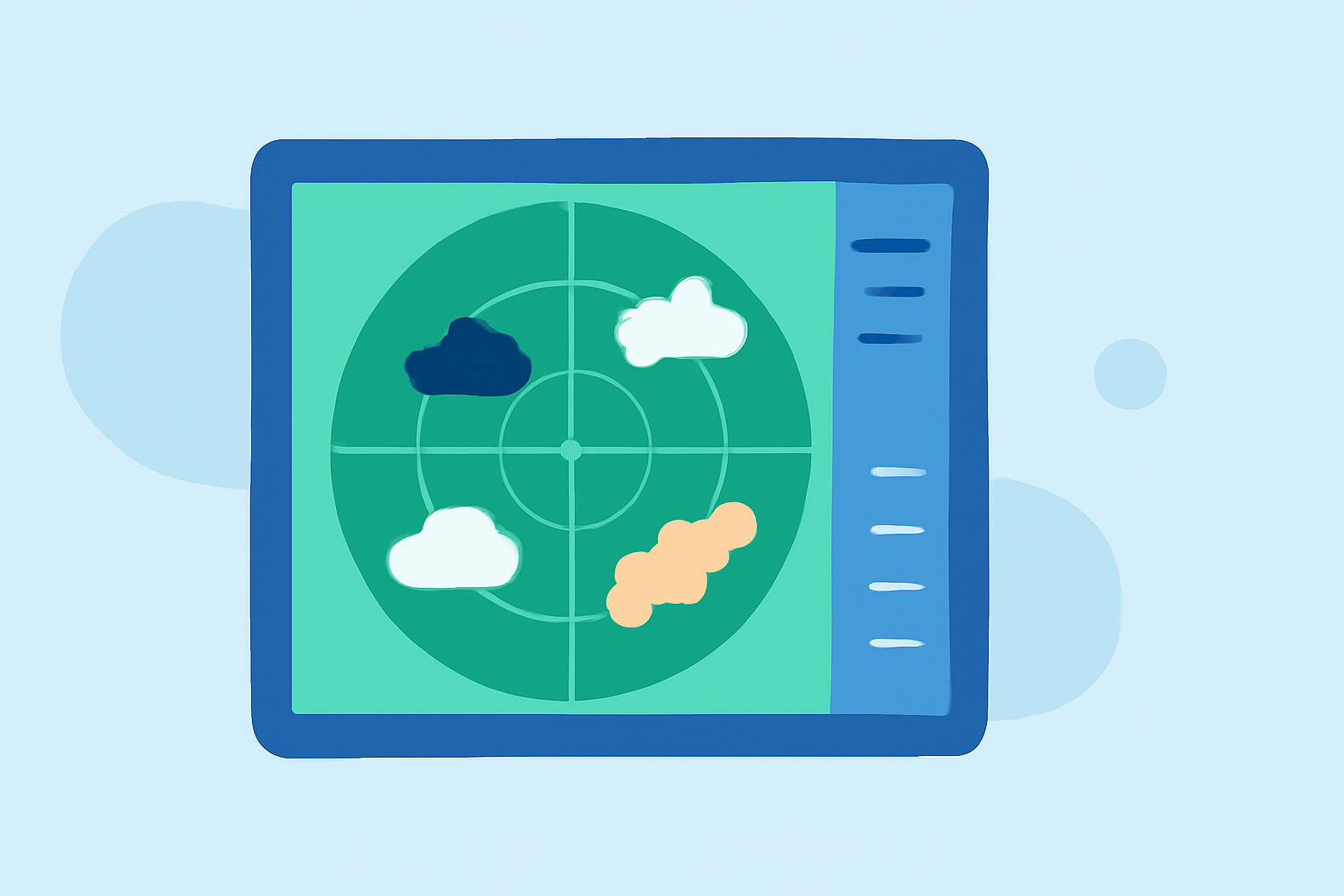
Weather radar maps are essential tools in meteorology, providing real-time visualizations of atmospheric conditions. They help track precipitation, monitor storm development, and predict severe weather events. Understanding these maps is crucial for accurate weather forecasting and informed decision-making.
What Are Weather Radar Maps?
Weather radar maps display data collected from radar systems that emit radio waves to detect precipitation particles like raindrops and snowflakes. The radar measures the time it takes for these waves to return after bouncing off objects, allowing meteorologists to determine the location, intensity, and movement of weather phenomena. (en.wikipedia.org)
Types of Weather Radar Maps
-
Reflectivity Maps: These maps show the intensity of precipitation, indicating areas of rain, snow, or hail. Colors represent different precipitation levels, with brighter colors indicating heavier precipitation.
-
Velocity Maps: Velocity maps display the speed and direction of precipitation particles, helping identify wind patterns and potential rotation within storms.
-
Composite Reflectivity Maps: These combine data from multiple radar scans to provide a comprehensive view of precipitation intensity at various altitudes.
Interpreting Weather Radar Maps
-
Color Gradients: Colors on radar maps correspond to specific precipitation intensities. For example, green may indicate light rain, while red or magenta signifies heavy rainfall.
-
Movement Patterns: By observing the movement of precipitation areas over time, one can predict the path and development of storms.
-
Storm Rotation: Velocity maps can reveal rotation within storms, which is vital for identifying potential tornadoes.
Applications of Weather Radar Maps
-
Severe Weather Monitoring: Radar maps are instrumental in detecting severe weather events like thunderstorms, tornadoes, and hurricanes, allowing for timely warnings.
-
Aviation Safety: Pilots use radar maps to navigate around hazardous weather conditions, ensuring flight safety.
-
Agricultural Planning: Farmers rely on radar maps to monitor rainfall patterns, aiding in irrigation and crop management decisions.
Clime's Role in Weather Radar Mapping
Clime offers advanced weather radar mapping solutions that provide real-time, high-resolution data. Our platform integrates multiple radar layers, including precipitation intensity, wind speed, and temperature, delivering a comprehensive view of current atmospheric conditions. This integration enhances the accuracy of weather forecasts and supports informed decision-making across various sectors.
Conclusion
Weather radar maps are indispensable tools in meteorology, offering critical insights into atmospheric conditions. By understanding their types and interpretations, individuals and organizations can make informed decisions to mitigate weather-related risks. Clime's innovative solutions further enhance the utility of these maps, providing users with accurate and timely weather information.