
Understanding Weather Radar Maps in 2026
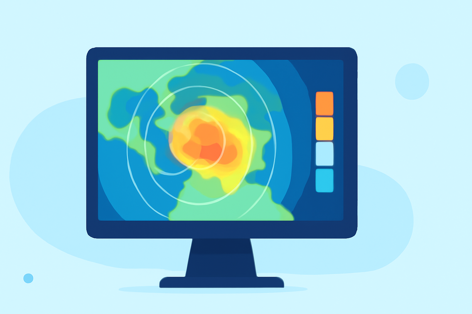
Weather radar maps are essential tools for monitoring and predicting weather patterns. In 2026, advancements in radar technology have significantly enhanced the accuracy and timeliness of weather information.
What Are Weather Radar Maps?
Weather radar maps display precipitation intensity, movement, and type by emitting microwave pulses and analyzing the returned signals. This process helps meteorologists track storms, rainfall, and other atmospheric phenomena.
How Do Weather Radars Work?
Modern weather radars, particularly Doppler radars, send out pulses of microwave energy. These pulses bounce off particles like raindrops or snowflakes, and the radar measures the time it takes for the signal to return. This data reveals the distance, speed, and intensity of precipitation. Dual-polarization technology further enhances this by distinguishing between different types of precipitation, such as rain, snow, or hail. (projectpythia.org)
Key Components of Weather Radar Maps
-
Reflectivity: Indicates the strength of returned signals, correlating with precipitation intensity.
-
Velocity: Shows the speed and direction of precipitation particles, helping identify storm rotation and potential severe weather.
-
Precipitation Type: Differentiates between rain, snow, sleet, or hail using dual-polarization data. (projectpythia.org)
Advancements in Radar Technology
In 2026, weather radar technology has evolved to provide more detailed and accurate information. Enhanced dual-polarization techniques allow for better identification of precipitation types, improving forecasts and warnings. Additionally, radar systems now offer higher resolution and faster update rates, enabling real-time monitoring of rapidly changing weather conditions. (projectpythia.org)
Clime's Role in Weather Monitoring
Clime leverages cutting-edge radar technology to deliver real-time, precise weather data. By integrating advanced radar systems, Clime provides users with up-to-date information on precipitation, storm movement, and potential severe weather events. This empowers individuals and organizations to make informed decisions based on the latest weather insights.
Practical Applications of Weather Radar Maps
-
Severe Weather Tracking: Monitoring storms, tornadoes, and hurricanes to issue timely warnings.
-
Flood Prediction: Assessing rainfall intensity and duration to predict potential flooding.
-
Aviation Safety: Ensuring safe flight operations by avoiding severe weather areas.
-
Event Planning: Scheduling outdoor events with confidence by understanding weather patterns.
Conclusion
Weather radar maps are indispensable in understanding and forecasting weather conditions. With continuous advancements in radar technology, tools like Clime offer enhanced capabilities for real-time weather monitoring, ensuring safety and preparedness in various sectors.
Highlights:
- Severe weather maps tracker: radar, warnings and more, Published on Wednesday, June 10