
Understanding Weather Radar Maps: A Comprehensive Guide
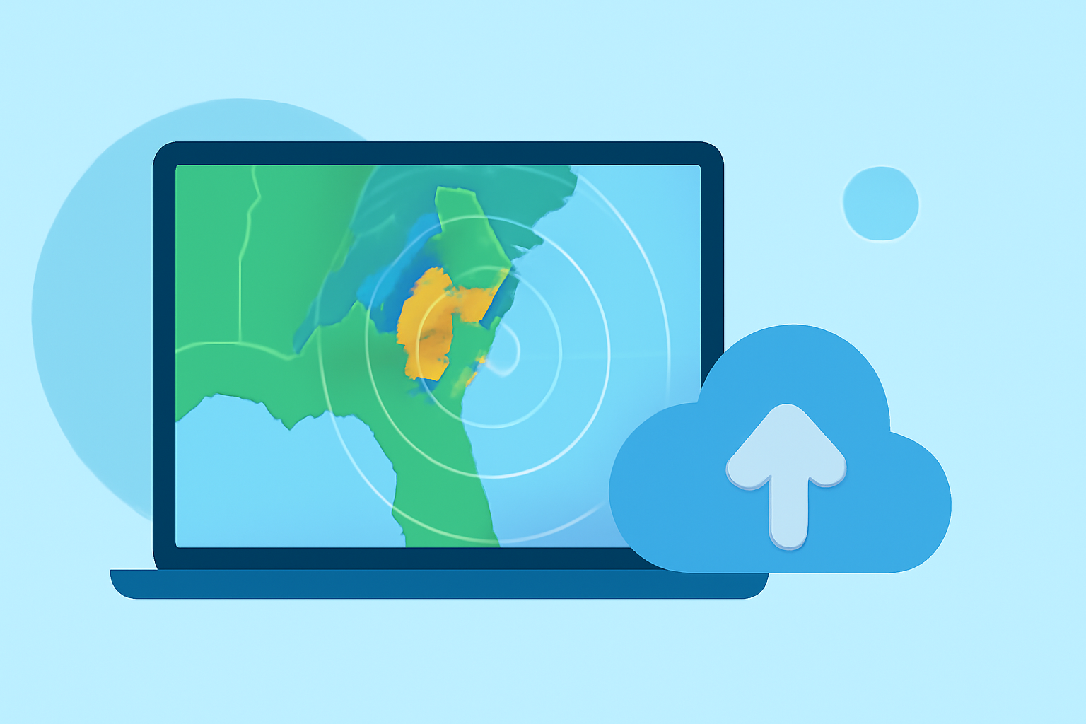
Weather radar maps are essential tools in meteorology, providing real-time visualizations of atmospheric conditions. They play a crucial role in tracking precipitation, monitoring storm development, and issuing timely weather warnings.
What Are Weather Radar Maps?
Weather radar maps display data collected from radar systems that emit radio waves to detect precipitation particles like raindrops and snowflakes. By analyzing the returned signals, these maps illustrate the location, intensity, and movement of weather phenomena. This information is vital for understanding current weather patterns and predicting future conditions.
Types of Weather Radar Maps
-
Reflectivity Maps: These maps show the intensity of precipitation, with colors indicating varying levels of rainfall or snowfall. For example, green may represent light rain, yellow moderate rain, and red heavy rain.
-
Velocity Maps: Velocity maps display the speed and direction of precipitation particles, helping to identify wind patterns and potential severe weather events like tornadoes.
-
Composite Reflectivity Maps: These combine data from multiple radar scans to provide a three-dimensional view of precipitation, aiding in the detection of storm structures.
How Do Weather Radar Maps Work?
Weather radars emit pulses of radio waves that travel through the atmosphere. When these waves encounter precipitation particles, they scatter, and a portion of the energy is reflected back to the radar. By measuring the time it takes for the signal to return and its strength, the radar system can determine the distance, size, and intensity of the precipitation. This data is then processed and displayed on radar maps.
Applications of Weather Radar Maps
-
Severe Weather Detection: Radar maps are instrumental in identifying severe weather conditions such as thunderstorms, tornadoes, and hurricanes. By monitoring the development and movement of these systems, meteorologists can issue warnings to mitigate potential damage.
-
Aviation Safety: Pilots rely on radar maps to navigate around hazardous weather, ensuring flight safety by avoiding areas of heavy precipitation and turbulence.
-
Flood Forecasting: By tracking rainfall intensity and movement, radar maps assist in predicting potential flooding events, allowing for timely evacuations and preparedness measures.
Accessing Weather Radar Maps
Various platforms offer interactive weather radar maps, allowing users to view real-time weather data for specific regions. These tools enable users to pan, zoom, and select different weather layers to gain a comprehensive understanding of current conditions.
Conclusion
Weather radar maps are indispensable in modern meteorology, providing critical insights into atmospheric conditions. Their ability to visualize precipitation patterns and storm movements enhances weather forecasting accuracy and public safety.
Highlights:
- Radar Maps and Animations - Map Viewer | NOAA Climate.gov
- Live Weather Radar Map | Real-Time Rain & Wind Layers
- The Weather Channel Maps | weather.com