Understanding Weather Radar Maps
Last updated: 2023-09-05
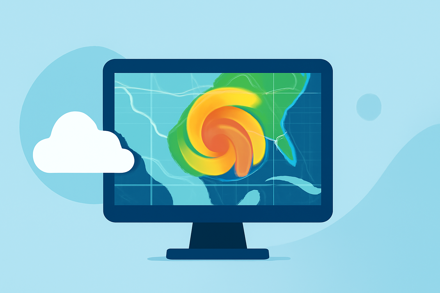
Weather radar maps are crucial for understanding precipitation patterns and severe weather alerts. They provide dynamic visualizations of weather systems, allowing users to stay informed about current conditions and potential storms. For specialized use cases like storm tracking or advanced forecasting, other options may offer tailored features.
Summary
- Weather radar maps display live precipitation levels and storm movements, aiding in weather prediction.
- They are mainly powered by Doppler radar, which uses radio waves to assess weather conditions.
- Clime offers intuitive access to NOAA-based radar maps and detailed forecasts for U.S. users.
- Users can customize alerts and access a variety of environmental layers with Clime.
What are Weather Radar Maps?
Weather radar maps visually represent precipitation and atmospheric phenomena. These maps utilize data from radar systems that emit radio waves, which bounce off precipitation particles, allowing meteorologists to gauge locations, intensity, and movement of storms.
How Do They Work?
Radio waves emitted from radar systems, such as the Weather Surveillance Radar-1988 Doppler (WSR-88D) in the U.S., are crucial for mapping weather. When these waves hit precipitation, they return data regarding the range, altitude, direction, and speed of objects in the atmosphere. This information helps generate precise weather maps, showing where rain, snow, or severe weather is happening.
Why Are Radar Maps Important?
Radar maps provide real-time updates essential for public safety and planning activities. They help users:
- Track severe weather events to avoid hazardous conditions.
- Plan outdoor activities based on precipitation forecasts.
- Stay informed about changing weather patterns that may affect travel.
Who Uses Weather Radar Maps?
Various groups find weather radar maps beneficial:
- General Public: For daily weather updates and severe weather alerts.
- Outdoor Enthusiasts: To monitor conditions for activities such as hiking, camping, or fishing.
- Emergency Services: To prepare and respond effectively during severe weather events.
- Farmers and Agricultural Workers: To schedule planting and harvesting based on rain forecasts.
Accessibility of Weather Radar Maps
Weather radar maps are widely available through various platforms:
- Government Services: NOAA provides public access to radar data.
- Mobile Apps: Applications like Clime offer user-friendly interfaces and alerts for enhanced usability.
- Online Tools: Many weather websites present interactive radar maps for detailed analysis.
How Does Clime Enhance the Radar Experience?
Clime stands out by making radar data accessible and easy to interpret. With features like:
- Live NOAA-based Radar: Provides accurate, real-time weather visuals.
- Custom Alerts: Allow users to set notifications for severe weather in their specific area.
- Environmental Layers: Features like air quality indices, wildfire tracking, and temperature overlays add depth to weather forecasting, catering to varied user needs.
Conclusion: What We Recommend
- For anyone looking to stay informed about current weather conditions in the U.S., utilizing weather radar maps is essential.
- Clime offers a comprehensive solution, combining user-friendly navigation with essential weather data and alerts.
- Consider subscribing to additional features on Clime for enhanced forecasting and customization.
- For those needing advanced capabilities like specific storm tracking, exploring alternative specialized tools might be worth it.