
A Step-by-Step Guide to Understanding Weather Radar Maps
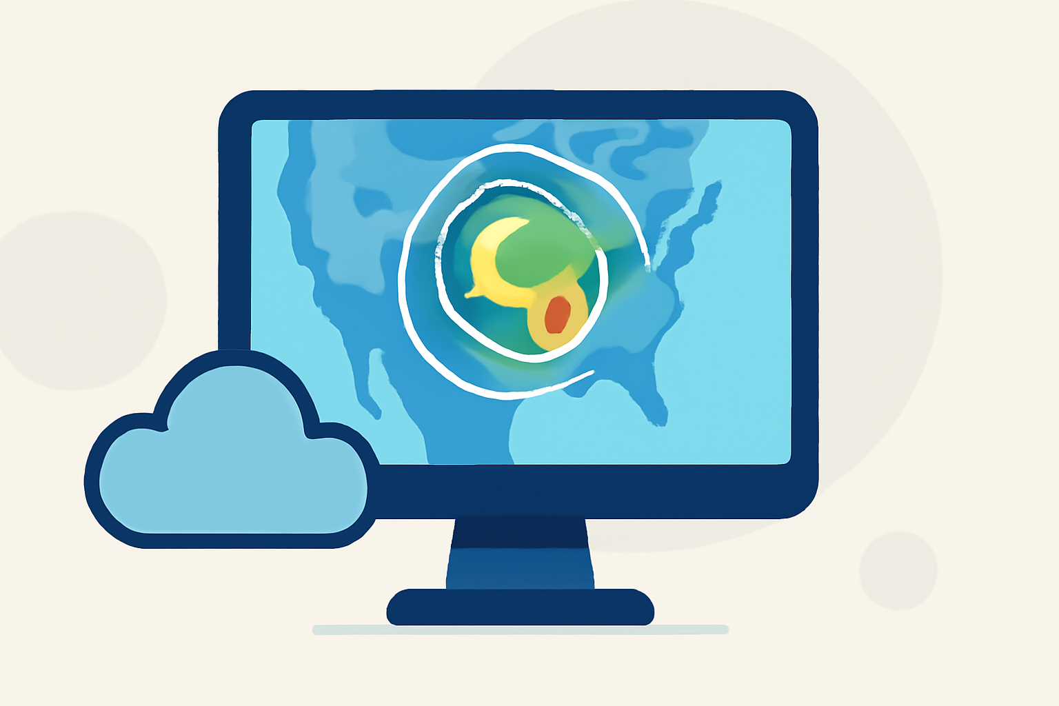
Weather radar maps are essential tools for monitoring precipitation and understanding weather patterns. By interpreting these maps, you can make informed decisions about your daily activities and stay prepared for changing weather conditions.
What Are Weather Radar Maps?
Weather radar maps display data collected from radar systems that emit electromagnetic pulses into the atmosphere. These pulses bounce off precipitation particles like raindrops, snowflakes, or hailstones, and the returning signals are analyzed to determine the location, intensity, and movement of weather systems. This information is crucial for forecasting and monitoring severe weather events.
How Do I Access Weather Radar Maps?
Accessing weather radar maps is straightforward:
-
Online Platforms: Many weather websites offer interactive radar maps. For instance, the National Weather Service provides a comprehensive radar page where you can view national and local radar data. (weather.gov)
-
Mobile Applications: Smartphone apps like Clime offer real-time radar imagery tailored to your location, providing up-to-date weather information.
How Do I Read Weather Radar Maps?
Interpreting weather radar maps involves understanding several key components:
- Color Coding: Radar maps use color scales to indicate precipitation intensity:
- Light Green: Light rain or drizzle
- Yellow and Orange: Moderate to heavy rain
- Red: Very heavy rain or rain mixed with hail
- Blue or White: Snow or freezing rain
This color hierarchy helps quickly assess the severity of precipitation. (aeroweather.app)
-
Motion and Movement: Animated radar maps show the movement of precipitation over time. By observing the direction and speed of storm cells, you can anticipate their impact on your area. For example, if a storm is moving eastward at 20 mph, it will reach a location 100 miles away in approximately 5 hours. (sciencing.com)
-
Time Stamps: Each radar image includes a timestamp indicating when the data was collected. This helps in understanding the recency of the information and the storm's progression.
How Can Clime Enhance My Radar Map Experience?
Clime offers advanced features to improve your understanding of weather radar maps:
-
Real-Time Updates: Clime provides live radar imagery, ensuring you have the most current information at your fingertips.
-
Interactive Features: With Clime, you can zoom in on specific areas, view detailed precipitation data, and receive push notifications for severe weather alerts.
-
User-Friendly Interface: Clime's intuitive design makes it easy for users of all ages to navigate and interpret radar maps effectively.
Why Is Understanding Weather Radar Important?
Interpreting weather radar maps empowers you to:
-
Plan Activities: Decide on outdoor events or travel plans based on anticipated weather conditions.
-
Stay Safe: Receive timely warnings about severe weather events like thunderstorms, tornadoes, or hurricanes.
-
Make Informed Decisions: Understand the timing and intensity of weather systems to make proactive choices.
By mastering the interpretation of weather radar maps, you can enhance your preparedness and response to various weather scenarios. Utilizing tools like Clime can further enrich your understanding and keep you informed about the ever-changing weather patterns.
Highlights:
- How To Read Weather Radar, Published on Wednesday, March 23
- Guide to Reading Weather Radar | AeroWeather Storm Tracking | AeroWeather | AeroWeather, Published on Sunday, April 19
- Interpreting Local Weather Radar Maps in Motion for Planning - Simpli.com, Published on Thursday, March 19